Catalog Archive
Auction 116, Lot 50
"A Globular Draught from the North Pole to the Latitude of 60 Degrees", Cutler, Nathaniel
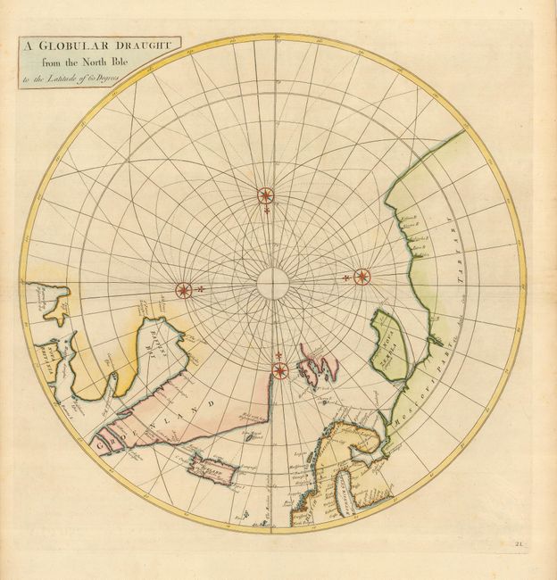
Subject: North Pole
Period: 1728 (published)
Publication: Atlas Maritimus & Commercialis
Color: Hand Color
Size:
19.2 x 19 inches
48.8 x 48.3 cm
Download High Resolution Image
(or just click on image to launch the Zoom viewer)
(or just click on image to launch the Zoom viewer)