Catalog Archive
Auction 116, Lot 169

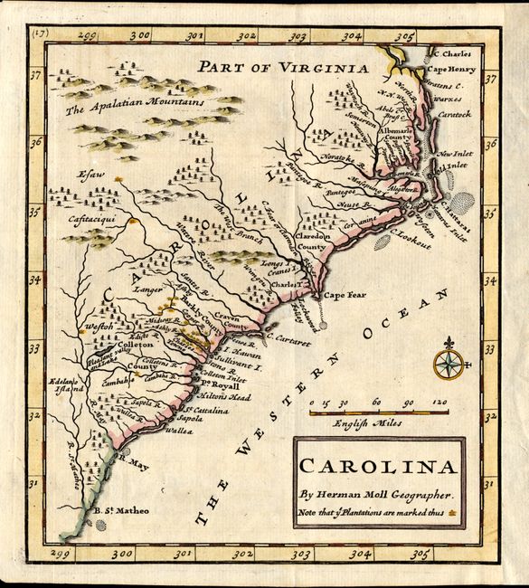
"Carolina", Moll, Herman
Subject: Colonial Southeast

Period: 1741 (published)

Publication: Oldmixon's British Empire in America

Color: Hand Color

Size:
6.3 x 7 inches
16 x 17.8 cm
Download High Resolution Image
(or just click on image to launch the Zoom viewer)

This small, scarce map is derived from the important Gascoyne map of 1682. The map covers the coast from Cape Henry to B. St. Matheo with nice detail of the plantations, particularly in the vicinity of Charlestown. Five counties are named. This is the second state with page number above top border removed.

References: Cumming #148.

Condition: A

Trimmed to neatline at right with added margin.

Estimate: $425 - $500

Sold for: $300

Closed on 9/20/2006

Archived