Catalog Archive
Auction 116, Lot 169
"Carolina", Moll, Herman
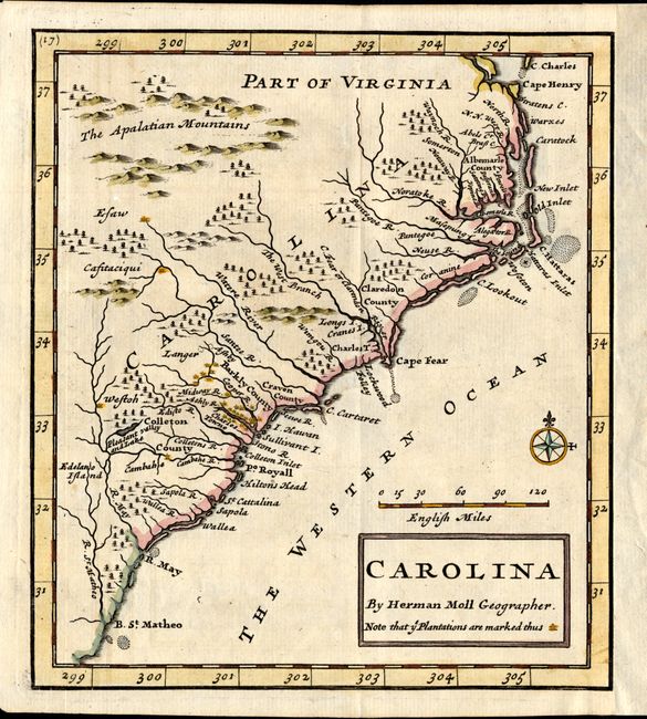
Subject: Colonial Southeast
Period: 1741 (published)
Publication: Oldmixon's British Empire in America
Color: Hand Color
Size:
6.3 x 7 inches
16 x 17.8 cm
Download High Resolution Image
(or just click on image to launch the Zoom viewer)
(or just click on image to launch the Zoom viewer)