Catalog Archive
Auction 115, Lot 343

"Carte de l'Isle de Nieves", Bellin, Jacques Nicolas

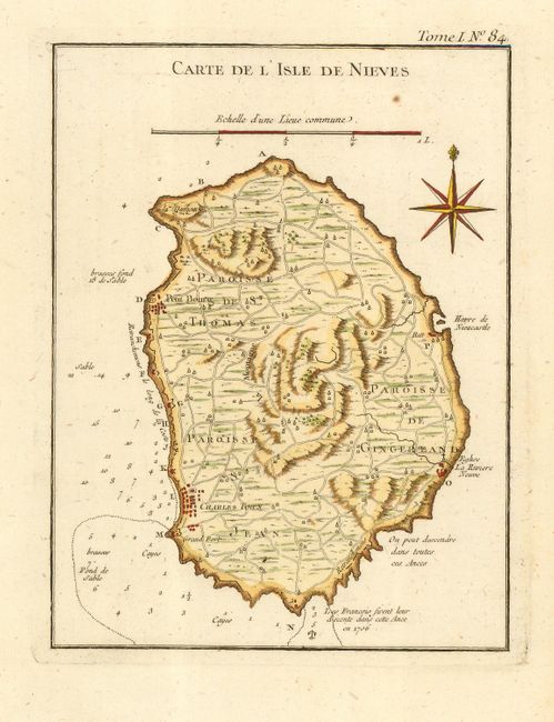
Subject: St. Kitts-Nevis

Period: 1764 (published)

Publication: Le Petit Atlas Maritime

Color: Hand Color

Size:
6.6 x 8.5 inches
16.8 x 21.6 cm
Download High Resolution Image
(or just click on image to launch the Zoom viewer)

Attractive and detailed map of Nevis in the Leeward Islands of the West Indies. Nevis is a part of present-day St. Kitts-Nevis, an Associated State in the British Commonwealth. The map details the topography, names the parishes, and shows the roads, towns, soundings, and anchorages. Compass rose with fleur-de-lys and distance scale.

References: Phillips (A) #3508, v.1-84; Sellers & Van Ee #1995; Tooley (MCC-81) St. Kitts #39.

Condition: A

Crisp impression on hand laid paper with wide margins. Fine modern hand coloring. One small spot in upper blank area.

Estimate: $130 - $150

Sold for: $300

Closed on 6/21/2006

Archived