Catalog Archive
Auction 115, Lot 331
"[Lot of 2 - West India Islands]", Thomson, John
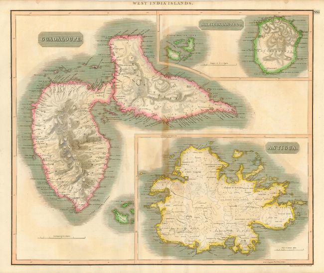
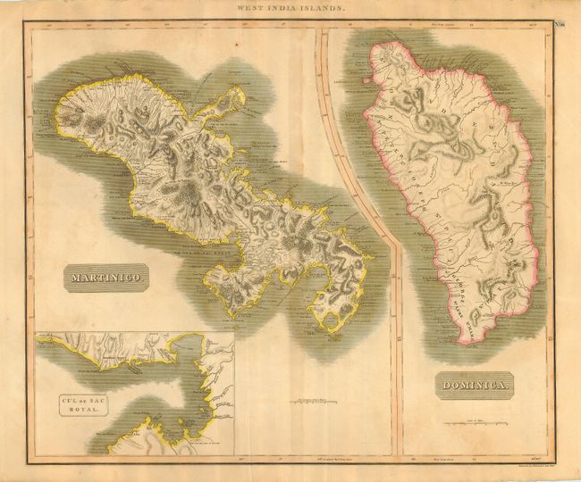
Subject: Lesser Antilles
Period: 1815 (circa)
Publication: New General Atlas
Color: Hand Color
Size:
23.5 x 19.8 inches
59.7 x 50.3 cm
Download High Resolution Image
(or just click on image to launch the Zoom viewer)
(or just click on image to launch the Zoom viewer)