Subject: Mexico
Period: 1750-1850 (circa)
Publication:
Color:
Lot of six maps and charts of Mexico includes:
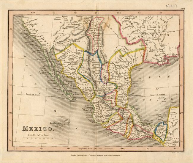
1) Mexico, by J. Mawman, London, 1827. Map covers southern U. S. (San Luis Potosi, Louisiana, New California) to South America. Outline color, some old tape on verso with no bleed through, 9 x 7".
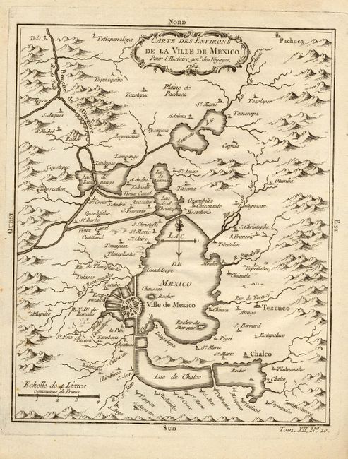
2) Carte des Environs de la Ville de Mexico. Pour l'Histoire gene. des Voyages, 1754. Bellin. Uncolored as issued, 6.5 x 8".
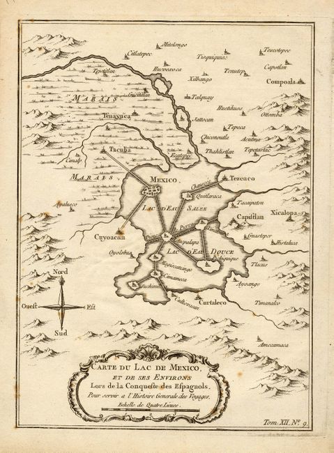
3) Carte du Lac de Mexico, et de ses Environs Lors de la Conqueste des Espagnols. Pour servir a l'Histoire Generale des Voyages, ca. 1760, Bellin. Uncolored as issued, 6 x 8.4".
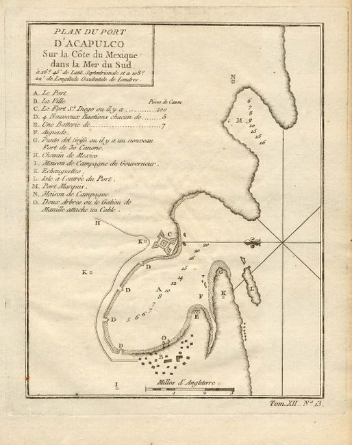
4) Plan du Port D'Acapulco Sur la Cote du Mexique dans la Mer du Sud. Ca. 1760, Bellin. Uncolored as issued, 6 x 7.5".
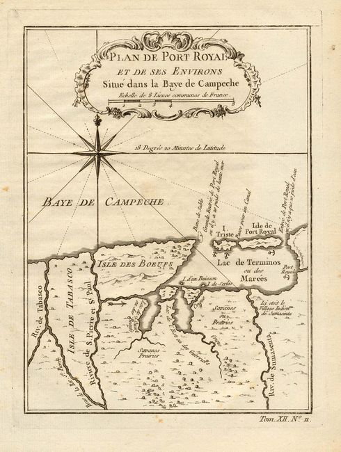
5) Plan de Port Royal et de ses Environs Situe dans la Baye de Campeche, ca. 1760, Bellin. Uncolored as issued, 5.5 x 7.3".
6) Mexico & Guatemala: Published by Thomas, Cowperthwait & Co. Philadelphia, 1850. Hand color, 15 x 12".
References:
Condition: A
All are very good, a couple of insignificant spots on one or two maps. Some near fine.