Catalog Archive
Auction 115, Lot 30

"Nieuwe en Nette Zeekaart van de Geheele Waareld…", Lindemann, O.
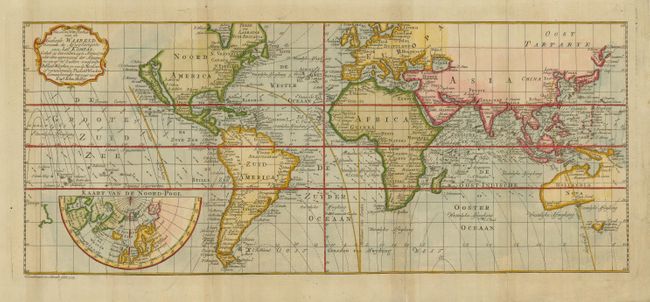
Subject: World

Period: 1775 (dated)

Publication:

Color: Hand Color

Size:
18.5 x 7.5 inches
47 x 19.1 cm
Download High Resolution Image
(or just click on image to launch the Zoom viewer)

Very scarce chart derived from Edmond Halley's map of 1700 with wind and current directions and lines of magnetic variation. The rather outdated island of California is prominent in North America. In the Pacific, Australia is partially mapped and there is only the western coastline of New Zealand. An inset features a partial hemisphere of the North Pole with the mythical island of Frisland still evident.

References:

Condition: B+

Issued folding, now flattened with some light toning along folds. Professional repairs of marginal tears.

Estimate: $800 - $1,000

Unsold

Closed on 6/21/2006

Archived