Subject: Canada
Period: 1855-73 (published)
Publication:
Color: Printed Color
Lot of four maps related to eastern Canada.
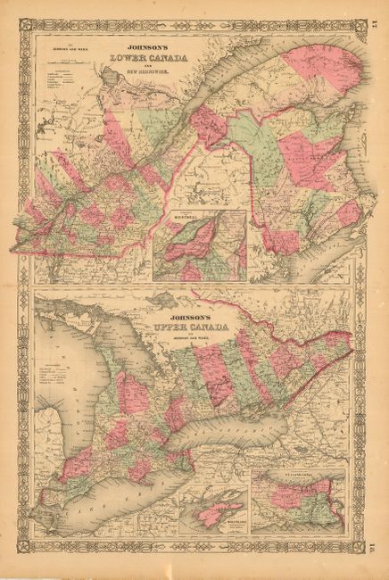
1) "Johnson's Lower Canada and New Brunswick / Johnson's Upper Canada," Johnson and Ward, Illustrated Atlas, New York, 1864, 14.5 x 22.8". Double-page map with two maps contained in a common border.
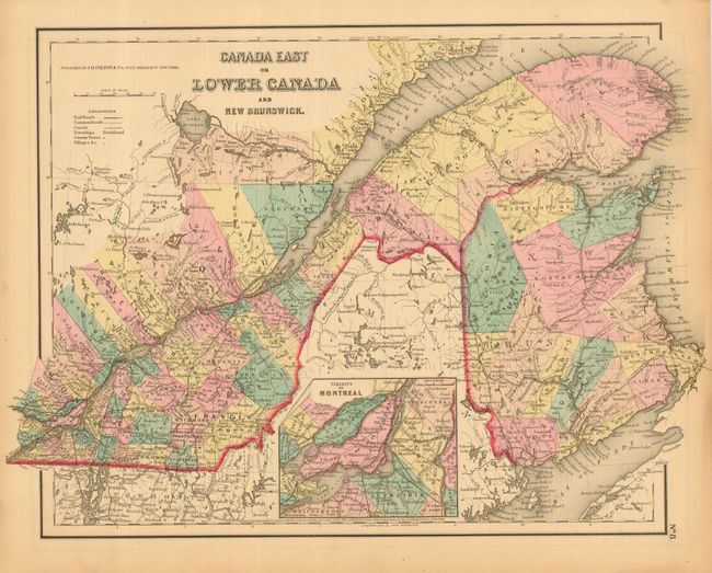
2) "Canada East or Lower Canada and New Brunswick," Colton, New York, 1855, 16 x 11.8". Includes inset of Montreal.
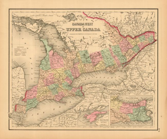
3) "Canada West or Upper Canada," Colton, New York, 1855, 14.5 x 11.8". With insets of Wolf Island and Welland Canal.
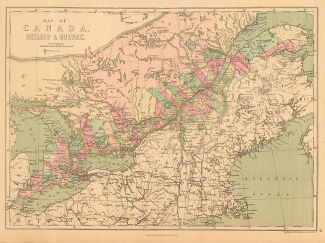
4) "Map of Canada, Ontario & Quebec," J. David Williams, New York, 1873, 17.2 x 12.3".
References:
Condition: A
All in very good condition or better. The first has a little light staining along centerfold that appears to be from and old pressed flower.