Subject: North America
Period: 1830-60 (circa)
Publication:
Color:
Great collection of maps of North America that cover a historically important period.
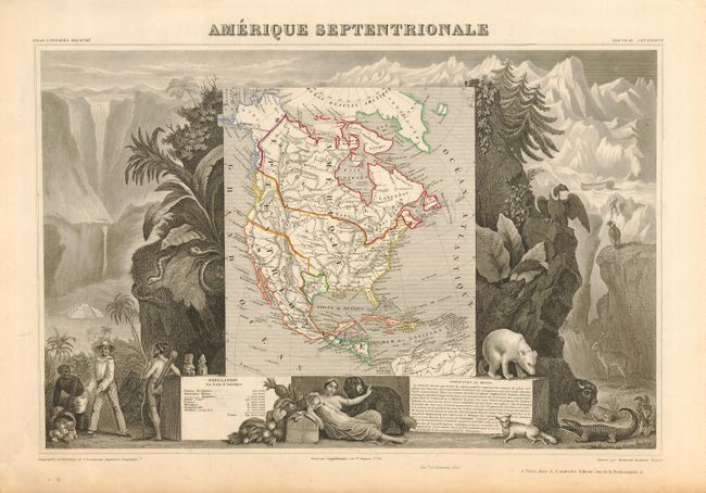
1) "Amerique Septentrionale" Victor Levasseur, Paris, 1838, outline color, 17 x 11.5". With the Independent Republic of Texas. Marginal toning with a few short tears, map is very good.
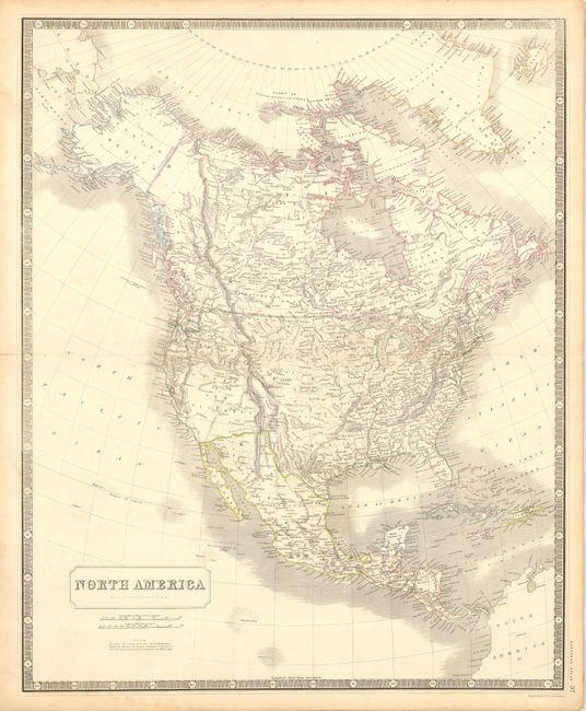
2) "North America" by A. K. Johnston, circa 1846, outline color, 19.5 x 23.5". England claims part of the Pacific Northwest.
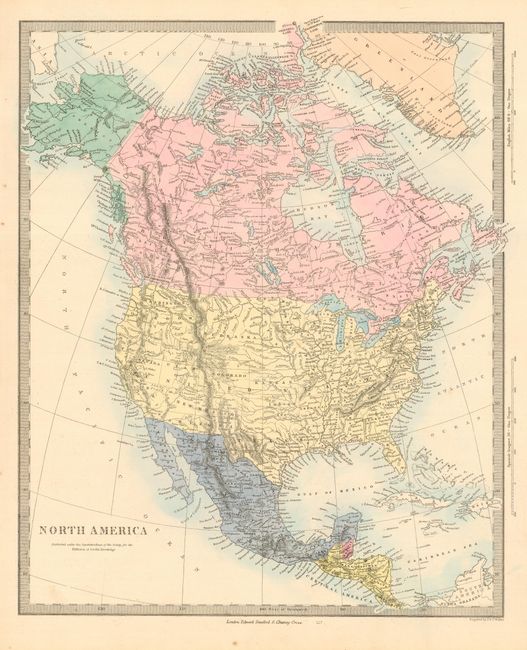
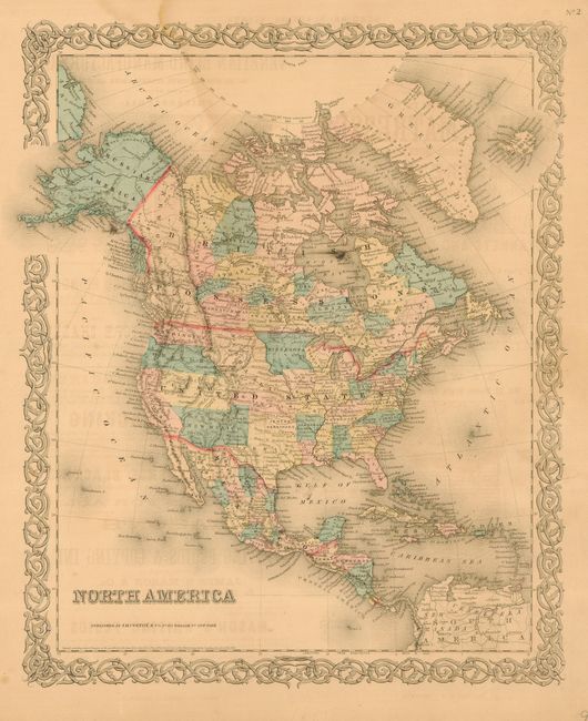
3) "North America" by SDUK, circa 1862, London, hand color, 12 x 14.8". Features the Confederate Territory of Arizona.
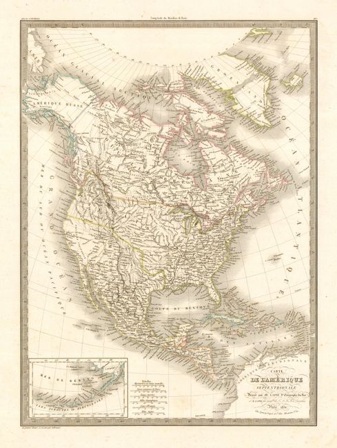
4) "Carte de l'Amerique Septentrionale" by M. Lapie, Paris, 1830, outline color, 15.5 x 21". The U.S. claims much of British Canada in the fifty-four forty of fight dispute.
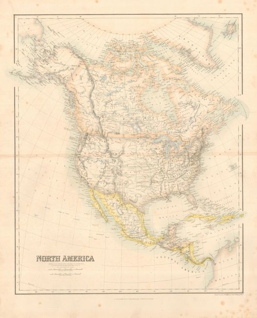
5) "North America" by G. H. Swanston, Edinburgh, hand color, 15.5 x 19". A few spots and toning along centerfold.
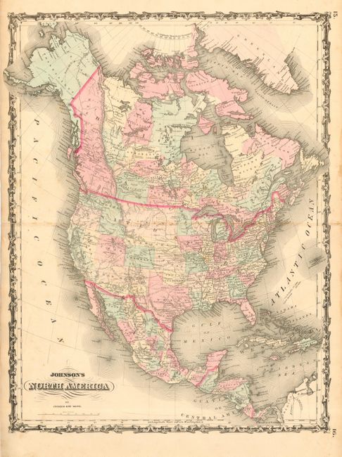
6) "Johnson's North America" by Johnson and Ward, circa 1862, hand color, 16.5 x 21.5". Shows the area of the Confederate Territory of Arizona through line and hand coloring, but it is not named. A few spots and splits along centerfold into map.
7) "North America" by J. H. Colton, New York, 1850, hand color, 12.5 x 15". Slight water stain at top just entering map.
References:
Condition: A
The maps are generally very good except as noted below.