Catalog Archive
Auction 114, Lot 357

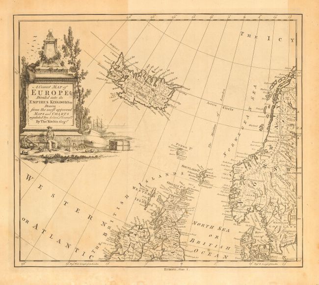
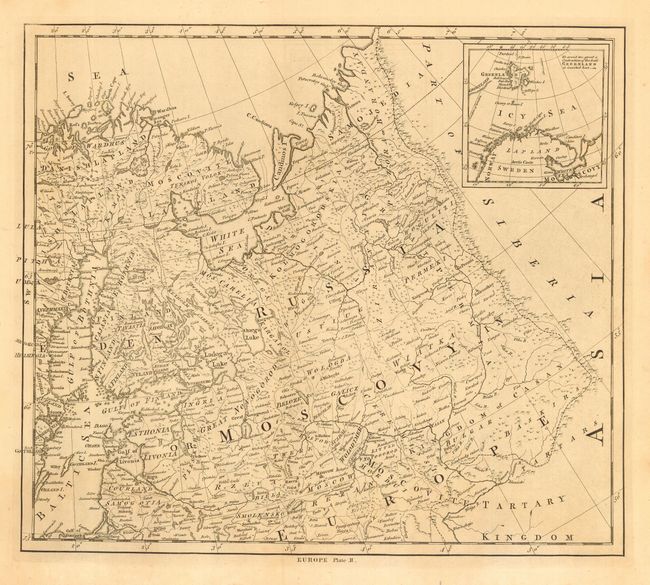
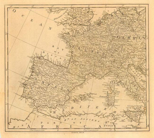
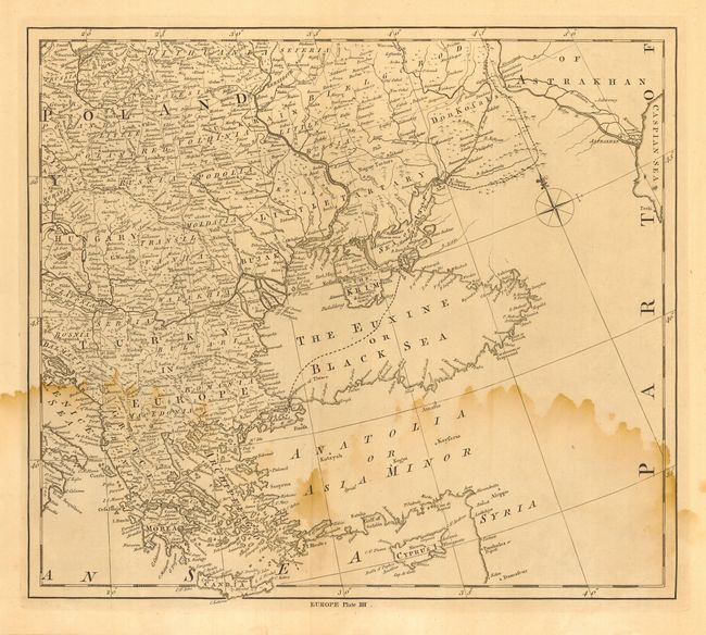
"A Correct Map of Europe Divided into its Empires Kingdoms &c Drawn from the most Approved Maps and Charts regulated by Astron. Observat. [4 sheets]", Kitchin, Thomas

Subject: Europe

Period: 1780 (circa)

Publication:

Color: Black & White

Size:
15.7 x 13.7 inches
39.9 x 34.8 cm
Download High Resolution Image
(or just click on image to launch the Zoom viewer)

Map on four sheets (dimensions for each sheet), each further titled at bottom with "Europe" and Plate I through IIII. Kitchen has borrowed extensively from the work of d'Anville, Robert de Vaugondy and other eminent geographers of his time, to produce this highly detailed four-sheet map of Europe. Named places are shown in abundance and boundaries are included. An interesting pictorial cartouche in the first plate shows a seaman with an anchor, maritime paraphernalia and a ship in the background. The maps have their own borders and were not intended to be joined.

References:

Condition: B

Dark, crisp impression on hand laid paper with wide margins. Occasional toning on all with large water stain on Plate IIII.

Estimate: $180 - $240

Sold for: $90

Closed on 3/1/2006

Archived