Catalog Archive
Auction 113, Lot 732

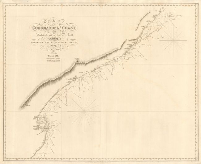
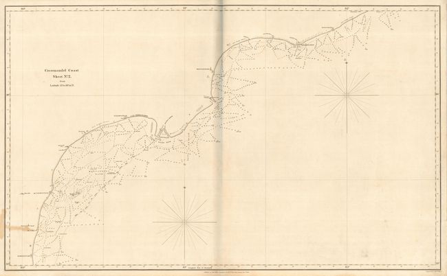
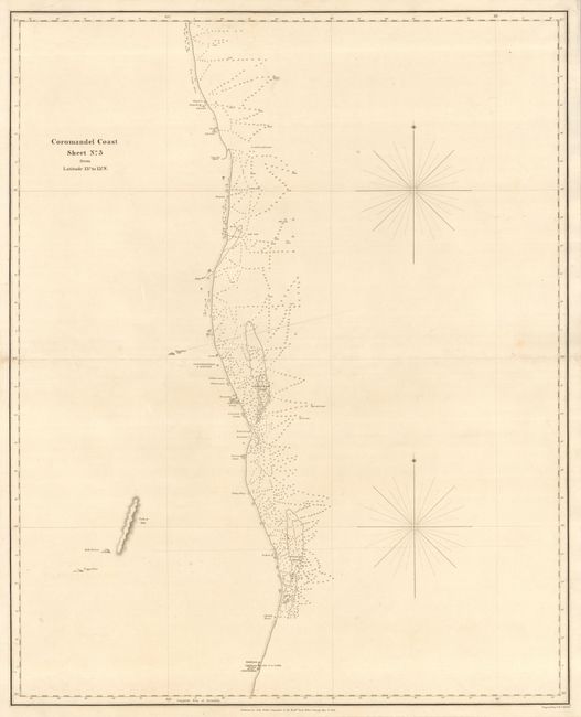
"[Lot of 3] Chart of the Coromandel Coast …Sheet No. 1 [and] Sheet No. 2 [and] Sheet No. 3", Fell, William

Subject: India

Period: 1848 (dated)

Publication:

Color: Black & White

Size:
See Description
Download High Resolution Image
(or just click on image to launch the Zoom viewer)

Detailed set of large sea charts covering the Indian coastline from just above Vishakhapatnam to Madras. Sheet 1 covers from Latitude 16° 30' to 18° 05' North, including Coringah Bay & Santipilly Shoal (30.5 x 25"). Sheet 2 covers from Latitude 15° to 16° 30' N. (37.5 x 23") and Sheet 3 covers from Latitude 13° to 15° N. (24 x 30"). The charts were drawn by Lt. William Fell of the Indian Navy and engraved by J. & C. Walker. Backed with linen, apparently as issued.

References:

Condition: B

Couple of minor stains, otherwise very good.

Estimate: $150 - $200

Sold for: $140

Closed on 12/7/2005

Archived