Catalog Archive
Auction 113, Lot 318

"Carte Reduite des Isles Antilles", Bellin, Jacques Nicolas

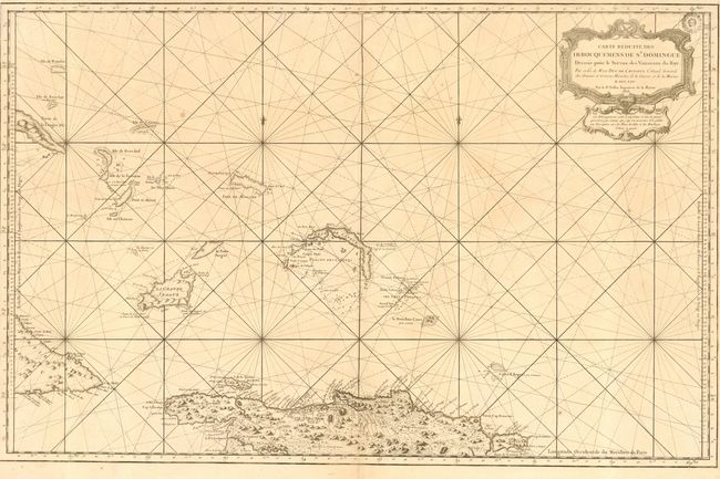
Subject: Lesser Antilles

Period: 1768 (dated)

Publication:

Color: Black & White

Size:
35 x 23 inches
88.9 x 58.4 cm
Download High Resolution Image
(or just click on image to launch the Zoom viewer)

Superb, large-scale chart of the small islands lying to the north of Cuba and Hispaniola including the southern tip of Long Island, Acklins Island, Mayaguana Island, Great Inagua Island and the Turks & Caicos Islands. The chart also provides excellent detail of the northern coastline of Hispaniola and the eastern tip of Cuba. The chart is beautifully engraved with a fine title cartouche and rhumb lines.

References:

Condition: A

Printed on heavy paper with a crisp impression. Couple of unobtrusive spots from small flaws in the paper, else near fine with good margins.

Estimate: $400 - $500

Sold for: $300

Closed on 12/7/2005

Archived