Subject: Reference Books
Period: 1981 (published)
Publication:
Color: Black & White
Size:
6 x 9 inches
15.2 x 22.9 cm
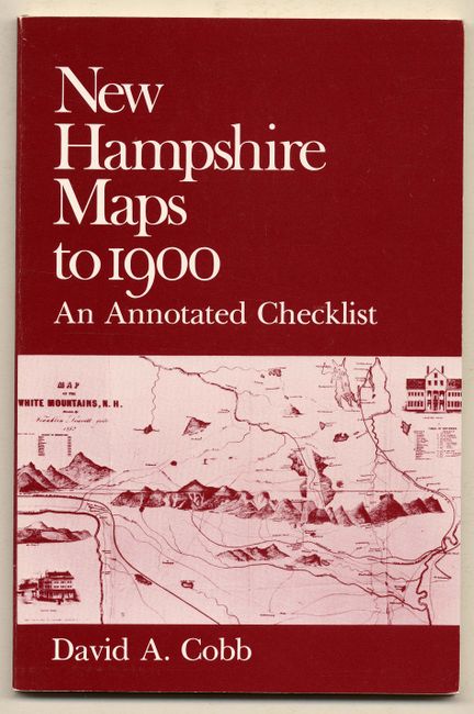
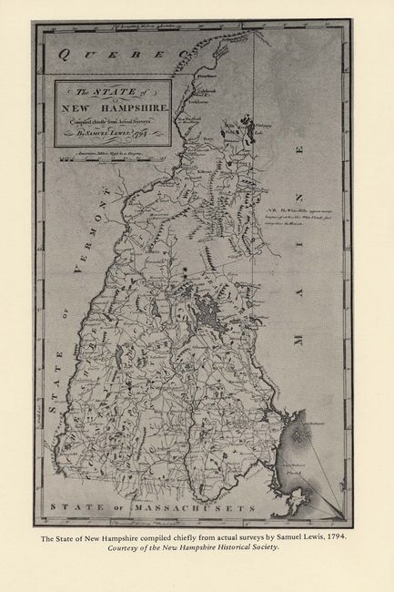
Published by the New Hampshire Historical Society. An invaluable and comprehensive reference to the mapping of New Hampshire, listing 516 maps. Paper pictorial covers, 106 pp. Contents: Title page; Acknowledgments; Contents; Abbreviations; Introduction; Explanation of Items; Special Map Collections in New Hampshire; Maps of New Hampshire (516); Appendix A - U.S. Geological Survey Mapping of New Hampshire; Appendix B - Sanborn Fire Insurance Maps of New Hampshire; Appendix C - New Hampshire Place Names: An Index to Name Changes; References, Index to Authors, Engravers, and Publishers; Index of Places and Railroads.
References:
Condition: A+
Fine.


