Catalog Archive
Auction 111, Lot 784

"New Hampshire Maps to 1900 An Annotated Checklist", Cobb, David A.

Subject: Reference Books

Period: 1981 (published)

Publication:

Color: Black & White

Size:
6 x 9 inches
15.2 x 22.9 cm
Download High Resolution Image
(or just click on image to launch the Zoom viewer)
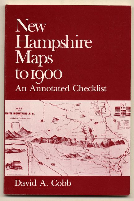
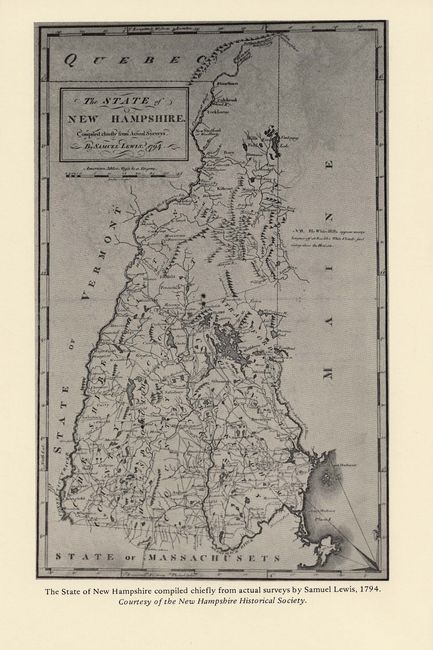
Published by the New Hampshire Historical Society. An invaluable and comprehensive reference to the mapping of New Hampshire, listing 516 maps. Paper pictorial covers, 106 pp. Contents: Title page; Acknowledgments; Contents; Abbreviations; Introduction; Explanation of Items; Special Map Collections in New Hampshire; Maps of New Hampshire (516); Appendix A - U.S. Geological Survey Mapping of New Hampshire; Appendix B - Sanborn Fire Insurance Maps of New Hampshire; Appendix C - New Hampshire Place Names: An Index to Name Changes; References, Index to Authors, Engravers, and Publishers; Index of Places and Railroads.

References:

Condition: A+

Fine.

Estimate: $30 - $40

Sold for: $21

Closed on 6/8/2005

Archived