Catalog Archive
Auction 111, Lot 663
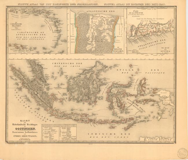
"Kaart der Nederlandsche Bezittingen in Oostindien. Possessions hollandaises aux Indes Orientales", Desterecq, Francois

Subject: East Indies - Indonesia
Period: 1841 (published)
Publication: Atlas der Nederlanden
Color: Black & White
Size:
21.7 x 17.5 inches
55.1 x 44.5 cm
Download High Resolution Image
(or just click on image to launch the Zoom viewer)
(or just click on image to launch the Zoom viewer)

