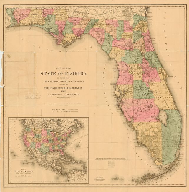
"Map of the State of Florida to Accompany a Descriptive Pamphlet of Florida Issued by the State Board of Immigration", Colton, G.W. & C.B.
Subject: Florida
Period: 1882 (dated)
Publication:
Color: Hand Color
Size:
26.4 x 26.5 inches
67.1 x 67.3 cm
Highly detailed, handsome and large map of the state showing 39 counties. Delineates railroads, swamps, towns and cities, etc. With a large inset "Map of North America South of the 55th Parallel Showing the Relative Position of Florida." Drawn under the supervision of A.A. Robinson, Commissioner to the State Board of Immigration. A seldom seen map that we can not find in any price guide or dealer's catalog in our library.
References:
Condition: B
Folding as issued. Small area of light stain in blank area near title and numerous splits at fold intersections, else very good. Left border a little rough with three small areas of paper loss.