Catalog Archive
Auction 110, Lot 681

"Carte d'une Partie du Grand Ocean a l'E. et SE. de la Nouvelle Guinee…", La Perouse, Comte Jean F. Galoup, de

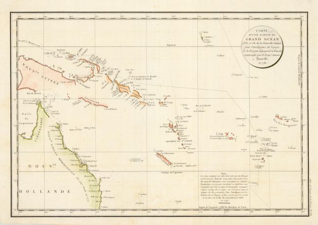
Subject: Australia and Polynesia

Period: 1797 (published)

Publication:

Color: Hand Color

Size:
19.5 x 13.2 inches
49.5 x 33.5 cm
Download High Resolution Image
(or just click on image to launch the Zoom viewer)

This chart illustrates the voyage of the Spanish explorer Dom Francisco Antonio Maurelle through the Friendly Islands and across the Pacific to the coast of New Guinea in 1781. It includes the Navigators Islands, Fiji, the Hebrides Isles, New Caledonia, the Solomon Islands and the northeast coast of Australia. Many small islands are depicted with notes regarding their sightings by Tasman, Bligh and Maurelle. A publisher's note states that the longitude on the chart has been corrected based on a French chart by Jacques Nicolas Bellin in 1742.

References:

Condition: B

Bit of very faint foxing, else very good.

Estimate: $220 - $275

Sold for: $160

Closed on 3/2/2005

Archived