Catalog Archive
Auction 110, Lot 502
"Le Cercle de la Haute Saxe, ou sont compris le Duche et Electorat de Saxe les Marquisats de Misnie et de Lusace le Landgraviat de Thuringe, … Le Brandebourg, et la Pomeranie…", Sanson/Jaillot
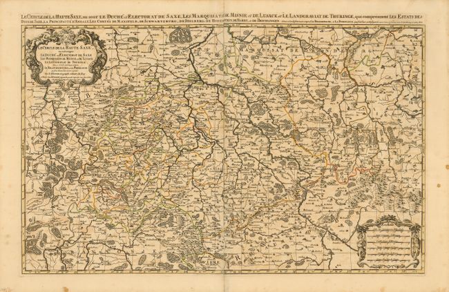
Subject: Eastern Europe
Period: 1692 (dated)
Publication: Atlas Nouveau
Color: Hand Color
Size:
34 x 21 inches
86.4 x 53.3 cm
Download High Resolution Image
(or just click on image to launch the Zoom viewer)
(or just click on image to launch the Zoom viewer)