Catalog Archive
Auction 110, Lot 486

"Tab. IV. Europae, Germaniam et Galliam Belgicam Exhibens…", Ptolemy/Mercator
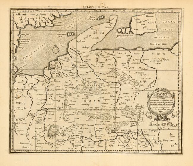
Subject: Germany

Period: 1698 (circa)

Publication: Claudii Ptolemaei Tabulae Geographicae…

Color: Black & White

Size:
16 x 13.4 inches
40.6 x 34 cm
Download High Resolution Image
(or just click on image to launch the Zoom viewer)

A fine map of ancient Germany beautifully engraved to illustrate the topography and cities and embellished with a strapwork title cartouche. Mercator originally published this map in his 1578 edition of Ptolemy's great geography. Although he is most renowned today for the projection he popularized and for first using the term atlas for a collection of maps, he devoted much of his life to his Ptolemaic maps.

References: Mickwitz & Miekkavaara, (Nordenskiold Vol. 2) #234-22.

Condition: A

Minor flaws in margins, well away from map. A few light spots in map, still very good.

Estimate: $150 - $200

Sold for: $220

Closed on 3/2/2005

Archived