Catalog Archive
Auction 110, Lot 154

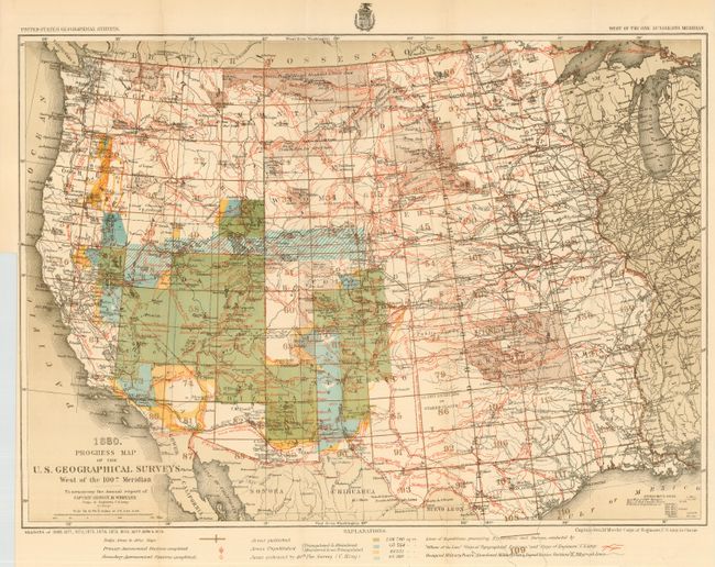
"Progress Map of the U. S. Geographical Surveys West of the 100th Meridian…", U.S. Army

Subject: United States - Western

Period: 1880 (dated)

Publication: Annual report of Captain George M. Wheeler

Color: Printed Color

Size:
22.3 x 16 inches
56.6 x 40.6 cm
Download High Resolution Image
(or just click on image to launch the Zoom viewer)

A remarkable and attractive map with a detailed representation of the various routes of western expeditions and the historic surveys of King, Wheeler, Powell & Hayden. Among the details are the locations of occupied and abandoned posts, signal service stations, telegraphic lines, routes of cattle droves and trains, and more information on explorer's routes than we've seen on any map. The map reflects the survey efforts during the seasons of 1869 to 1879.

References:

Condition: A+

Folding as issued.

Estimate: $250 - $300

Sold for: $375

Closed on 3/2/2005

Archived