Catalog Archive
Auction 110, Lot 122

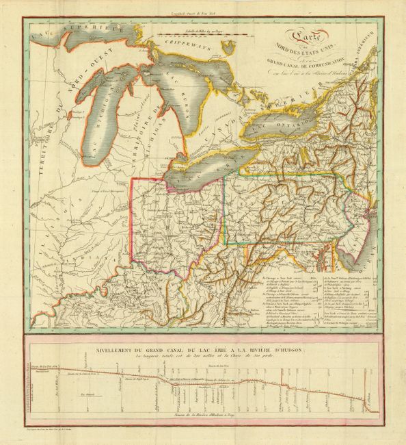
"[Lot of 2] Carte du Nord des Etats Unis et ou Grand Canal de Communication du Lac Erie a la Riviere d'Hudsons [with] Plan et Profil du Canal Projette du Lac Erie a la Riviere Hudson dans l'Etat de Neuwyork", Cordier, Louis Etienne Joseph

Subject: Eastern United States and Great Lakes

Period: 1820 (circa)

Publication: Histoire de la navigation Interieure

Color: Hand Color

Size:
See Description
Download High Resolution Image
(or just click on image to launch the Zoom viewer)

Two maps illustrating the road and canal network in the Great Lakes region. The first map (14.4 x 16.5") covers the region south of Lakes Erie and Ontario with Ohio, Pennsylvania and New York. At bottom is a profile plan titled "Niveau de la Riviere d' Hudson a Troy." Second map (22 x 5.5") is a profile plan of the can connecting Lake Erie with the Hudson River. Cordier was a French military engineer who published several works on canals, railways and roads in France, England and America.

References:

Condition: A+

Both issued folding. Second with faint offsetting that erases easily.

Estimate: $350 - $400

Sold for: $325

Closed on 3/2/2005

Archived