Catalog Archive
Auction 109, Lot 499

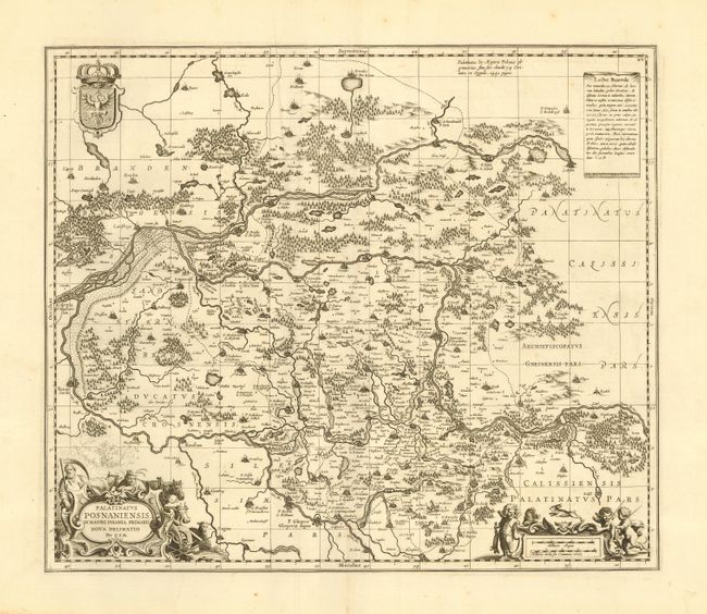
"Palatinatus Posnaniensis, in Maiori Polonia Primarii Nova Delinatio", Pitt, Moses
Subject: Poland

Period: 1681 (published)

Publication: Atlas

Color: Black & White

Size:
21 x 18 inches
53.3 x 45.7 cm
Download High Resolution Image
(or just click on image to launch the Zoom viewer)

Uncommon and very beautifully engraved map of the western part of Poland including the cities of Poznan and Glogow. The map is attributed to Gerard Mercator, but was copied from Blaeu's map of the same title. Finely engraved to illustrate the rivers, forests, lowlands, lakes, cities, towns and villages. Each corner is richly adorned with cartouches, armorial shields, figures, livestock and putti.

References:

Condition: A+

Fine impression with a few insignificant defects in blank margins, well away from map.

Estimate: $325 - $400

Sold for: $350

Closed on 12/1/2004

Archived