Catalog Archive
Auction 108, Lot 43
"Carte Historique, Cronologique, et Geographique de l'Empire Romain, ou l'on fait Observer son Etendue, et Diverses Remarques pour l'Intelligence de l'Historie", Chatelain, Henry Abraham
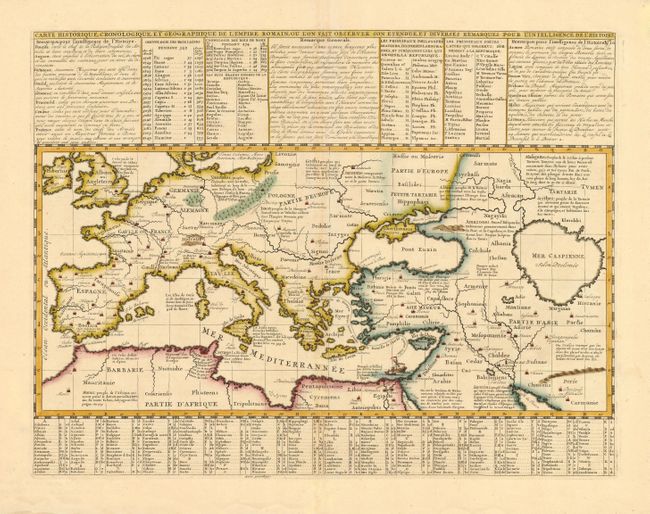
Subject: Ancient World
Period: 1719 (circa)
Publication: Atlas Historique
Color: Hand Color
Size:
17.5 x 13.4 inches
44.5 x 34 cm
Download High Resolution Image
(or just click on image to launch the Zoom viewer)
(or just click on image to launch the Zoom viewer)