Subject: Iowa
Period: 1856 (dated)
Publication:
Color: Hand Color
Size:
48 x 33 inches
121.9 x 83.8 cm
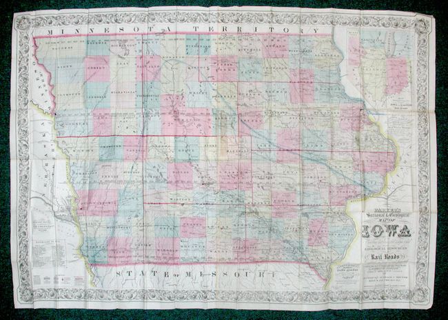
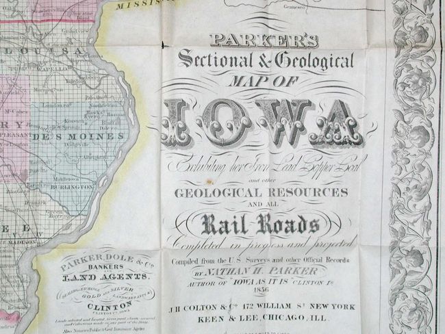
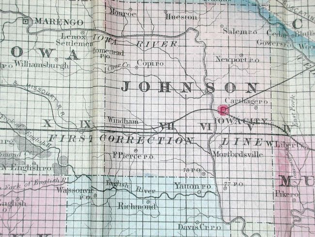
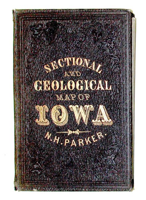
This very large folding map was commissioned by Nathan H. Parker and published by J.H. Colton. Parker was a partner in the Clinton Iowa firm of Parker, Dole & Co. They were bankers and land agents in Iowa when the state was young. This type of map was generally issued as an inducement to settlement and investment in unsettled parts of the country. This particular piece is one of the most collected and sought after maps of the state of Iowa. The map has very bright original hand color and a beautifully ornate decorative scrollwork border. The state of Iowa is bordered on the north and west by the territories of Minnesota and Nebraska. There is an inset map showing the connections to the eastern railroads. Two joined sheets folding into original embossed cloth boards with gilt title on front cover.
References:
Condition: A
Overall very good, especially for such a large folding map. A few minor separations at fold intersections. Covers with sunned spine and a bit of shelf wear, else very good.