Catalog Archive
Auction 108, Lot 145
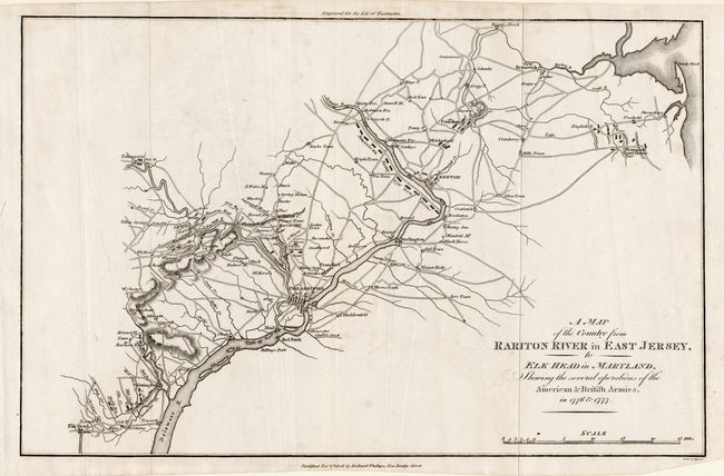
"A Map of the Country from Rariton River in East Jersey, to Elk Head in Maryland, Shewing the several operations of the American & British Armies, in 1776 & 1777", Phillips, Richard (Sir)
Subject: United States - Mid-Atlantic
Period: 1806 (dated)
Publication: Marshall's Life of Washington
Color: Black & White
Size:
15.1 x 9.7 inches
38.4 x 24.6 cm
Download High Resolution Image
(or just click on image to launch the Zoom viewer)
(or just click on image to launch the Zoom viewer)