Catalog Archive
Auction 108, Lot 142
"Map of the Northern Provinces of the United States", Russell, John C., Jr.
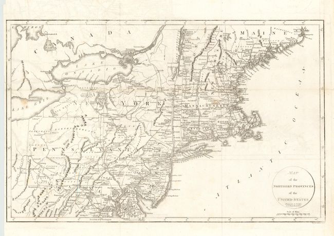
Subject: United States - Northeast
Period: 1799 (circa)
Publication: Travels Through the United States…
Color: Black & White
Size:
20 x 12.7 inches
50.8 x 32.3 cm
Download High Resolution Image
(or just click on image to launch the Zoom viewer)
(or just click on image to launch the Zoom viewer)