Catalog Archive
Auction 108, Lot 141
"Karte der Vereinigten Staaten von Nord America", Walch, Johannes
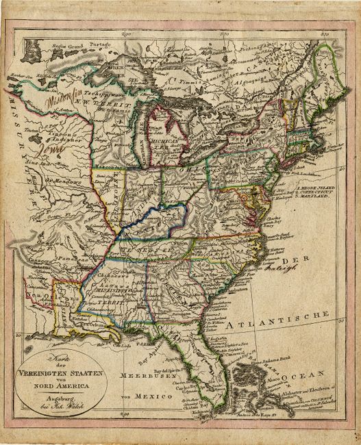
Subject: United States - Eastern
Period: 1820 (circa)
Publication: Neuester Schul-Atlas
Color: Hand Color
Size:
8 x 9.2 inches
20.3 x 23.4 cm
Download High Resolution Image
(or just click on image to launch the Zoom viewer)
(or just click on image to launch the Zoom viewer)