Catalog Archive
Auction 108, Lot 123

"Pas Kaart Van de Kust van Carolina Tusschen C de Canaveral en C Henry…", Keulen, Johannes van

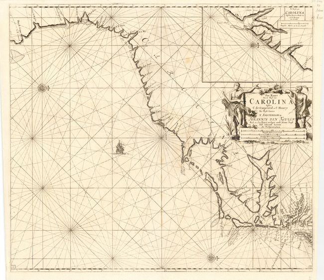
Subject: Colonial Southeast

Period: 1702 (circa)

Publication: Zee-Fakkel

Color: Black & White

Size:
22.8 x 20.5 inches
57.9 x 52.1 cm
Download High Resolution Image
(or just click on image to launch the Zoom viewer)

This scarce Dutch sea chart is one of the most handsome early maps of the Carolinas. It covers the coast from the southern part of the Chesapeake Bay to Cape Canaveral in northern Florida. It also includes a large inset of Charleston Harbor showing Charles Towne on the west bank of the Rio Grande (Ashley River). The Van Keulen family was one of the chief publishers of nautical atlases in the latter half of the seventeenth century. Page numbers 18 in both lower corners indicating this is from the third state of the plate.

References: Cumming (SE) # 91.

Condition: A

Good impression and margins. A couple of very faint spots in map, still very good.

Estimate: $2,500 - $3,000

Sold for: $1,900

Closed on 9/29/2004

Archived