Catalog Archive
Auction 104, Lot 36

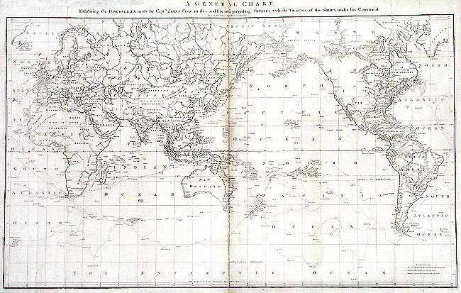
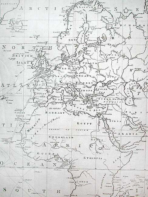
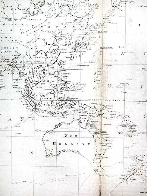
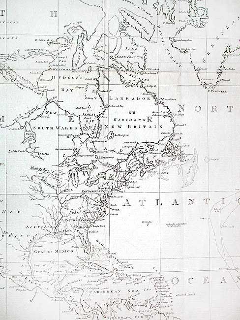
"A General Chart: Exhibiting the Discoveries made by Captn. James Cook in this and his two preceding Voyages; with the Tracks of the Ships under his Command", Cook, James (Capt.)

Subject: World

Period: 1784 (published)

Publication: A voyage to the Pacific Ocean (Atlas)

Color: Black & White

Size:
35.7 x 21.5 inches
90.7 x 54.6 cm
Download High Resolution Image
(or just click on image to launch the Zoom viewer)

Large map on Mercator's projection compiled by Lieut. Henry Roberts from Cook's surveys after the third expedition. The map is centered on Australasia with the routes of the Endeavour (1768-71), and Resolution (1772-75 and 1776-80) with occasional notes along the tracks. Robert's began his compilation under Cook's supervision and completed it after Cook's death. It was used in the official account of the third voyage. Engraved by W. Palmer.

References: Perry & Prescott 1784-4; Falk, 1784-4; Wagner (NW) 699.

Condition: B

Toned along centerfold. Tissue repairs on folds and two 1" tears into map on bottom inside folds.

Estimate: $800 - $900

Sold for: $700

Closed on 9/10/2003

Archived