Catalog Archive
Auction 104, Lot 36
"A General Chart: Exhibiting the Discoveries made by Captn. James Cook in this and his two preceding Voyages; with the Tracks of the Ships under his Command", Cook, James (Capt.)
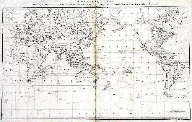
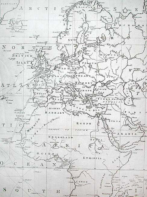
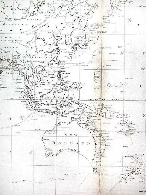
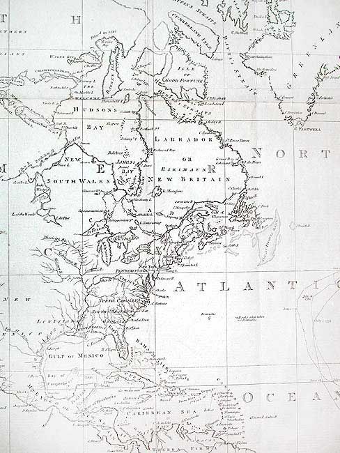
Subject: World
Period: 1784 (published)
Publication: A voyage to the Pacific Ocean (Atlas)
Color: Black & White
Size:
35.7 x 21.5 inches
90.7 x 54.6 cm
Download High Resolution Image
(or just click on image to launch the Zoom viewer)
(or just click on image to launch the Zoom viewer)