Catalog Archive
Auction 104, Lot 282

"Plan of the Town and Citadel of Fort Royal the Capital of Martinico with the Bay of Culde Sac Royal", Jefferys, Thomas
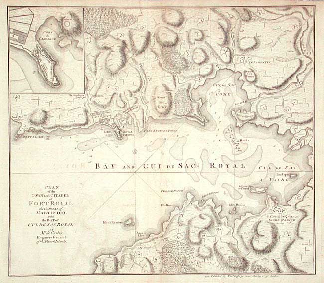
Subject: Martinique

Period: 1760 (circa)

Publication:

Color: Black & White

Size:
14 x 12.2 inches
35.6 x 31 cm
Download High Resolution Image
(or just click on image to launch the Zoom viewer)

Fully engraved and detailed copper engraved map of Martinique centered on the Bay of Fort-de-France. Locates Point Negro, Fort Royal (Fort-de-France), Free Negro's Point, Morne aux Dames, Morne Rouge, Vache Parish, Grosse Point and much more. Inset of Port du Carenage and the fort.

References:

Condition: B

Good impression on hand laid paper with watermark. A little scattered toning and light offsetting.

Estimate: $120 - $150

Sold for: $65

Closed on 9/10/2003

Archived