Subject: Atlases
Period: 1860 (published)
Publication:
Color: Hand Color
Size:
22 x 28 inches
55.9 x 71.1 cm
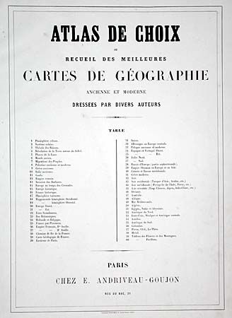
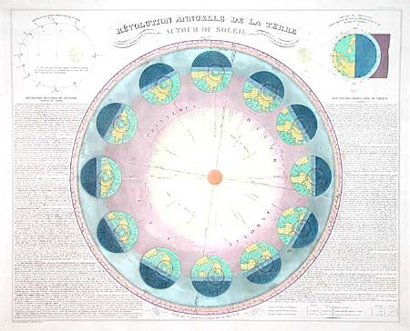
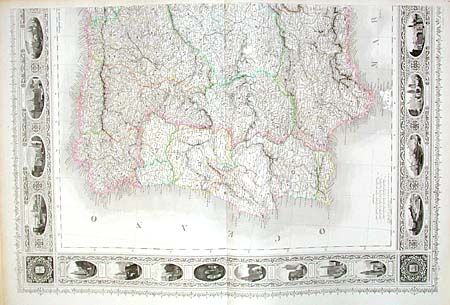
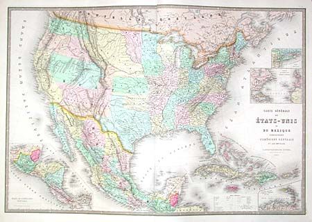
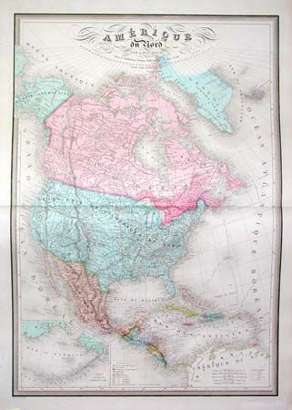
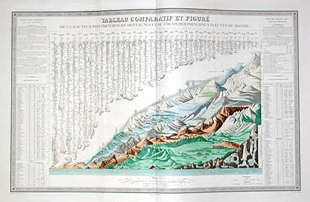
Complete and fine elephant folio atlas with 60 double and single-page maps and charts. Several maps are printed on two double-page sheets, including a double hemisphere world, Europe, Italy, Spain & Portugal, and France. The French sheets are actually larger still as they are on double and one-half sheets (47 x 27.5"). The large Spain & Portugal map is further embellished with engraved vignettes completely surrounding the maps. The United States features the Confederate Territory of Arizona. Absolutely beautifully engraved and colored maps with very fancy titling and large keyboard borders. The first few solar system plans are so wonderfully colored that they are reminiscent of Baxter prints. A most desirable atlas that is remarkable for its condition. RESERVE $3,000.
References:
Condition: A
Mottled marbled paper over boards with red leather spine and corners. Rubbing to spine with a little loss, particularly at top. Corner bumped, cover shaken, else very good to fine. A few short splits, not uncommon on atlas of this size.