Subject: Atlases
Period: 1678 (published)
Publication:
Color: Black & White
Size:
6 x 5 inches
15.2 x 12.7 cm
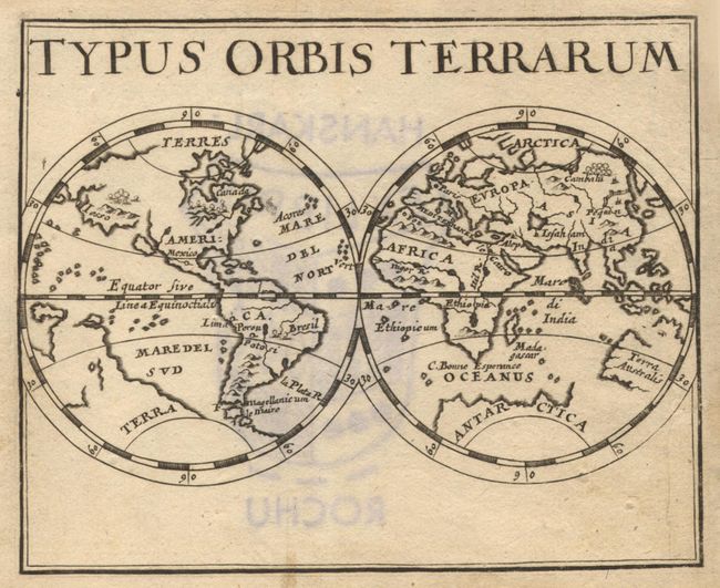
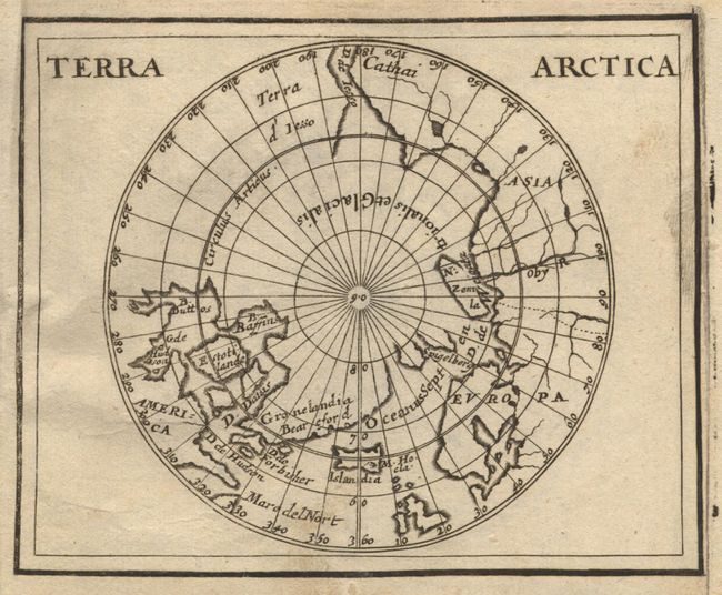
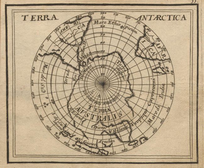
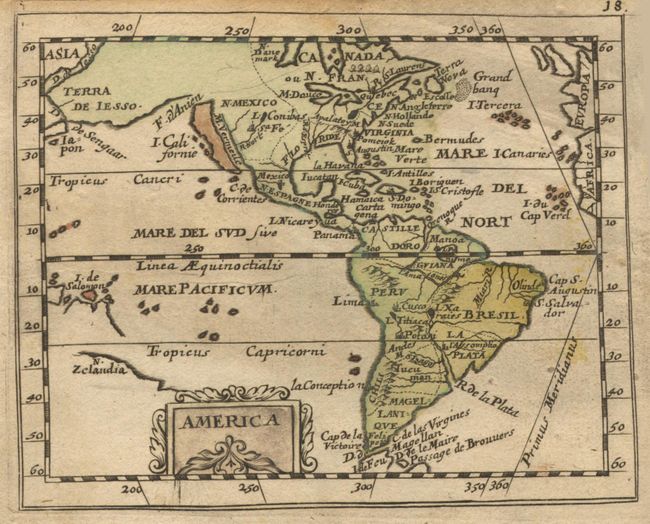
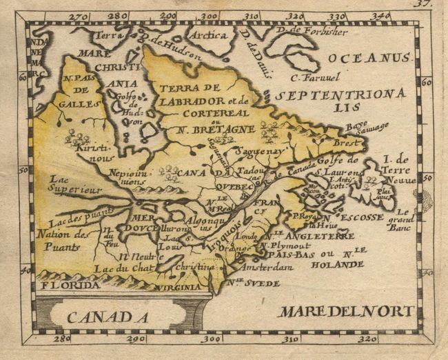
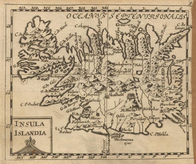
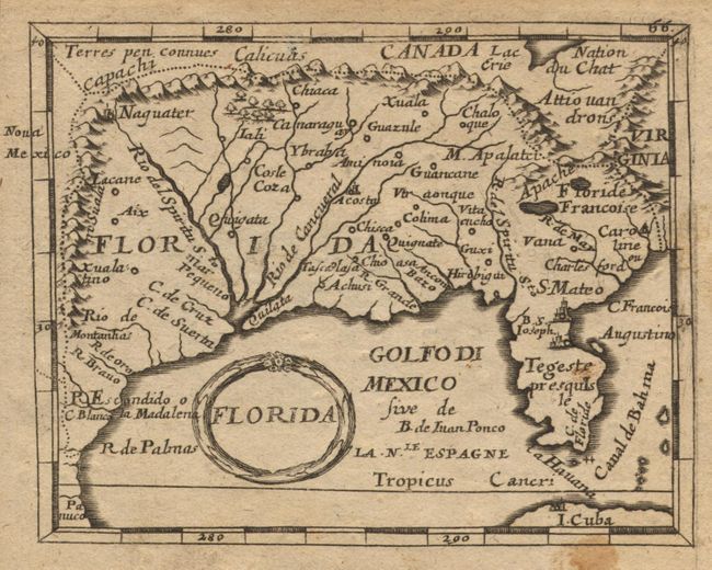
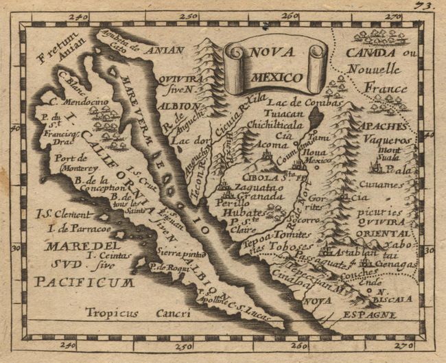
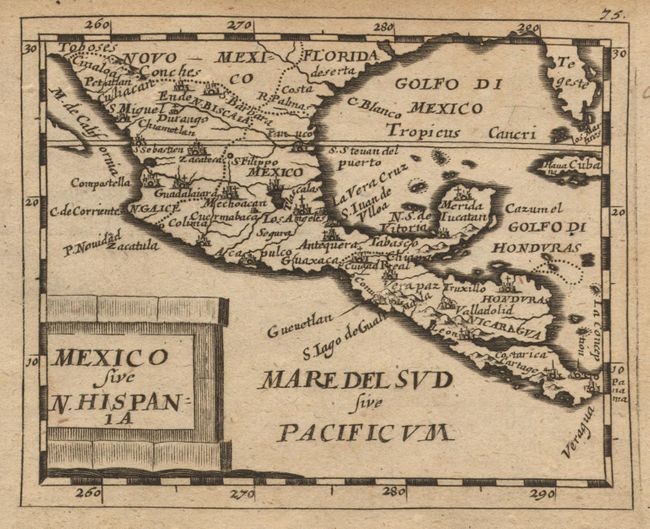
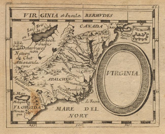
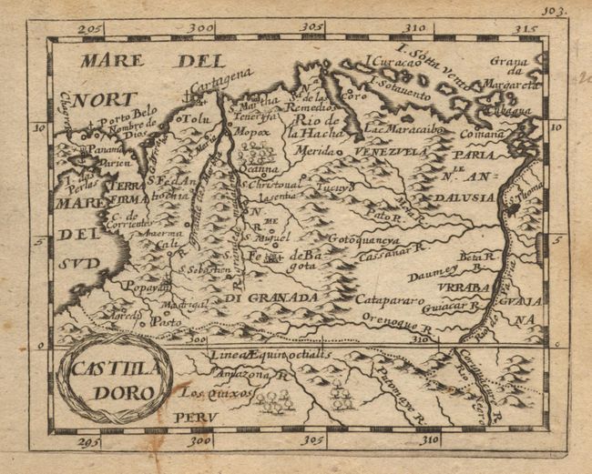
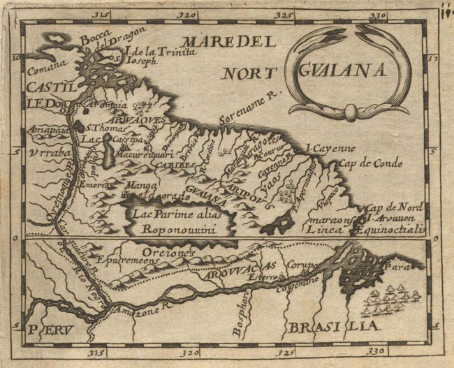
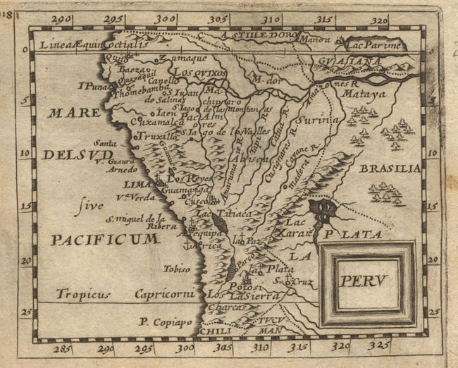
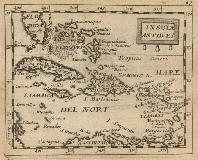
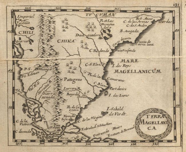
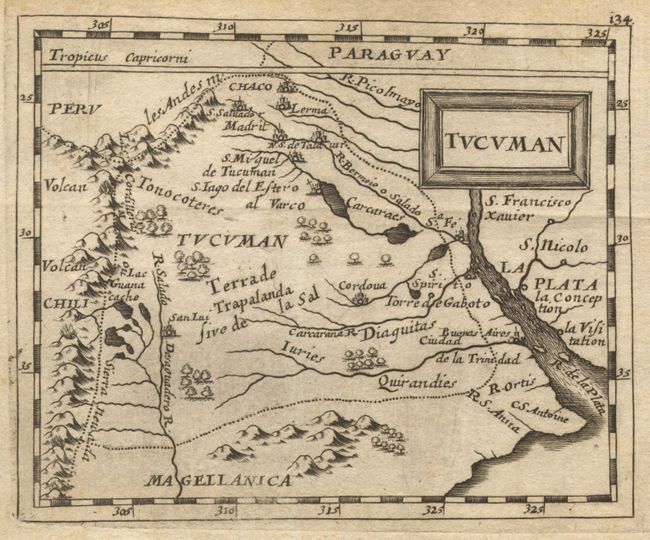
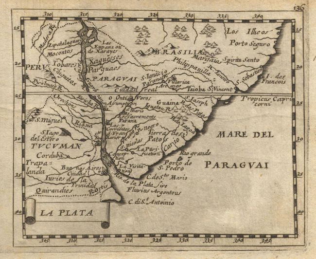
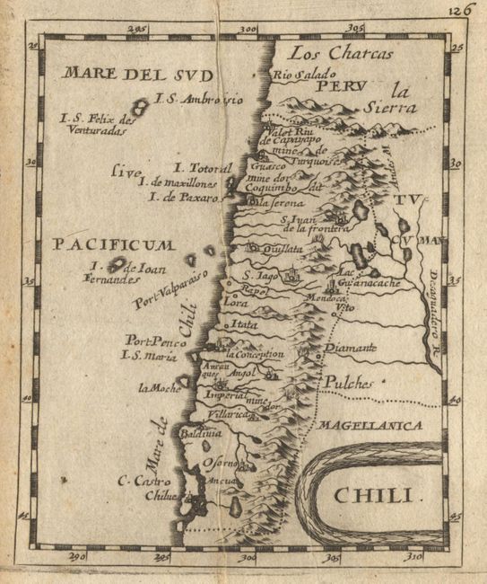
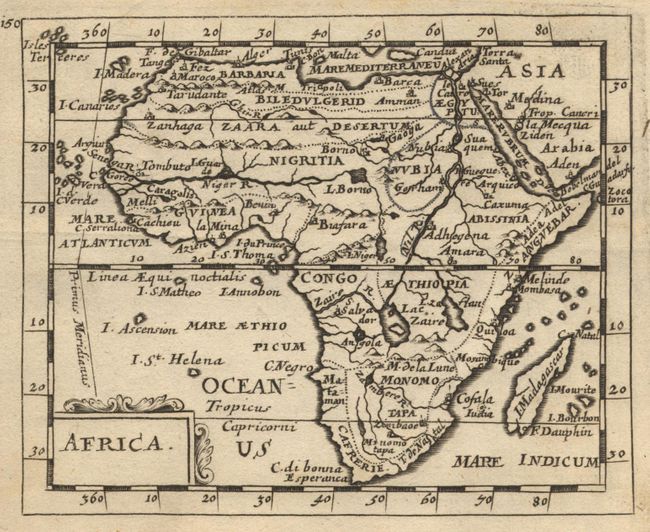
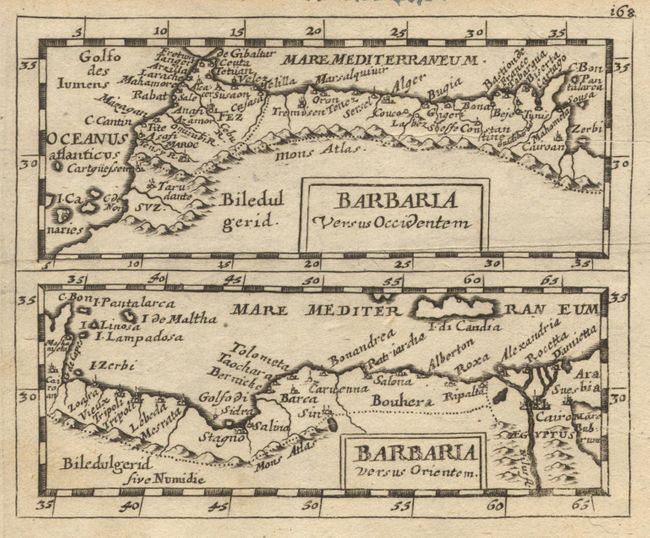
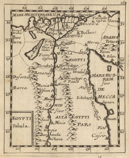
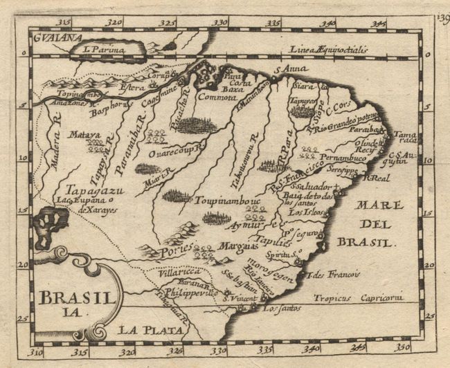
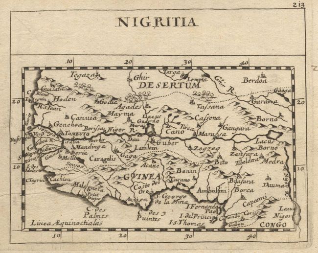
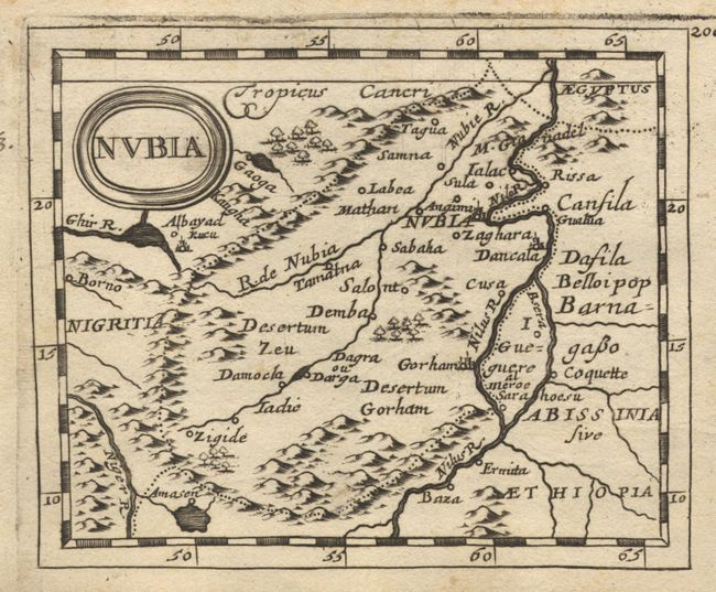
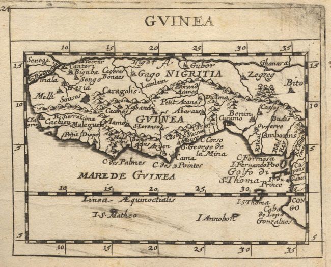
Terrific miniature atlas published by Johann Christoff Beer with 82 copper engraved maps and 8 pages of crests, two folding. Appears that all maps are present. Includes double hemisphere world (Shirley #478), all continents and scores of country and island charts. Several maps with California as an Island. Four America related maps are referenced by Burden: America (#350), Canada (#351), Florida (#352), and Nova Mexico (#353). Terrific individual maps of Antarctica, Iceland, Congo, Maldives, Ceylon, Japan, Sicily, and many more. Four maps in early, simple, hand coloring, likely by original owner. No title page or text pages; list of maps is in manuscript. Blank free end paper with ex libris stamp: Hanskarl Rochu. The majority of the maps have been pasted together so they appear to be printed both sides. This appears original, or at least very early to the atlas based on wear and soiling of joined foredges. Original vellum binding that is finely tooled. With two brass clasps in fine working condition. A few maps with old paper repairs to binding straps.
References:
Condition: A
Early and dark impressions. Some maps with a little soiling tending toward good, but most are very good. Binding is rubbed and soiled with worm track at lower spine. Nineteenth century owner's name on front end paper in ink.