Catalog Archive
Auction 102, Lot 439
"A New Map of Turkey in Asia, Divided into its Provinces", Cary, John
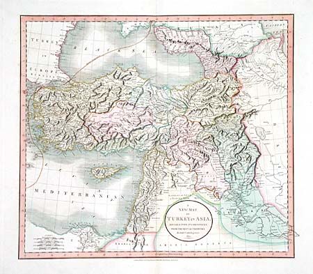
Subject: Near and Middle East
Period: 1811 (dated)
Publication: Cary's New Universal Atlas;…
Color: Hand Color
Size:
20.7 x 18.5 inches
52.6 x 47 cm
Download High Resolution Image
(or just click on image to launch the Zoom viewer)
(or just click on image to launch the Zoom viewer)