Catalog Archive
Auction 102, Lot 161
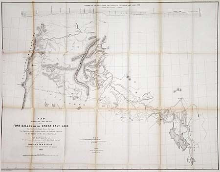
"Map Exhibiting the Routes between Fort Dalles and the Great Salt Lake. By Bvt. 2nd Lieut. Joseph Siscon Topl. Engrs…", U.S. Government
Subject: United States - Western
Period: 1859 (dated)
Publication: Sen. Doc. No. 1, 2nd Sess. 36th Congress
Color: Black & White
Size:
33.3 x 25.8 inches
84.6 x 65.5 cm
Download High Resolution Image
(or just click on image to launch the Zoom viewer)
(or just click on image to launch the Zoom viewer)