Catalog Archive
Auction 100, Lot 9

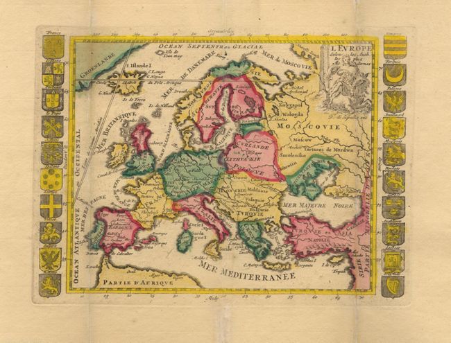
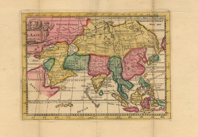
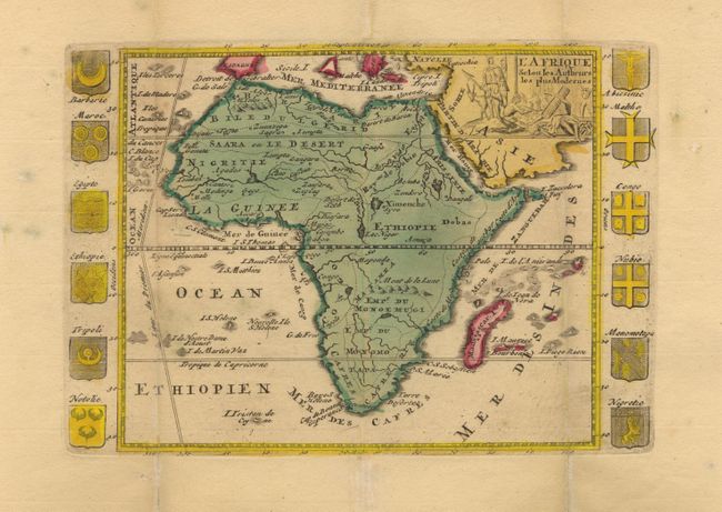
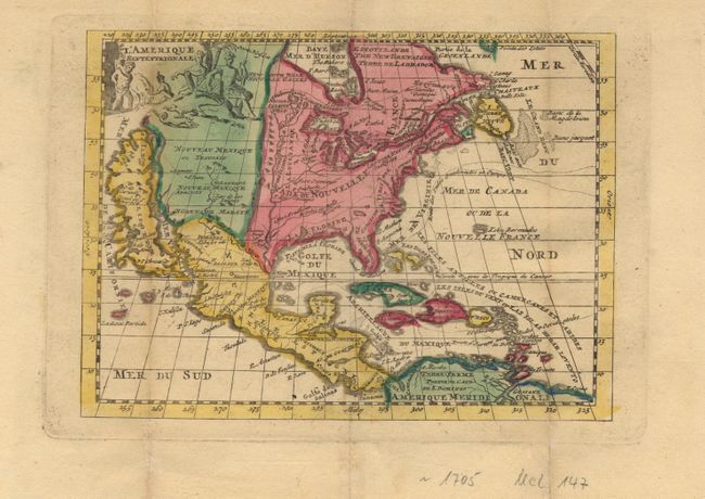
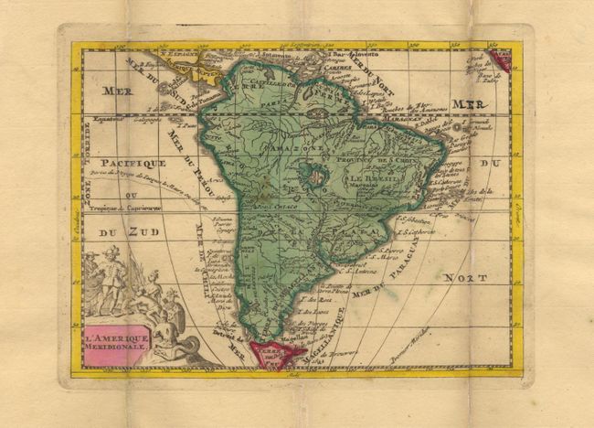
"[Lot of 6] MappeMonde Planisphere ou Carte Generale du Monde [and] L'Europe... [and] L'Asie [and] L'Afrique... [and] L'Amerique Septentrionale [and] L'Amerique Meridionale]", La Feuille, Daniel de

Subject: World and Continents

Period: 1705 (circa)

Publication:

Color: Hand Color

Size:
8.5 x 6 inches
21.6 x 15.2 cm
Download High Resolution Image
(or just click on image to launch the Zoom viewer)

Handsome set of small maps. The world map is presented as a simple double hemisphere showing the Island of California, partially mapped Australia and New Zealand and still a good bit of the southern continent labeled Terres Antarctiques. The map of North America also features California as an island, and a prominent Mississippi River with the Rio Bravo ou de Nort (Rio Grande) becoming its tributary just before emptying into the Gulf of Mexico. Panels of coats of arms flank both the Europe and Africa maps. All, except the world map, have pictorial (uncolored) title cartouches. Each map measures approximately 8.5 x 6".

References: America: McLaughlin #147.

Condition: B

Original color. Triple folds as issued with light toning and paper reinforcing/repairs along outside folds. A couple with very minor loss on folds in the blank margins only.

Estimate: $900 - $1,000

Sold for: $600

Closed on 9/12/2002

Archived