Subject: Cartographic Reference
Period: 2000 (published)
Publication: Barnes & Noble Books
Color:
Size:
10.8 x 12.5 inches
27.4 x 31.8 cm
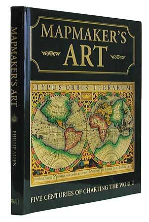
In more than 300 full-color illustrations, Mapmaker's Art reproduces some of the most stunning and important maps from five centuries of atlases, accompanied by insightful commentaries. These maps show history in the making, from the appearance of America and the Far East on maps and sea charts as a result of explorer's voyages, to 18th century maps showing tribal, not colonial boundaries. Here, too, are maps with wonderfully rendered details, such as 16th century city maps of London, Paris, and Rome, decorated with drawings of houses and characters; maps of North America with illustrations of Native Americans, and much, much more. 160 pages, hardcover with dustjacket.
References:
Condition: A
Edges bumped.