Catalog Archive
Auction 100, Lot 43
"Carte pour servir a l'Intelligence de l'Histoire, de la Chronologie… des empires des Assirens, des Peres, des Egiptiens, et des Chinois", Chatelain, Henry Abraham
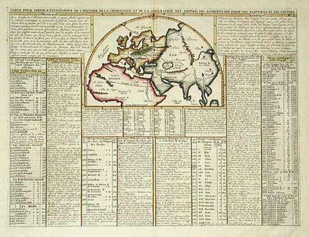
Subject: Ancient World
Period: 1719 (published)
Publication: Atlas Historique
Color: Hand Color
Size:
17.5 x 13 inches
44.5 x 33 cm
Download High Resolution Image
(or just click on image to launch the Zoom viewer)
(or just click on image to launch the Zoom viewer)