Catalog Archive
Auction 100, Lot 337
"Regni Galliae seu Franciae et Navarrae Tabula Geographica…", Homann Heirs
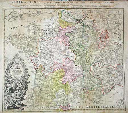
Subject: France
Period: 1741 (dated)
Publication:
Color: Hand Color
Size:
22.2 x 18.7 inches
56.4 x 47.5 cm
Download High Resolution Image
(or just click on image to launch the Zoom viewer)
(or just click on image to launch the Zoom viewer)