Showing Featured Lots(remove filter)
Filtered by Category:United States(Show All Categories)
Catalog Archive
18 lots
Auction 206, Lot 108
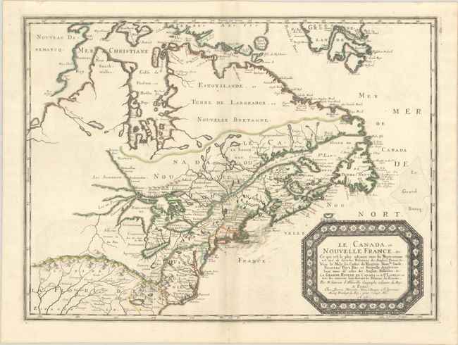
Subject: Colonial Eastern United States & Canada
Sanson/Mariette
Le Canada, ou Nouvelle France, &c. ce qui est le Plus Advance Vers le Septentrion est Tire de Diverses Relations des Anglois, Danois, &c..., 1656
Size: 21.4 x 15.9 inches (54.4 x 40.4 cm)
Estimate: $4,000 - $4,750
Keystone Map for Great Lakes Collections
Unsold
Closed on 11/12/2025
Auction 206, Lot 109
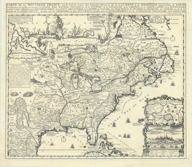
Subject: Colonial Eastern United States & Canada
Chatelain, Henry Abraham
Carte de la Nouvelle France, ou se Voit le Cours des Grandes Rivieres de S. Laurens & de Mississipi Aujour d'hui S. Louis, aux Environs des-quelles se Trouvent les Etats, Pais, Nations, Peuples, &c. de la Floride, de la Louisiane, de la Virginie..., 1719
Size: 19.3 x 16.7 inches (49 x 42.4 cm)
Estimate: $2,000 - $2,300
One of the Most Informative 18th Century Maps of the French Possessions in North America
Unsold
Closed on 11/12/2025
Auction 206, Lot 110
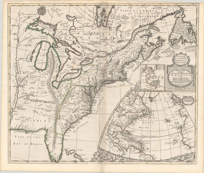
Subject: Colonial Eastern United States & Canada
Senex, John
A New Map of the English Empire in America viz Virginia Maryland Carolina Pennsylvania New York New Iarsey New England Newfoundland New France &c., 1719
Size: 22.9 x 19.6 inches (58.2 x 49.8 cm)
Estimate: $2,400 - $3,000
Senex's Important Map of the American Colonies
Unsold
Closed on 11/12/2025
Auction 206, Lot 111
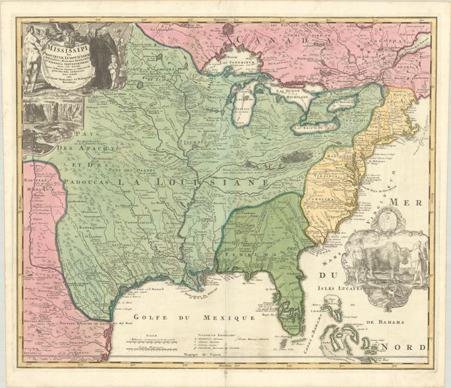
Subject: Colonial Eastern United States & Canada
Homann, Johann Baptist
Amplissimae Regionis Mississipi seu Provinciae Ludovicianae a R.P. Ludovico Hennepin Francisc Miss. in America Septentrionali Anno 1687..., 1720
Size: 22.8 x 19.2 inches (57.9 x 48.8 cm)
Estimate: $2,200 - $2,500
Striking Map of Colonial America with Bison Vignette
Sold for: $2,500
Closed on 11/12/2025
Auction 206, Lot 115
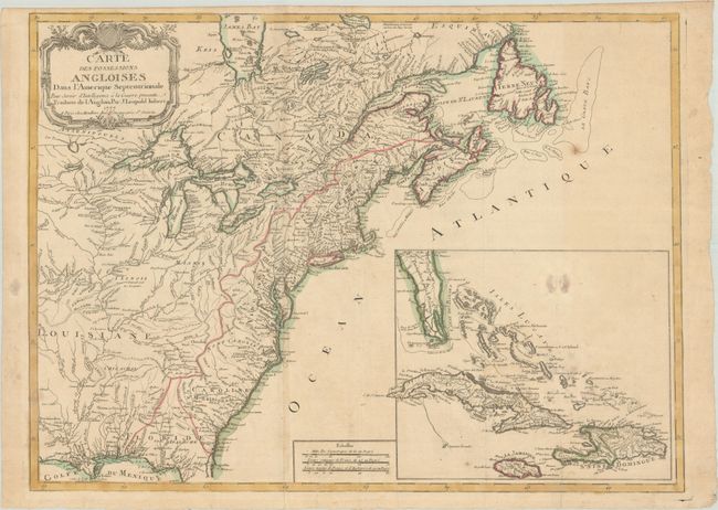
Subject: Colonial Eastern United States & Canada
Imbert, J. Leopold
Carte des Possessions Angloises dans l'Amerique Septentrionale pour Servir d'Intelligence a la Guerre Presente Traduite de l'Anglois, 1777
Size: 29 x 21.3 inches (73.7 x 54.1 cm)
Estimate: $1,800 - $2,200
First Edition of Important Revolutionary War Map
Unsold
Closed on 11/12/2025
Auction 206, Lot 116
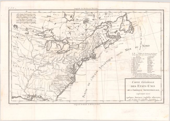
Subject: Eastern United States & Canada, Franklin
Crevecoeur, Michel Guillaume De
Carte Generale des Etats-Unis de l'Amerique Septentrionale, Renfermant Aussi Quelques Provinces Angloises Adjacentes, pour les Lettres d'un Cultivateur Ameriquain, 1787
Size: 16.9 x 10.3 inches (42.9 x 26.2 cm)
Estimate: $750 - $900
One of the Earliest Maps to Name Franklinia
Sold for: $475
Closed on 11/12/2025
Auction 206, Lot 121
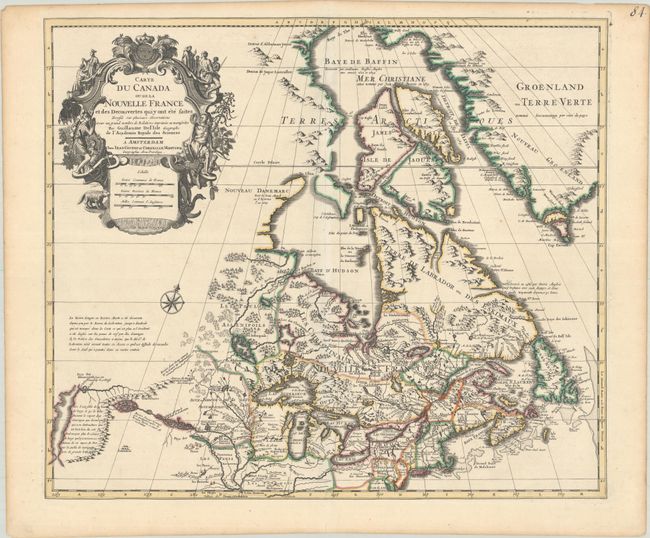
Subject: Colonial Northeastern United States & Canada
Delisle/Covens & Mortier
Carte du Canada ou de la Nouvelle France et des Decouvertes qui y ont ete Faites Dressee sur Plusieurs Observations et sur un Grand Nombre de Relations Imprimees ou Manuscrites, 1730
Size: 22.4 x 19.3 inches (56.9 x 49 cm)
Estimate: $1,200 - $1,500
One of the Most Influential Maps of Canada, Great Lakes & Upper Midwest
Sold for: $600
Closed on 11/12/2025
Auction 206, Lot 126
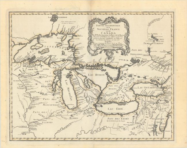
Subject: Colonial Great Lakes
Bellin/Homann Heirs
Partie Occidentale de la Nouvelle France ou du Canada, 1755
Size: 21.3 x 16.8 inches (54.1 x 42.7 cm)
Estimate: $1,500 - $1,800
Influential Map of the Great Lakes
Sold for: $1,000
Closed on 11/12/2025
Auction 206, Lot 144
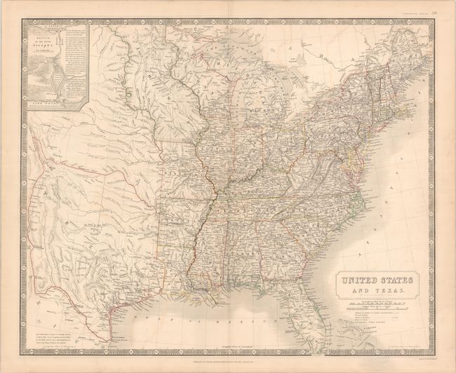
Subject: Eastern United States, Texas
Johnston, W. & A.K.
United States and Texas, 1842
Size: 24.3 x 19.8 inches (61.7 x 50.3 cm)
Estimate: $1,200 - $1,500
Scottish Atlas Map Featuring the Independent Republic of Texas
Sold for: $950
Closed on 11/12/2025
Auction 206, Lot 147
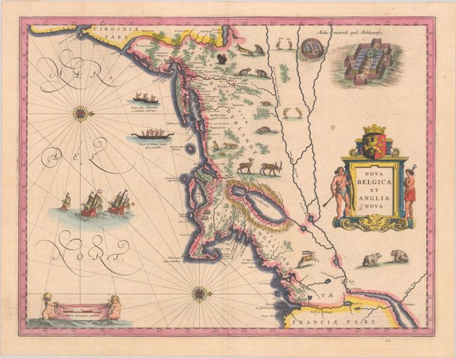
Subject: Colonial New England & Mid-Atlantic United States
Blaeu, (Family)
Nova Belgica et Anglia Nova, 1638
Size: 19.9 x 15.3 inches (50.5 x 38.9 cm)
Estimate: $1,500 - $1,800
Important Map of Colonial New England and the Mid-Atlantic
Unsold
Closed on 11/12/2025
Auction 206, Lot 151
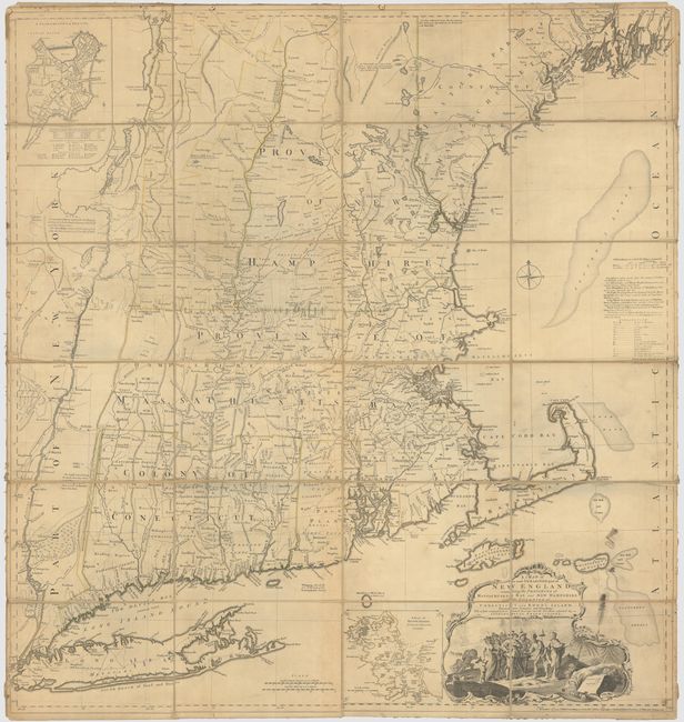
Subject: Colonial New England United States
Jefferys, Thomas
A Map of the Most Inhabited Part of New England, Containing the Provinces of Massachusets Bay and New Hampshire, with the Colonies of Conecticut and Rhode Island, Divided into Counties and Townships..., 1774
Size: 39.3 x 41.4 inches (99.8 x 105.2 cm)
Estimate: $3,000 - $3,750
Jefferys' Influential Map of New England in Contemporary Outline Color
Sold for: $2,000
Closed on 11/12/2025
Auction 206, Lot 156
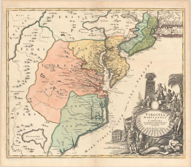
Subject: Colonial Mid-Atlantic United States
Homann, Johann Baptist
Virginia Marylandia et Carolina in America Septentrionali Britannorum Industria Excultae, 1720
Size: 23 x 19.4 inches (58.4 x 49.3 cm)
Estimate: $1,500 - $1,800
Map Created to Promote German Immigration to the New World
Sold for: $1,000
Closed on 11/12/2025
Auction 206, Lot 160
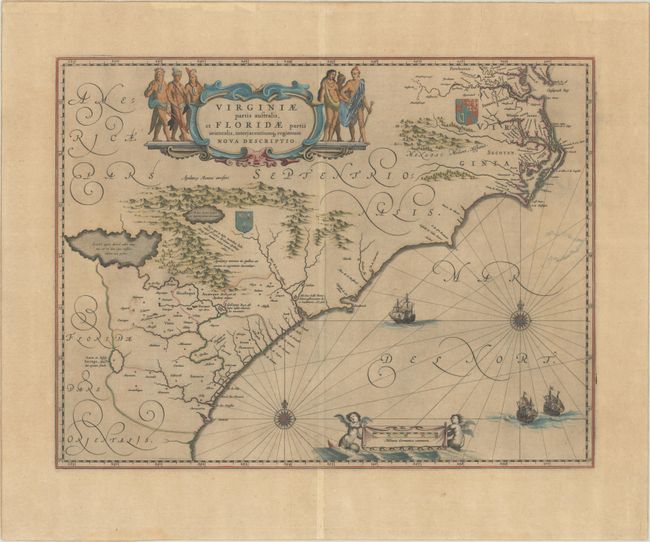
Subject: Colonial Southeastern United States
Blaeu, Willem
Virginiae Partis Australis, et Floridae Partis Orientalis, Interjacentiumq Regionum Nova Descriptio, 1642
Size: 20 x 15.3 inches (50.8 x 38.9 cm)
Estimate: $1,000 - $1,300
Blaeu's Decorative Map of the Southeast
Sold for: $750
Closed on 11/12/2025
Auction 206, Lot 232
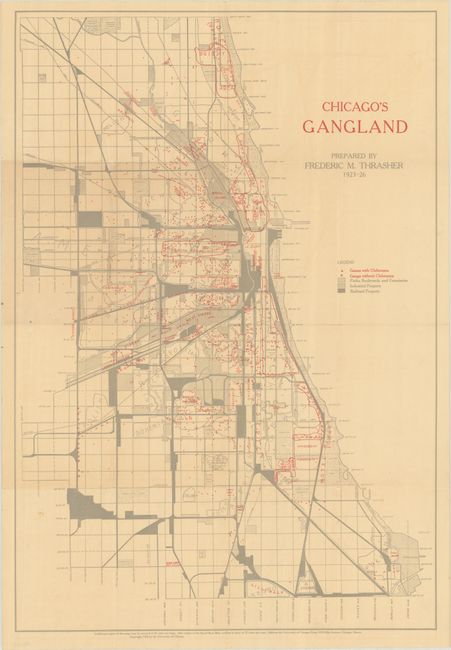
Subject: Chicago, Illinois
[Map with Book] Chicago's Gangland [with] The Gang: A Study of 1,313 Gangs in Chicago, 1926
Size: 17.6 x 25.8 inches (44.7 x 65.5 cm)
Estimate: $1,400 - $1,700
Mapping Organized Crime in 1920s Chicago
Sold for: $1,000
Closed on 11/12/2025
Auction 206, Lot 236
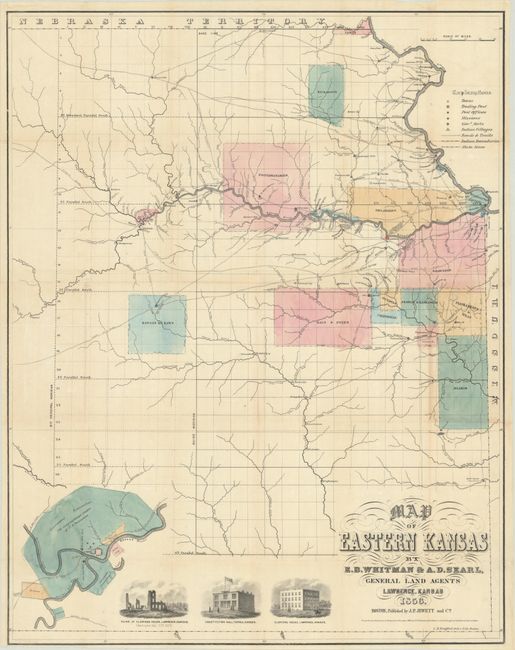
Subject: Eastern Kansas
Jewett & Co., J. P.
Map of Eastern Kansas, 1856
Size: 21.1 x 26.8 inches (53.6 x 68.1 cm)
Estimate: $1,400 - $1,700
Early Map of "Bleeding Kansas"
Unsold
Closed on 11/12/2025
Auction 206, Lot 237
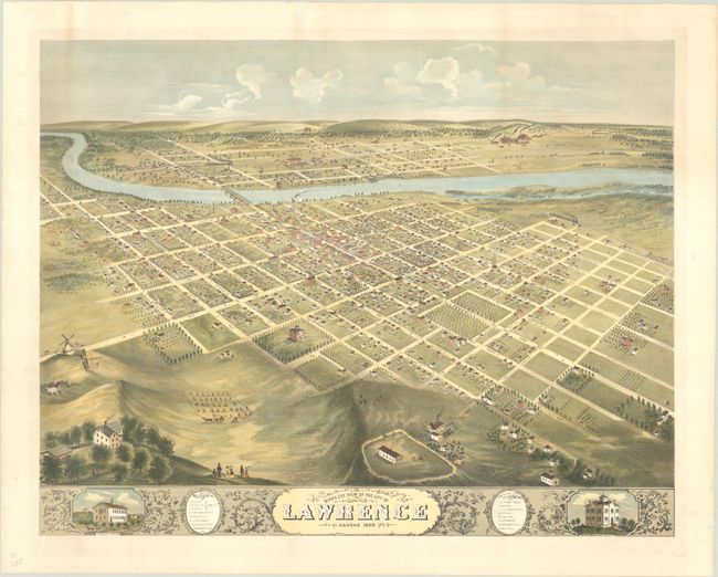
Subject: Lawrence, Kansas
Bird's Eye View of the City of Lawrence Kansas 1869, 1880
Size: 26.6 x 20.8 inches (67.6 x 52.8 cm)
Estimate: $2,000 - $2,500
Rare and Striking Bird's-Eye View of Lawrence
Sold for: $1,000
Closed on 11/12/2025
Auction 206, Lot 270
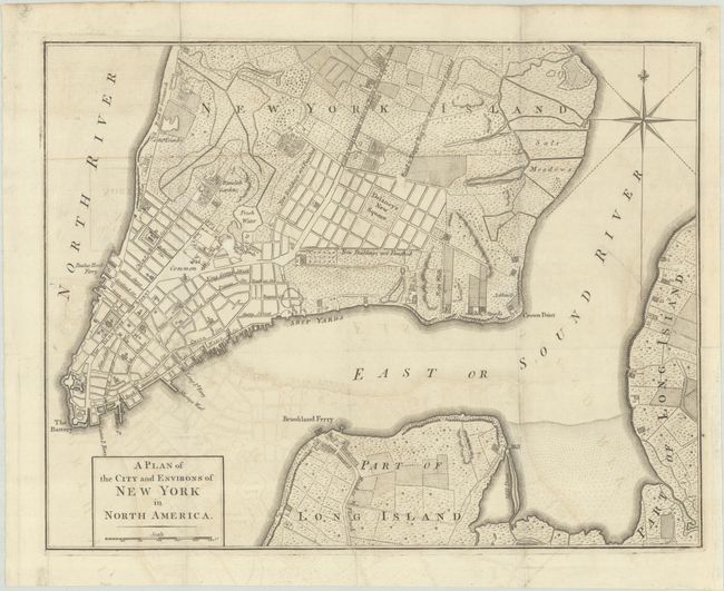
Subject: New York City, New York, Revolutionary War
Anon.
A Plan of the City and Environs of New York in North America, 1776
Size: 14.6 x 11.3 inches (37.1 x 28.7 cm)
Estimate: $1,800 - $2,200
Revolutionary War-Era Plan of New York City
Sold for: $1,300
Closed on 11/12/2025
Auction 206, Lot 276
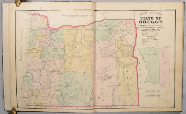
Subject: Oregon, Atlases
Historical Atlas Map of Marion & Linn Counties Oregon..., 1878
Size: 14.5 x 17.6 inches (36.8 x 44.7 cm)
Estimate: $1,400 - $1,700
The First County Atlas for Oregon
Sold for: $800
Closed on 11/12/2025
18 lots


