Filtered by Category:Books, Atlases, Travel Guides, Geography & Reference Books(Show All Categories)
Catalog Archive
52 lots
Page 1 of 2
Auction 206, Lot 39
Subject: Ancient World
Macrobius, Ambrosius Aurelius Theodo
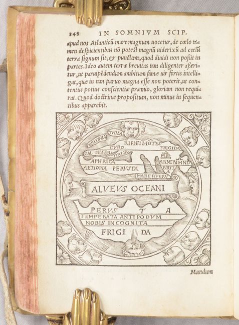
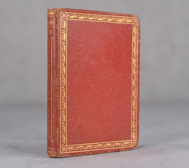
[Macrobii Ambrosii Aurelii Theodosii, Viri Consularis, & Illustris, in Somnium Scipionis, Lib. II. Saturnaliorum, Lib. VII…], 1532
Size: 4.5 x 6.5 inches (11.4 x 16.5 cm)
Estimate: $1,000 - $1,300
Macrobius' Miniature Ancient World Map
Sold for: $600
Closed on 11/12/2025
Auction 206, Lot 70
Subject: Western Hemisphere - America
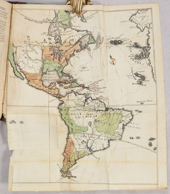
[3 Volumes with 3 Manuscript Maps] Recherches Philosophiques sur les Americains, ou Memoires Interessants pour Servir a l'Histoire de l'Espece Humaine, 1770-71
Size: 4.1 x 7.3 inches (10.4 x 18.5 cm)
Estimate: $700 - $850
Sold for: $500
Closed on 11/12/2025
Auction 206, Lot 117
Subject: Eastern United States & Canada
Sotzmann, Daniel Friedrich
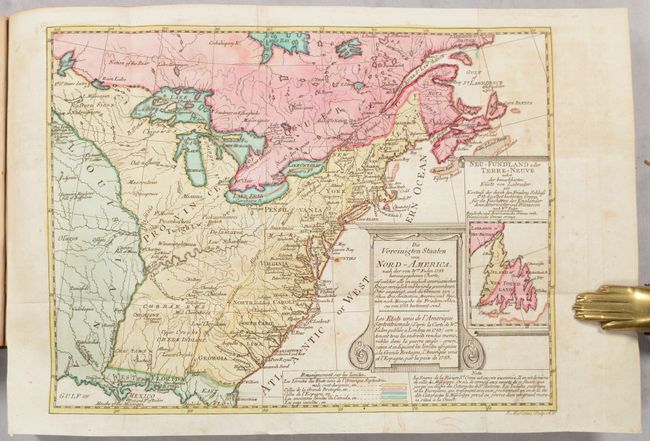
[Map in Book] Die Vereinigten Staaten von Nord-America... / Les Etats Unis de l'Amerique Septentrionale... [in] Geschichte der Revolution von Nord-America..., 1788
Size: 10.1 x 7.7 inches (25.7 x 19.6 cm)
Estimate: $700 - $850
Rare, Multi-Lingual Reduced Version of Faden's Map of 1783
Unsold
Closed on 11/12/2025
Auction 206, Lot 119
Subject: Eastern United States & Canada
Rochefoucald Liancourt, Francois Alexander
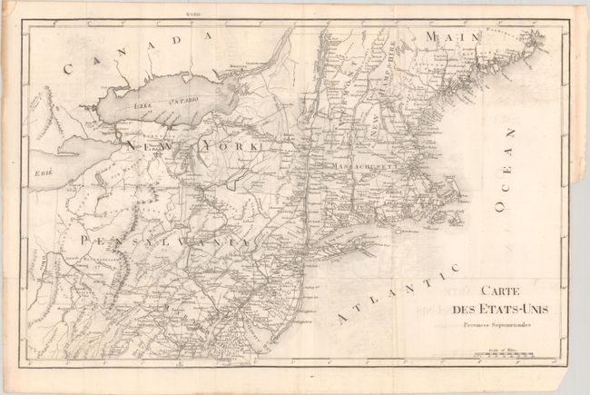
[8 Volumes] Voyage dans les Etats-Unis d'Amerique, Fait en 1795, 1796 et 1797, 1799
Size: 5 x 8.2 inches (12.7 x 20.8 cm)
Estimate: $1,200 - $1,500
Unsold
Closed on 11/12/2025
Auction 206, Lot 134
Subject: United States
[Untitled Map with Book] Automobile Tours Pocket Edition Covering Approximately 50,000 Miles and Over 5,000 Towns in the U.S. , 1924
Size: 10.6 x 7.1 inches (26.9 x 18 cm)
Estimate: $150 - $180
Early and Rare Automobile Tour Guide with Map
Sold for: $700
Closed on 11/12/2025
Auction 206, Lot 185
Subject: Western United States
U.S. Geological Survey (USGS)
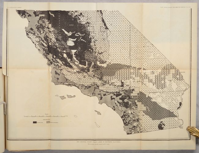
First Annual Report of the Reclamation Service from June 17 to December 1, 1902, 1903
Size: 6 x 9.4 inches (15.2 x 23.9 cm)
Estimate: $140 - $170
Sold for: $85
Closed on 11/12/2025
Auction 206, Lot 204
Subject: Napa, California
U.S.D.A.
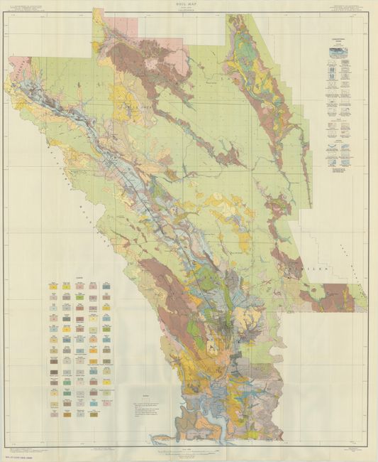
[Map with Report] Soil Map Napa Area California [with] Soil Survey of the Napa Area, California, 1938
Size: 32.3 x 38.6 inches (82 x 98 cm)
Estimate: $180 - $220
Sold for: $100
Closed on 11/12/2025
Auction 206, Lot 256
Subject: New Jersey
Beers, Comstock & Cline
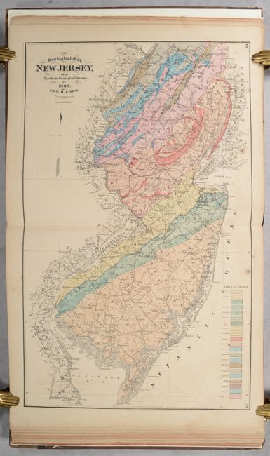
State Atlas of New Jersey Based on State Geological Survey and from Additional Surveys , 1872
Size: 13.2 x 15.9 inches (33.5 x 40.4 cm)
Estimate: $800 - $950
Sold for: $600
Closed on 11/12/2025
Auction 206, Lot 276
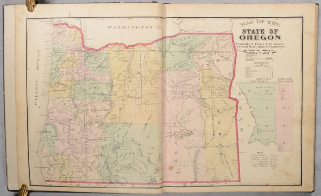
Subject: Oregon, Atlases
Historical Atlas Map of Marion & Linn Counties Oregon..., 1878
Size: 14.5 x 17.6 inches (36.8 x 44.7 cm)
Estimate: $1,400 - $1,700
The First County Atlas for Oregon
Sold for: $800
Closed on 11/12/2025
Auction 206, Lot 283
Subject: Texas & Louisana
U.S. Geological Survey (USGS)
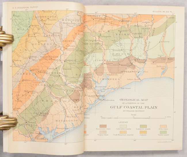
[Two Maps in Report] Geological Map of a Portion of the Gulf Coastal Plain [and] Spindletop Oil Pool Beaumont District, Texas... [in] Oil Fields of the Texas-Louisiana Gulf Coastal Plain, 1903
Size: 5.6 x 9 inches (14.2 x 22.9 cm)
Estimate: $160 - $190
Very Early Government Map and Report on Spindletop
Sold for: $200
Closed on 11/12/2025
Auction 206, Lot 298
Subject: Yellowstone National Park, Wyoming
Hals & Rydstrom
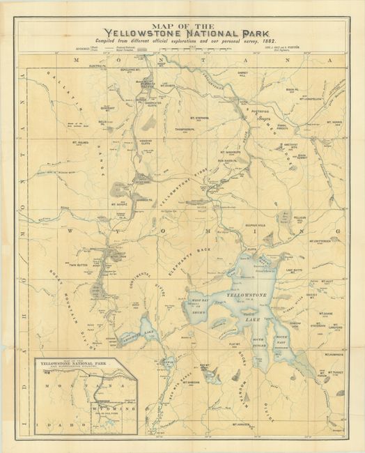
[Map with Book] Map of the Yellowstone National Park... [with] Official Guide to Yellowstone National Park..., 1889
Size: 19.1 x 24 inches (48.5 x 61 cm)
Estimate: $240 - $300
Sold for: $275
Closed on 11/12/2025
Auction 206, Lot 406
Subject: Oxford, England
Plot, Robert
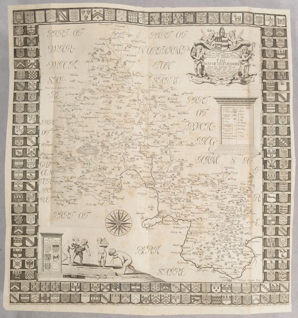
[Map in Book] To the Right Reverend Father in God Iohn by Divine Permission Ld. Bishop of Oxon the Map of Oxfordshire... [in] The Natural History of Oxford-Shire, Being an Essay Towards the Natural History of England, 1705
Size: 19.1 x 20 inches (48.5 x 50.8 cm)
Estimate: $700 - $850
Sold for: $800
Closed on 11/12/2025
Auction 206, Lot 461
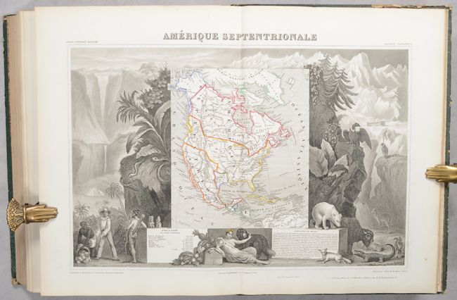
Subject: France, Atlas
Levasseur, Victor
Atlas National Illustre des 86 Departements et des Possessions de la France..., 1854
Size: 10.9 x 14.6 inches (27.7 x 37.1 cm)
Estimate: $700 - $850
Sold for: $500
Closed on 11/12/2025
Auction 206, Lot 709
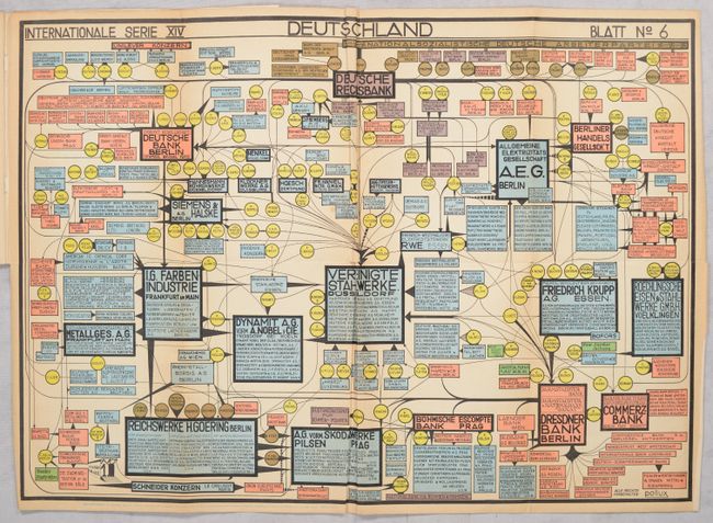
Subject: Document - Germany
Internationale Serie XIV - Deutschland - Blatt No. 6 [in] Qui Gouvernait l'Allemagne? - Les Veritables Criminels de Guerre: 50 Potentats Derriere les Coulisses, 1945
Size: 22.4 x 15.9 inches (56.9 x 40.4 cm)
Estimate: $800 - $1,000
Anti-Nazi Propaganda Outing Sponsors of the German Third Reich
Sold for: $500
Closed on 11/12/2025
Auction 206, Lot 710
Subject: Atlases
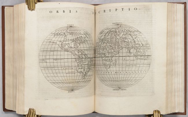
Ptolemy/Ruscelli
La Geografia di Claudio Tolomeo Alessandrino..., 1574
Size: 6.6 x 9.3 inches (16.8 x 23.6 cm)
Estimate: $9,500 - $11,000
Ruscelli's Complete, Third Edition Atlas with 65 Maps
Sold for: $7,000
Closed on 11/12/2025
Auction 206, Lot 711
Subject: Atlases
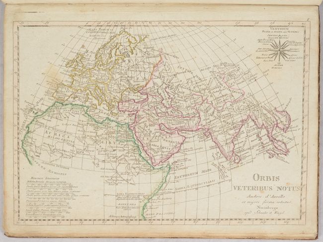
Anville, Jean Baptiste Bourguignon d'
Atlas Antiquus Danvillianus Minor. Conspectus Tabularum Geographicum..., 1800
Size: 10.3 x 14 inches (26.2 x 35.6 cm)
Estimate: $275 - $350
Sold for: $210
Closed on 11/12/2025
Auction 206, Lot 712
Subject: Atlases
Wilkinson, Robert
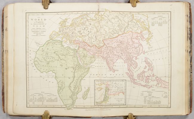
Atlas Classica Being a Collection of Maps of the Countries Mentioned by the Ancient Authors, Both Sacred and Profane..., 1801
Size: 11 x 13.5 inches (27.9 x 34.3 cm)
Estimate: $475 - $600
Sold for: $350
Closed on 11/12/2025
Auction 206, Lot 713
Subject: Atlases
Bradford, Thomas Gamaliel
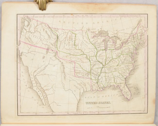
Atlas Designed to Illustrate the Abridgement of Universal Geography Modern & Ancient..., 1835
Size: 9.6 x 11.8 inches (24.4 x 30 cm)
Estimate: $1,000 - $1,300
Thomas Bradford's First Atlas
Sold for: $750
Closed on 11/12/2025
Auction 206, Lot 714
Subject: Atlases
Johnson & Ward
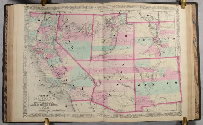
Johnson's New Illustrated (Steel Plate) Family Atlas, with Physical Geography, and with Descriptions Geographical, Statistical, and Historical..., 1863
Size: 14.9 x 18.6 inches (37.8 x 47.2 cm)
Estimate: $1,000 - $1,300
Complete with Several Civil War Edition Maps
Sold for: $750
Closed on 11/12/2025
Auction 206, Lot 715
Subject: Atlases
Andriveau-Goujon, E.
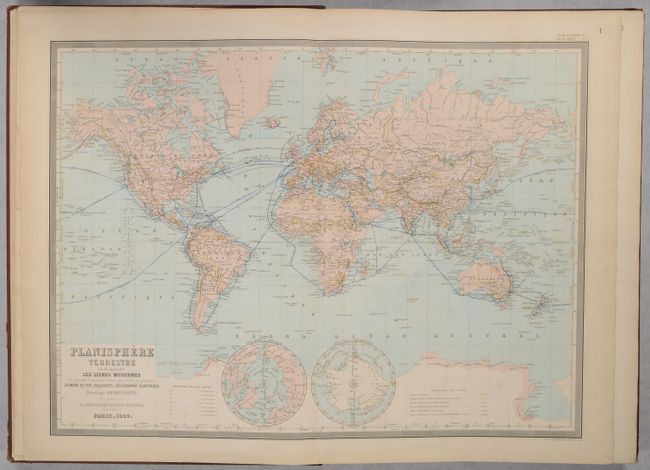
Atlas Usuel de Geographie Moderne, 1868
Size: 14.8 x 21.4 inches (37.6 x 54.4 cm)
Estimate: $375 - $450
Unsold
Closed on 11/12/2025
Auction 206, Lot 716
Subject: Atlases
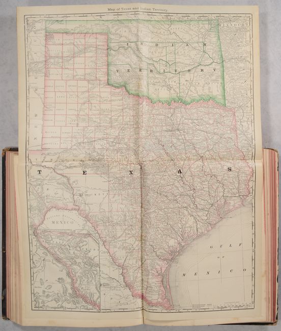
Hardesty, Hiram H.
Historical Hand-Atlas Illustrated Containing Large Scale Copper Plate Maps of Each State and Territory of the United States, and the Provinces of Canada..., 1882
Size: 11.3 x 15 inches (28.7 x 38.1 cm)
Estimate: $400 - $475
Features Large Folding Maps of Texas, California and New York
Sold for: $300
Closed on 11/12/2025
Auction 206, Lot 717
Subject: School Atlases
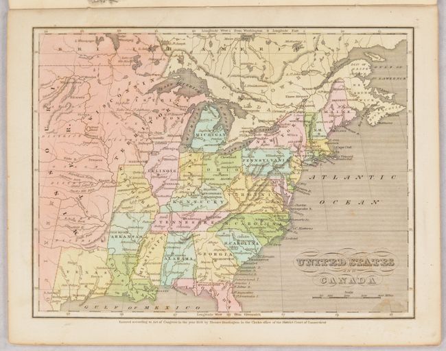
Huntington, Eleazor
The Common School Atlas, Drawn and Engraved on Steel, to Illustrate and Accompany the Introduction to Modern Geography, 1836
Size: 8.1 x 10.3 inches (20.6 x 26.2 cm)
Estimate: $200 - $230
Sold for: $150
Closed on 11/12/2025
Auction 206, Lot 718
Subject: Geography Books
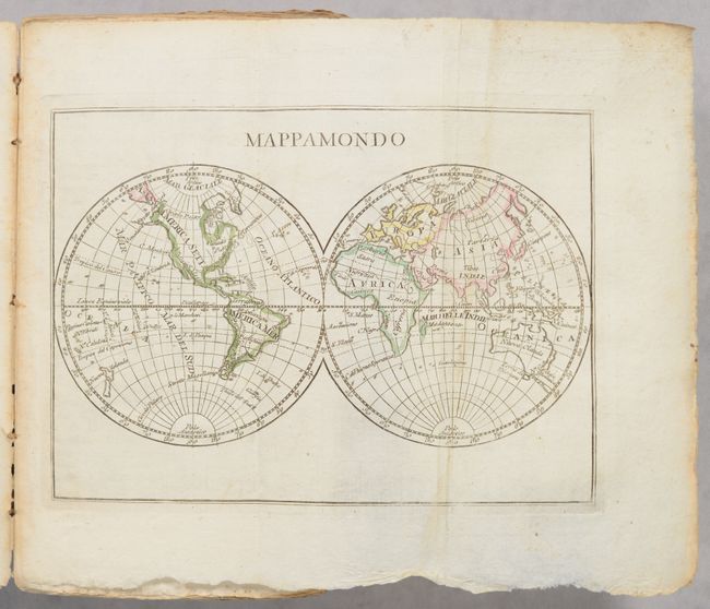
Buffier, Claude
Geografia Universale del P. Buffier..., 1822
Size: 4.3 x 7.5 inches (10.9 x 19.1 cm)
Estimate: $275 - $350
Sold for: $200
Closed on 11/12/2025
Auction 206, Lot 719
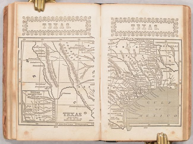
Subject: Miscellaneous Books
Beadle, D. W.
The American Lawyer, and Business-Man's Form-Book; Containing Forms and Instructions..., 1852
Size: 5 x 7.8 inches (12.7 x 19.8 cm)
Estimate: $110 - $140
Unsold
Closed on 11/12/2025
Auction 206, Lot 720
Subject: Miscellaneous Books, US Politics
Caxton Company
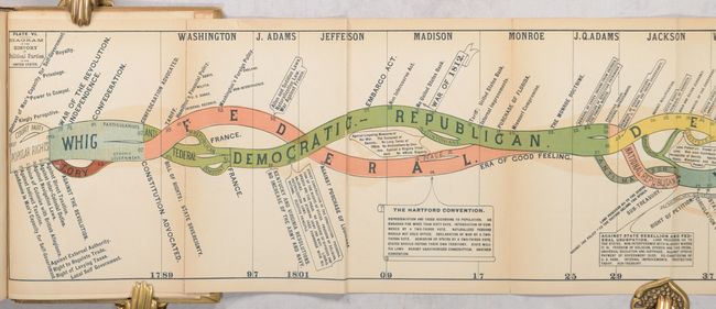
History of American Politics. (Non-Partisan.) Embracing a History of the Federal Government and of Political Partis in the Colonies and United States from 1607 to the Present, 1884
Size: 6 x 9.4 inches (15.2 x 23.9 cm)
Estimate: $400 - $500
Sold for: $475
Closed on 11/12/2025
Auction 206, Lot 721
Subject: Miscellaneous Books
U.S. Geological Survey (USGS)
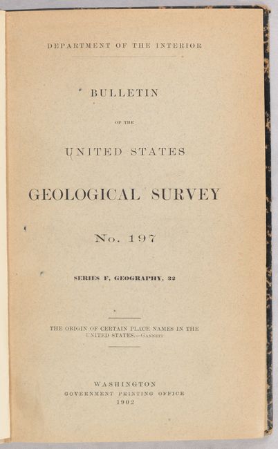
The Origin of Certain Place Names in the United States, 1902
Size: 5.9 x 9.3 inches (15 x 23.6 cm)
Estimate: $110 - $140
Sold for: $110
Closed on 11/12/2025
Auction 206, Lot 722
Subject: References
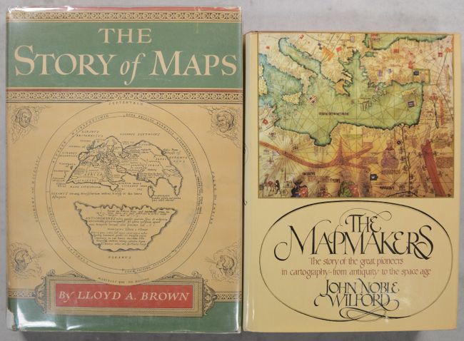
[Lot of 2] The Story of Maps [and] The Mapmakers, 1949-81
Size: See Description
Estimate: $50 - $65
NO RESERVE
Sold for: $37
Closed on 11/12/2025
Auction 206, Lot 723
Subject: References
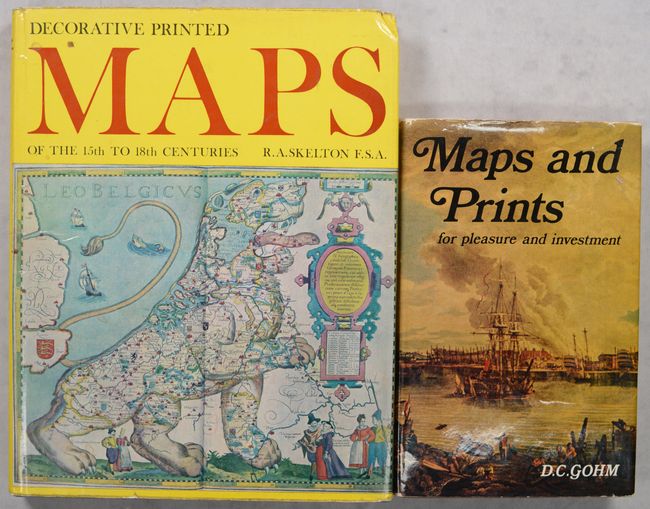
[Lot of 2] Decorative Printed Maps of the 15th to 18th Centuries [and] Maps and Prints for Pleasure and Investment, 1965-69
Size: See Description
Estimate: $40 - $55
NO RESERVE
Sold for: $11
Closed on 11/12/2025
Auction 206, Lot 724
Subject: References
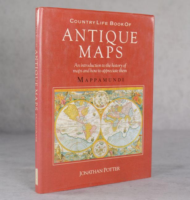
Potter, Jonathan
Country Life Book of Antique Maps - An Introduction to the History of Maps and How to Appreciate Them, 1989
Size: 8.9 x 12 inches (22.6 x 30.5 cm)
Estimate: $20 - $30
NO RESERVE
Sold for: $33
Closed on 11/12/2025
Auction 206, Lot 725
Subject: References
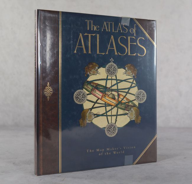
Allen, Phillip
The Atlas of Atlases - The Map Maker's Vision of the World - Atlases from the Cadbury Collection, Birmingham Central Library, 1992
Size: 10.8 x 12.4 inches (27.4 x 31.5 cm)
Estimate: $25 - $35
NO RESERVE
Sold for: $70
Closed on 11/12/2025
Auction 206, Lot 726
Subject: References
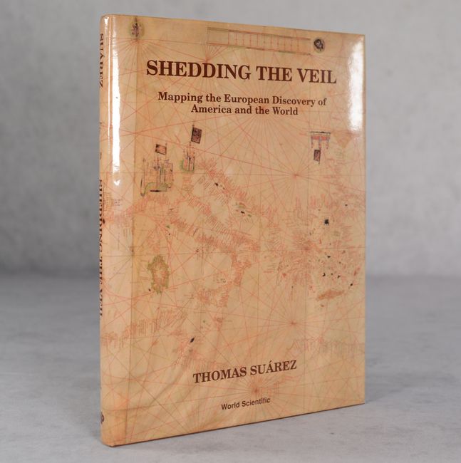
Suarez, Thomas
Shedding the Veil - Mapping the European Discovery of America and the World, 1992
Size: 8.8 x 11.9 inches (22.4 x 30.2 cm)
Estimate: $50 - $70
NO RESERVE
Sold for: $21
Closed on 11/12/2025
Auction 206, Lot 727
Subject: References
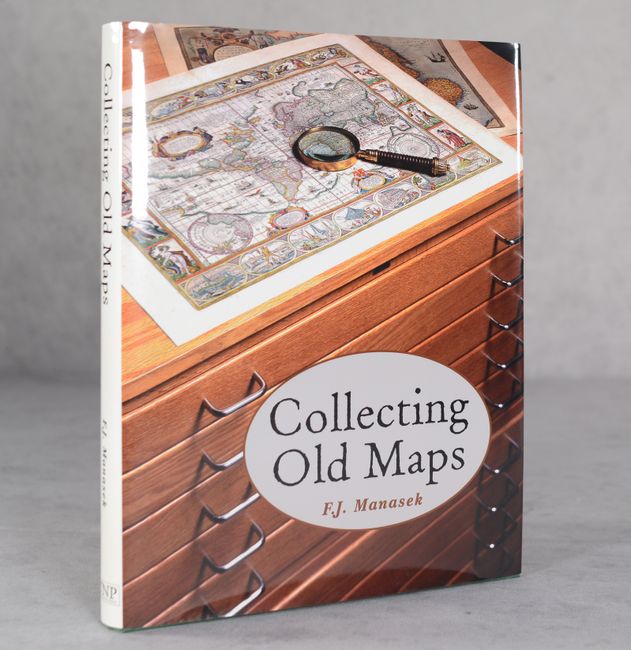
Manasek, F.J.
Collecting Old Maps, 1998
Size: 8.8 x 11.3 inches (22.4 x 28.7 cm)
Estimate: $80 - $100
NO RESERVE
Sold for: $60
Closed on 11/12/2025
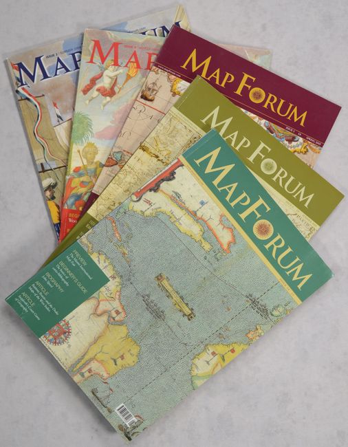
Auction 206, Lot 728
Subject: References, Magazines
Baynton-Williams, Ashley
[Lot of 5] Map Forum, 2004-05
Size: 8.3 x 11.8 inches (21.1 x 30 cm)
Estimate: $50 - $70
NO RESERVE
Sold for: $28
Closed on 11/12/2025
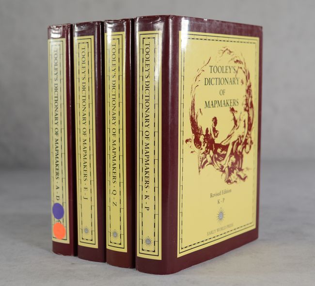
Auction 206, Lot 729
Subject: References, Mapmakers
Tooley, R. V.
[4 Volumes] Tooley's Dictionary of Mapmakers, 1999-2004
Size: 7.1 x 10.2 inches (18 x 25.9 cm)
Estimate: $550 - $700
Sold for: $275
Closed on 11/12/2025
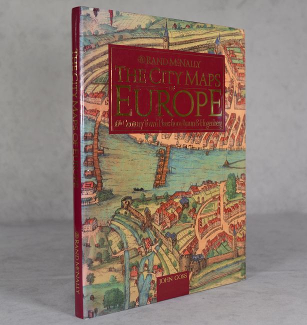
Auction 206, Lot 730
Subject: References, Braun & Hogenberg
Goss, John
The City Maps of Europe - 16th Century Town Plans from Braun & Hogenberg, 1992
Size: 11.5 x 15.3 inches (29.2 x 38.9 cm)
Estimate: $50 - $70
NO RESERVE
Sold for: $43
Closed on 11/12/2025
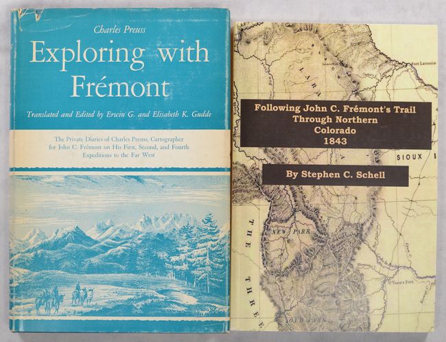
Auction 206, Lot 731
Subject: References, Fremont
[Lot of 2] Exploring with Fremont - The Private Diaries of Charles Preuss... [and] Following John C. Fremont's Trail Through Northern Colorado 1843, 1958-2010
Size: See Description
Estimate: $90 - $120
NO RESERVE
Sold for: $65
Closed on 11/12/2025
Auction 206, Lot 732
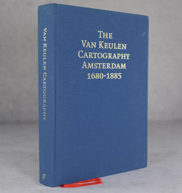
Subject: References, Van Keulen
The Van Keulen Cartography Amsterdam 1680-1885..., 2005
Size: 9.9 x 13.9 inches (25.1 x 35.3 cm)
Estimate: $75 - $90
Sold for: $100
Closed on 11/12/2025
Auction 206, Lot 733
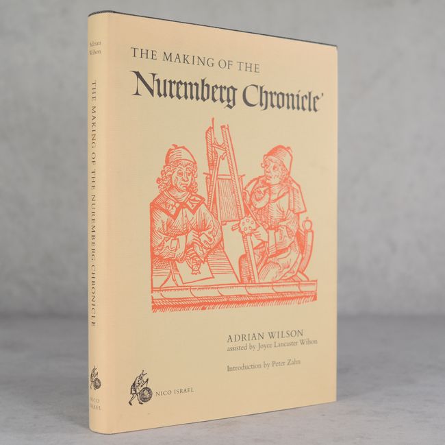
Subject: References, Incunabula
Wilson, Adrian
The Making of the Nuremberg Chronicle, 1978
Size: 9.8 x 14 inches (24.9 x 35.6 cm)
Estimate: $140 - $170
Sold for: $50
Closed on 11/12/2025
Auction 206, Lot 734
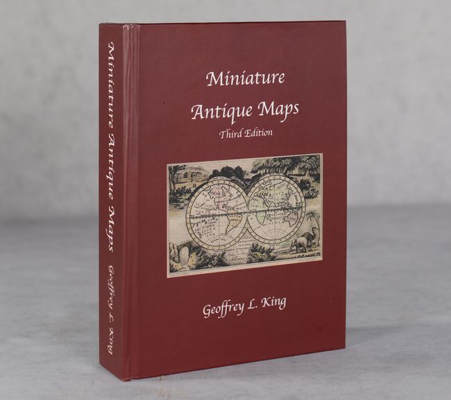
Subject: References, Miniature Maps
King, Geoffrey L.
Miniature Antique Maps, 2024
Size: 6.2 x 8.5 inches (15.7 x 21.6 cm)
Estimate: $140 - $170
Updated Third Edition - Limited Production Run of 50 Copies
Sold for: $170
Closed on 11/12/2025
Auction 206, Lot 735
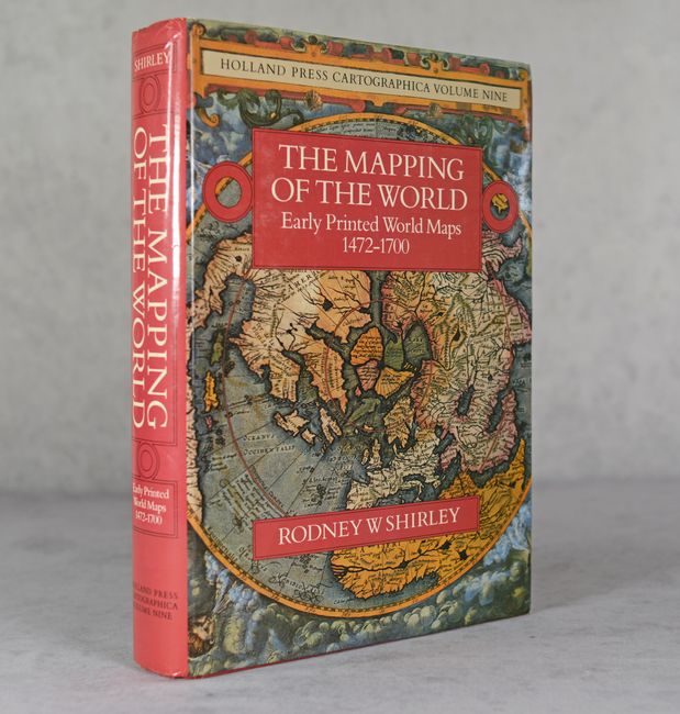
Subject: References, World
Shirley, Rodney W.
The Mapping of the World - Early Printed World Maps 1472-1700, 1983
Size: 9.7 x 13.6 inches (24.6 x 34.5 cm)
Estimate: $350 - $425
Sold for: $250
Closed on 11/12/2025
Auction 206, Lot 736
Subject: References, Western Hemisphere
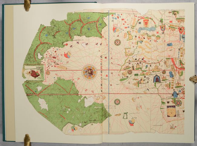
America in Maps - Dating from 1500 to 1856, 1976
Size: 14.6 x 20.9 inches (37.1 x 53.1 cm)
Estimate: $325 - $400
Sold for: $325
Closed on 11/12/2025
Auction 206, Lot 737
Subject: References, North America
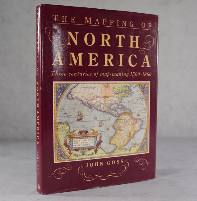
Goss, John
The Mapping of North America - Three Centuries of Map-Making 1500-1860, 1990
Size: 10.4 x 14.4 inches (26.4 x 36.6 cm)
Estimate: $40 - $50
NO RESERVE
Sold for: $37
Closed on 11/12/2025
Auction 206, Lot 738
Subject: References, North America
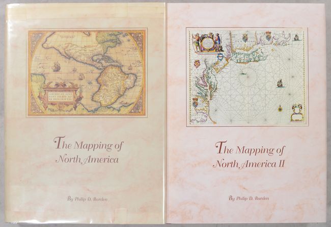
Burden, Philip D.
[2 Volumes] The Mapping of North America - A List of Printed Maps 1511-1670 [and] ... 1671-1700, 1996-2007
Size: 10.8 x 14.3 inches (27.4 x 36.3 cm)
Estimate: $350 - $425
Unsold
Closed on 11/12/2025
Auction 206, Lot 739
Subject: References, Western United States
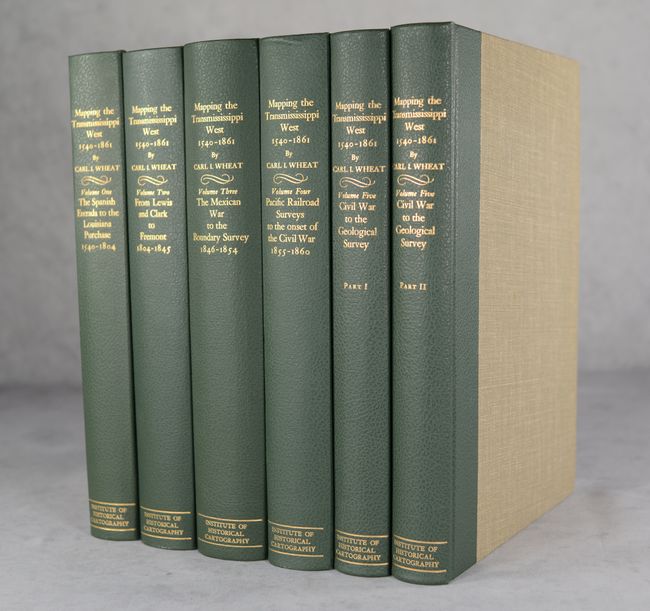
Wheat, Carl I.
[5 Volumes in 6 Books] 1540-1861 Mapping the Transmississippi West, 1957-63
Size: 10.3 x 14.5 inches (26.2 x 36.8 cm)
Estimate: $1,000 - $1,300
Complete First Edition of Wheat's Definitive Reference on the American West
Sold for: $750
Closed on 11/12/2025
Auction 206, Lot 740
Subject: References, California
Wheat, Carl I.
The Maps of the California Gold Region 1848-1857 - A Biblio-Cartography of an Important Decade, 1942
Size: 9.7 x 14.5 inches (24.6 x 36.8 cm)
Estimate: $550 - $700
First Edition
Sold for: $400
Closed on 11/12/2025
Auction 206, Lot 741
Subject: References, Maine
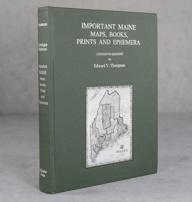
Catalogue Raisonne - Important Maine Maps, Books, Prints and Ephemera - The Property of Edward V. Thompson Bangor, Maine, 2003
Size: 8.5 x 11.1 inches (21.6 x 28.2 cm)
Estimate: $120 - $150
Sold for: $90
Closed on 11/12/2025
Auction 206, Lot 742
Subject: References, Utah
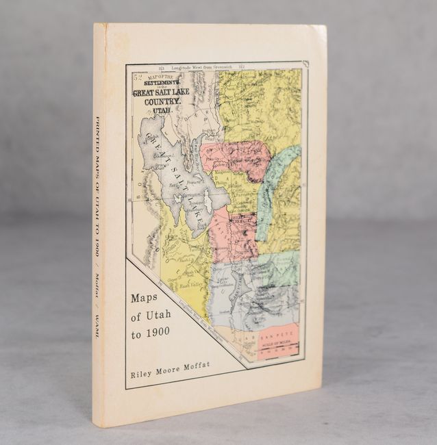
Printed Maps of Utah to 1900: An Annotated Cartobibliography, 1981
Size: 6 x 9 inches (15.2 x 22.9 cm)
Estimate: $40 - $55
NO RESERVE
Sold for: $11
Closed on 11/12/2025
Auction 206, Lot 743
Subject: References, New York City
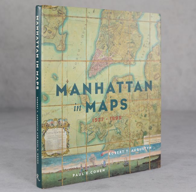
Manhattan in Maps 1527-1995, 1997
Size: 9.4 x 11 inches (23.9 x 27.9 cm)
Estimate: $25 - $35
NO RESERVE
Sold for: $60
Closed on 11/12/2025
Auction 206, Lot 744
Subject: References, Canary Islands
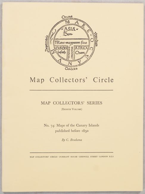
Map Collectors' Circle - No. 74: Maps of the Canary Islands Published Before 1850, 1971
Size: 7.3 x 9.8 inches (18.5 x 24.9 cm)
Estimate: $15 - $20
NO RESERVE
Sold for: $1
Closed on 11/12/2025
Auction 206, Lot 745
Subject: References, Scandinavia
Tooley, R. V.
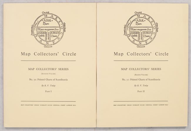
[Lot of 2] Map Collectors' Circle - Nos. 70 & 71: Printed Charts of Scandinavia Part I & II, 1971
Size: 7.3 x 9.8 inches (18.5 x 24.9 cm)
Estimate: $25 - $35
NO RESERVE
Sold for: $31
Closed on 11/12/2025
52 lots
Page 1 of 2


