Showing Featured Lots(remove filter)
Filtered by Category:United States(Show All Categories)
Showing results for:Auction 189
Catalog Archive
13 lots
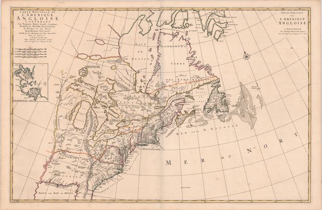
Auction 189, Lot 115
Subject: Colonial Eastern United States & Canada
Mortier, Pierre
Carte Nouvelle de l'Amerique Angloise Contenant la Virginie, Mary-Land, Caroline, Pensylvania Nouvelle Iorck. N: Iarsey N: France, et les Terres Nouvellement Decouerte..., 1700
Size: 35.8 x 23.3 inches (90.9 x 59.2 cm)
Estimate: $2,200 - $2,500
A Map Showing Fascinating Geographic Misconceptions
Sold for: $1,800
Closed on 9/14/2022
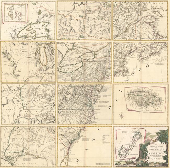
Auction 189, Lot 118
Subject: Colonial Eastern United States & Canada
Zatta, Antonio
[On 12 Sheets] Le Colonie Unite dell' America Settentrle. di Nuova Projezione..., 1778
Size: 16.9 x 12.6 inches (42.9 x 32 cm)
Estimate: $4,750 - $6,000
Impressive 12-Sheet Map of the New "United Colonies"
Sold for: $3,000
Closed on 9/14/2022
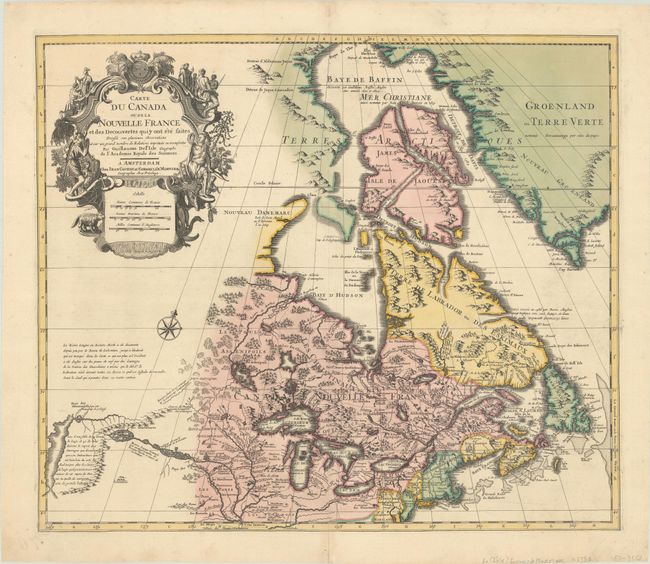
Auction 189, Lot 122
Subject: Colonial Northeastern United States & Canada
Delisle/Covens & Mortier
Carte du Canada ou de la Nouvelle France et des Decouvertes qui y ont ete Faites..., 1730
Size: 22.6 x 19.3 inches (57.4 x 49 cm)
Estimate: $1,400 - $1,700
One of the Most Influential Maps of Canada, Great Lakes & Upper Midwest
Sold for: $900
Closed on 9/14/2022
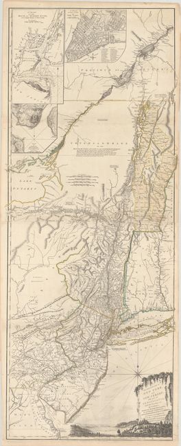
Auction 189, Lot 125
Subject: Colonial Northeastern United States & Quebec
Holland/Pownal
The Provinces of New York and New Jersey; with Part of Pensilvania, and the Province of Quebec, 1776
Size: 21.3 x 52.9 inches (54.1 x 134.4 cm)
Estimate: $3,500 - $4,250
Thomas Jefferys' Important Revolutionary War Period Map
Sold for: $4,000
Closed on 9/14/2022
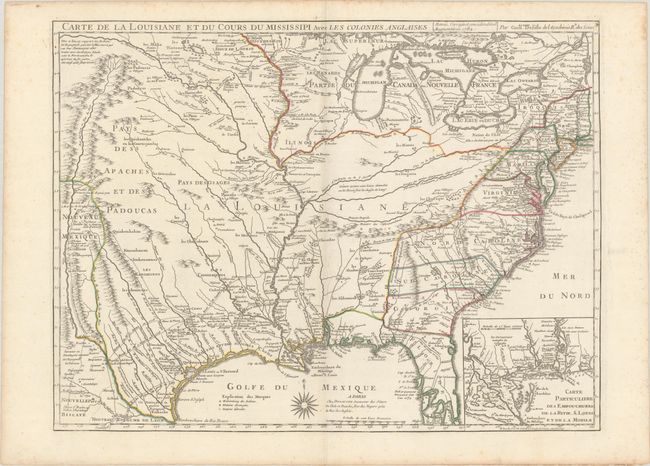
Auction 189, Lot 142
Subject: Colonial Eastern United States, Louisiana Territory
Delisle/Dezauche
Carte de la Louisiane et du Cours du Mississipi avec les Colonies Anglaises, 1782
Size: 25.5 x 19.2 inches (64.8 x 48.8 cm)
Estimate: $1,400 - $1,700
Dezauche Edition of Delisle's Influential Map of the Louisiana Territory
Sold for: $1,000
Closed on 9/14/2022
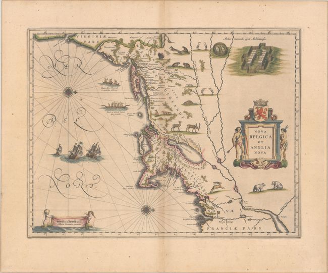
Auction 189, Lot 151
Subject: Colonial New England & Mid-Atlantic United States
Blaeu, Willem
Nova Belgica et Anglia Nova, 1635
Size: 19.9 x 15.3 inches (50.5 x 38.9 cm)
Estimate: $1,900 - $2,200
Important Map of Colonial New England and the Mid-Atlantic in Full Contemporary Color
Sold for: $1,700
Closed on 9/14/2022
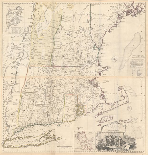
Auction 189, Lot 157
Subject: Colonial New England United States
Jefferys, Thomas
[On 2 Joined Sheets] A Map of the Most Inhabited Part of New England, Containing the Provinces of Massachusets Bay and New Hampshire, with the Colonies of Conecticut and Rhode Island..., 1774
Size: 38.8 x 20.5 inches (98.6 x 52.1 cm)
Estimate: $5,000 - $6,500
Jefferys' Influential Map of New England in Contemporary Outline Color
Sold for: $3,750
Closed on 9/14/2022
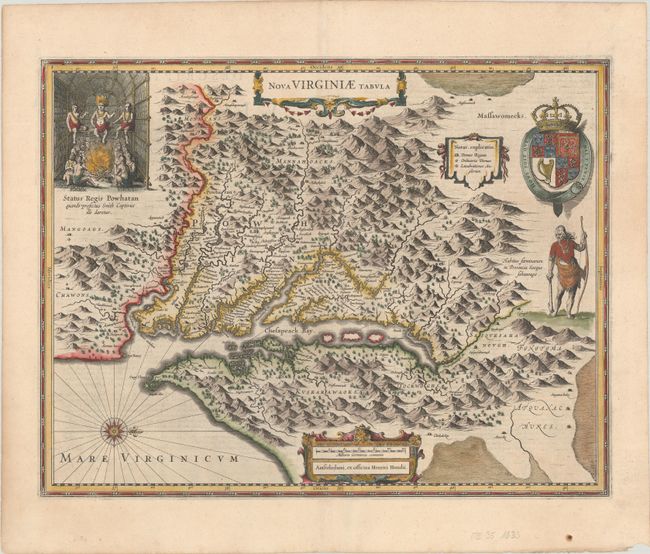
Auction 189, Lot 161
Subject: Colonial Mid-Atlantic United States
Hondius, Henricus
Nova Virginiae Tabula, 1633
Size: 19.6 x 15.1 inches (49.8 x 38.4 cm)
Estimate: $2,000 - $2,300
One of the Most Important 17th Century Maps of the Chesapeake Bay
Sold for: $1,500
Closed on 9/14/2022
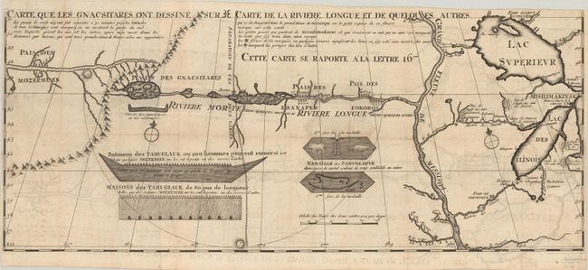
Auction 189, Lot 181
Subject: Colonial Upper Midwestern United States, River Longue
Lahontan, Louis Armand, Baron de
Carte que les Gnacsitares ont Dessine sur ... Carte de la Riviere Longue et de Quelques Autres qui se Dechargent dans le Grand Fleuve Missisipi …, 1703
Size: 26.3 x 11 inches (66.8 x 27.9 cm)
Estimate: $1,600 - $1,900
First Edition of Lahontan's Influential Map Depicting "Riviere Longue"
Sold for: $3,500
Closed on 9/14/2022
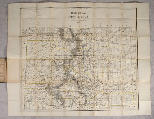
Auction 189, Lot 215
Subject: Colorado
Thayer's Map of Colorado, 1882
Size: 28.2 x 24.5 inches (71.6 x 62.2 cm)
Estimate: $2,500 - $3,250
Final Edition of Thayer's Large Format Map of Colorado
Sold for: $4,250
Closed on 9/14/2022
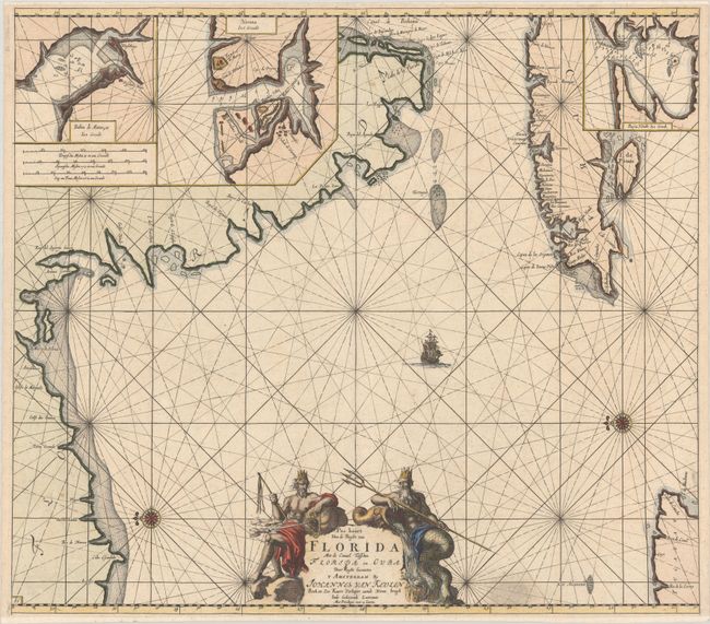
Auction 189, Lot 222
Subject: Florida & Cuba
Keulen/Vooght
Pas Kaart van de Boght van Florida met de Canaal Tusschen Florida en Cuba, 1682
Size: 23 x 20.3 inches (58.4 x 51.6 cm)
Estimate: $3,500 - $4,250
One of the First Charts of the Florida Gulf Coast in Full Contemporary Color
Unsold
Closed on 9/14/2022
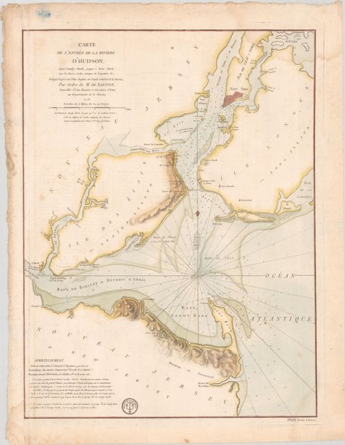
Auction 189, Lot 247
Subject: Colonial New York Harbor, Revolutionary War
Sartine
Carte de l'Entree de la Riviere d'Hudson, Depuis Sandy-Hook Jusques a New-York, avec les Bancs, Sondes, Marques de Navigation &c..., 1778
Size: 17.5 x 23.2 inches (44.5 x 58.9 cm)
Estimate: $1,600 - $1,900
Revolutionary War-Era Chart of New York Harbor Produced by the French Navy
Unsold
Closed on 9/14/2022
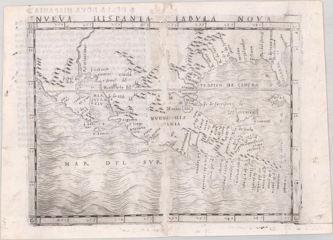
Auction 189, Lot 274
Subject: Southern United States & Mexico
Gastaldi, Giacomo
Nueva Hispania Tabula Nova, 1548
Size: 6.8 x 5 inches (17.3 x 12.7 cm)
Estimate: $2,750 - $3,500
The First Copperplate Map Devoted to North America
Sold for: $1,400
Closed on 9/14/2022
13 lots