Filtered by Category:United States(Show All Categories)
Showing results for:Auction 152
Catalog Archive
184 lots
Page 1 of 4
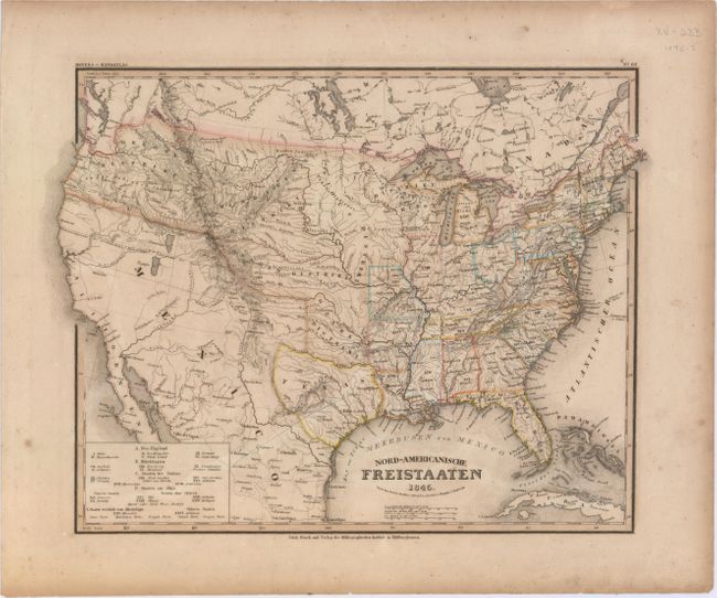
Auction 152, Lot 95
Subject: United States, Texas
Radefeld, Carl Christian Franz
Nord-Americanische Freistaaten, 1845
Size: 14.5 x 11.8 inches (36.8 x 30 cm)
Estimate: $240 - $300
Sold for: $150
Closed on 2/18/2015
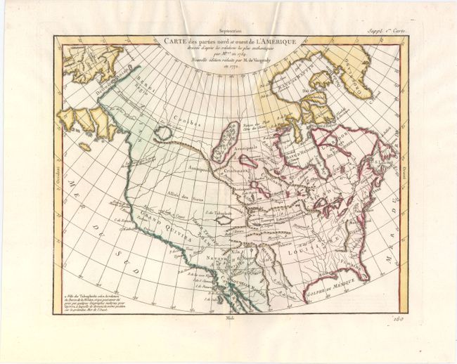
Auction 152, Lot 113
Subject: Colonial United States & Canada
Robert de Vaugondy, Didier
Carte des Parties Nord et Ouest de l'Amerique Dressee d'Apres les Relations les Plus Authentiques par M... en 1764, 1772
Size: 15.2 x 11.8 inches (38.6 x 30 cm)
Estimate: $200 - $230
Sold for: $150
Closed on 2/18/2015
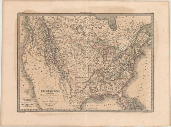
Auction 152, Lot 114
Subject: United States & Canada, Texas
Lapie/Tardieu
Carte des Etats-Unis d'Amerique, du Canada, du Nouveau Brunswick et d'Une Partie de la Nouvelle Bretagne, 1838
Size: 21.7 x 15.6 inches (55.1 x 39.6 cm)
Estimate: $200 - $230
Sold for: $150
Closed on 2/18/2015
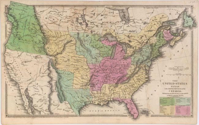
Auction 152, Lot 115
Subject: United States & Canada, Texas
Huntington, F. J.
The United States Texas & the British Provinces of the Canadas, Newfoundland, Nova Scotia, N. Brunswick & Prince Edward Island, 1838
Size: 18.3 x 11 inches (46.5 x 27.9 cm)
Estimate: $350 - $450
Sold for: $400
Closed on 2/18/2015
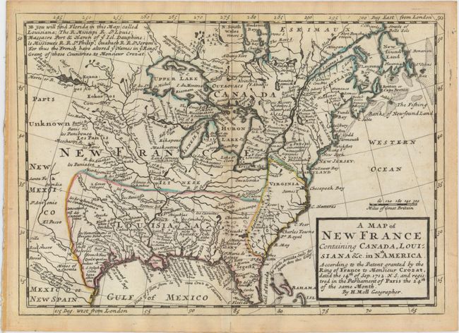
Auction 152, Lot 116
Subject: Colonial Eastern United States & Canada
Moll, Herman
A Map of New France Containing Canada, Louisiana &c. in Nth. America..., 1745
Size: 10.2 x 7.2 inches (25.9 x 18.3 cm)
Estimate: $550 - $650
Sold for: $300
Closed on 2/18/2015
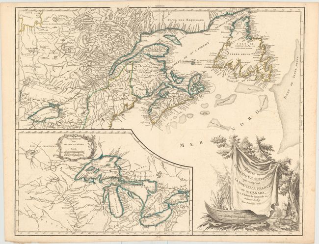
Auction 152, Lot 117
Subject: Colonial Eastern United States & Canada, Great Lakes
Robert de Vaugondy, Didier
Partie de l'Amerique Septent? qui Comprend la Nouvelle France ou le Canada, 1755
Size: 23.8 x 19.1 inches (60.5 x 48.5 cm)
Estimate: $700 - $850
Unsold
Closed on 2/18/2015
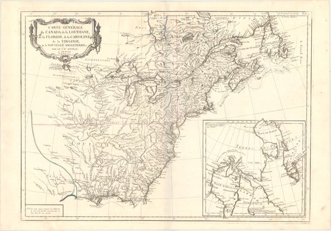
Auction 152, Lot 118
Subject: Colonial Eastern United States & Canada
D'Anville/Santini
Carte Generale du Canada, de la Louisiane, de la Floride, de la Caroline, de la Virginie, de la Nouvelle Angleterre Etc., 1776
Size: 25.8 x 18.9 inches (65.5 x 48 cm)
Estimate: $550 - $700
Sold for: $400
Closed on 2/18/2015
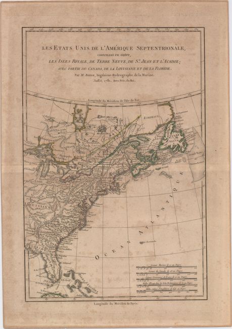
Auction 152, Lot 119
Subject: Colonial Eastern United States & Canada
Bonne, Rigobert
Les Etats Unis de l'Amerique Septentrionale, Contenant en Outre, les Isles Royale, de Terre Neuve, de St. Jean et l'Acadie; avec Partie du Canada, de la Louisiane et de la Floride, 1781
Size: 8.5 x 12.8 inches (21.6 x 32.5 cm)
Estimate: $120 - $150
Sold for: $80
Closed on 2/18/2015
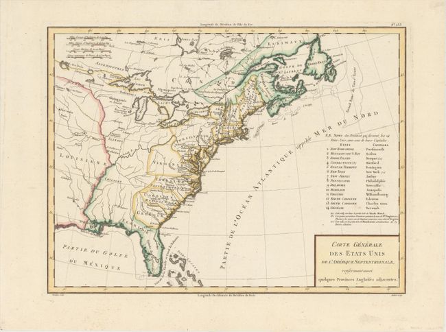
Auction 152, Lot 120
Subject: Eastern United States & Canada
Tardieu, Pierre Francois
Carte Generale des Etats Unis de l'Amerique Septentrionale, Renfermantaussi quelques Provinces Angloises Adjacentes, 1797
Size: 17 x 12.7 inches (43.2 x 32.3 cm)
Estimate: $240 - $300
Sold for: $180
Closed on 2/18/2015
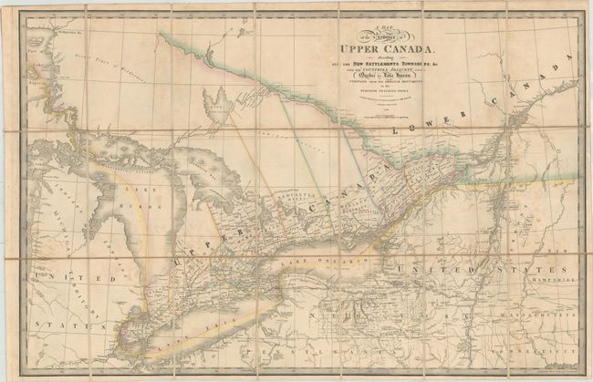
Auction 152, Lot 121
Subject: Eastern United States & Canada
Wyld, James
A Map of the Province of Upper Canada Describing All the New Settlements, Townships, &c. with the Countries Adjacent, from Quebec to Lake Huron, 1838
Size: 33.7 x 22.3 inches (85.6 x 56.6 cm)
Estimate: $450 - $550
Sold for: $450
Closed on 2/18/2015
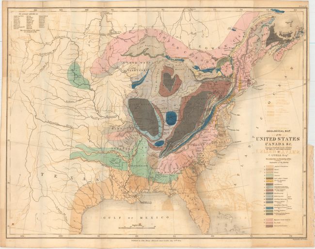
Auction 152, Lot 122
Subject: Eastern United States & Canada, Texas
Lyell, Charles
Geological Map of the United States Canada &c. Compiled from the State Surveys of the U.S. and Other Sources, 1845
Size: 19.6 x 15.1 inches (49.8 x 38.4 cm)
Estimate: $400 - $500
Sold for: $325
Closed on 2/18/2015
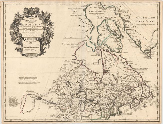
Auction 152, Lot 123
Subject: Colonial Northeastern United States & Canada, Great Lakes
Delisle, Guillaume
Carte du Canada ou de la Nouvelle France et des Decouvertes qui y ont ete faites..., 1703
Size: 25.7 x 19.7 inches (65.3 x 50 cm)
Estimate: $2,400 - $3,000
Delisle's Seminal Map of Canada and the Great Lakes
Sold for: $2,100
Closed on 2/18/2015
Auction 152, Lot 124
Subject: Colonial Northeastern United States & Canada
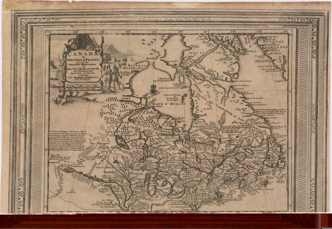
Aa, Pieter van der
Canada ou Nouvelle France, Suivant les Nouvelles Observations de Messrs. De l'Academie Royale des Sciences, etc., 1730
Size: 15.1 x 10.4 inches (38.4 x 26.4 cm)
Estimate: $400 - $475
Sold for: $400
Closed on 2/18/2015
Auction 152, Lot 125
Subject: Colonial New England & Canada
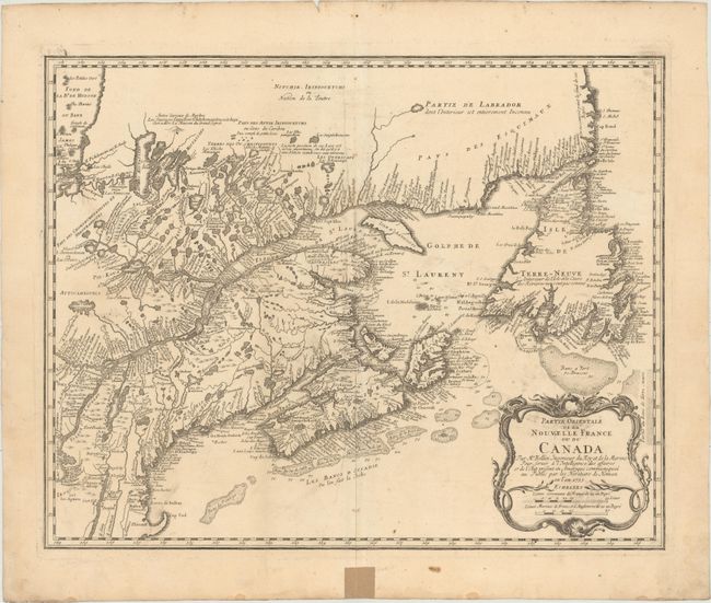
Bellin/Homann Heirs
Partie Orientale de la Nouvelle France ou du Canada, 1755
Size: 21.1 x 16.9 inches (53.6 x 42.9 cm)
Estimate: $700 - $850
Sold for: $500
Closed on 2/18/2015
Auction 152, Lot 126
Subject: Colonial Central United States & Canada
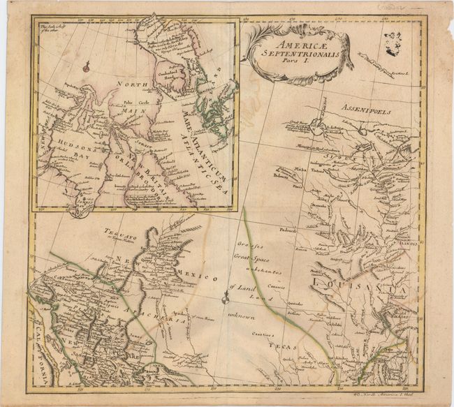
Euler, Leonhard
Americae Septentrionalis Pars I, 1753
Size: 14.3 x 13.6 inches (36.3 x 34.5 cm)
Estimate: $300 - $375
Sold for: $180
Closed on 2/18/2015
Auction 152, Lot 127
Subject: Colonial Central United States & Canada, Great Lakes
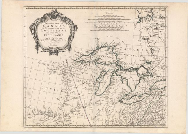
D'Anville/Santini
Partie Occidentale du Canada et Septentrionale de la Louisiane avec une Partie de la Pensilvanie..., 1775
Size: 22.5 x 19.1 inches (57.2 x 48.5 cm)
Estimate: $950 - $1,200
Sold for: $700
Closed on 2/18/2015
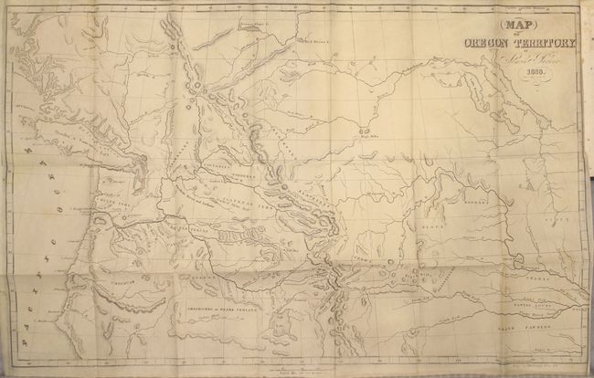
Auction 152, Lot 128
Subject: Western United States & Canada
Parker, Samuel (Rev.)
Journal of an Exploring Tour Beyond the Rocky Mountains … [with] Map of Oregon Territory, 1846
Size: 5 x 7.8 inches (12.7 x 19.8 cm)
Estimate: $400 - $500
Sold for: $300
Closed on 2/18/2015
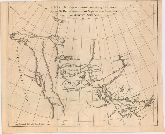
Auction 152, Lot 129
Subject: Western Canada & Alaska
Anon.
A Map Shewing the Communication of the Lakes and the Rivers Between Lake Superior and Slave Lake in North America, 1790
Size: 9.3 x 7.8 inches (23.6 x 19.8 cm)
Estimate: $200 - $250
Sold for: $140
Closed on 2/18/2015
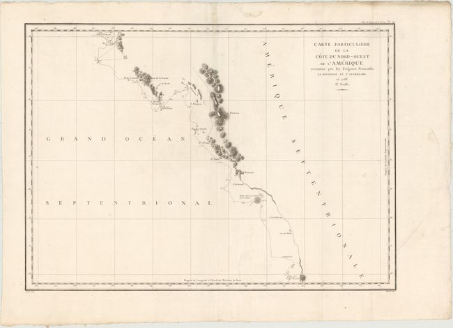
Auction 152, Lot 130
Subject: Western Canada & Alaska
La Perouse, Comte Jean F. Galoup, de
Carte Particuliere de la Cote du Nord-Ouest de l'Amerique Reconnue par les Fregates Francaises la Boussole et l'Astrolabe. En 1786 2e. Feuille, 1797
Size: 27 x 19.5 inches (68.6 x 49.5 cm)
Estimate: $160 - $190
Unsold
Closed on 2/18/2015
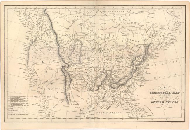
Auction 152, Lot 131
Subject: United States
Hinton, Simpkin & Marshall
A Geological Map of the United States, 1832
Size: 15.4 x 9.8 inches (39.1 x 24.9 cm)
Estimate: $250 - $325
Sold for: $160
Closed on 2/18/2015
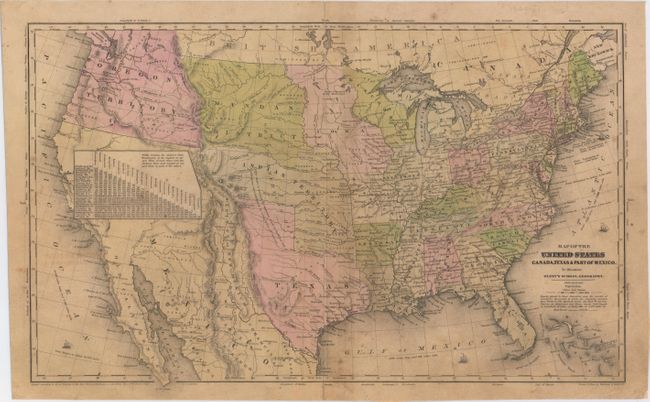
Auction 152, Lot 132
Subject: United States, Texas & Mexico
Robinson, D.F. & Co.
Map of the United States Canada, Texas & Part of Mexico to Illustrate Olney's School Geography, 1844
Size: 17.3 x 10.4 inches (43.9 x 26.4 cm)
Estimate: $180 - $220
Sold for: $550
Closed on 2/18/2015
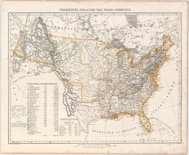
Auction 152, Lot 133
Subject: United States, Texas
Flemming, Carl
Vereinigte Staaten von Nord-America, 1844
Size: 16.1 x 12.6 inches (40.9 x 32 cm)
Estimate: $230 - $275
Sold for: $110
Closed on 2/18/2015
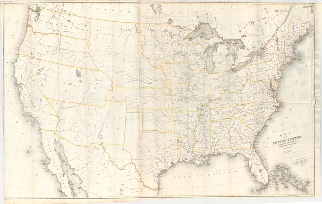
Auction 152, Lot 134
Subject: United States
Burr, David H.
Map of the United States Exhibiting the Several Collection Districts, 1854
Size: 48.4 x 31 inches (122.9 x 78.7 cm)
Estimate: $180 - $220
Sold for: $120
Closed on 2/18/2015
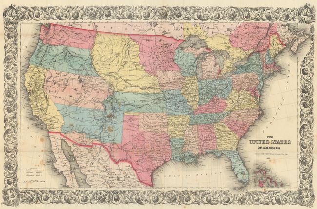
Auction 152, Lot 135
Subject: United States
Colton, Joseph Hutchins
The United States of America, 1855
Size: 26.6 x 17.3 inches (67.6 x 43.9 cm)
Estimate: $400 - $500
Sold for: $350
Closed on 2/18/2015
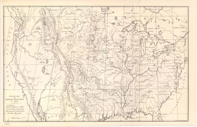
Auction 152, Lot 136
Subject: United States
[Lot of 5 - Indian Reservations], 1883-1910
Size: See Description
Estimate: $200 - $300
Sold for: $150
Closed on 2/18/2015
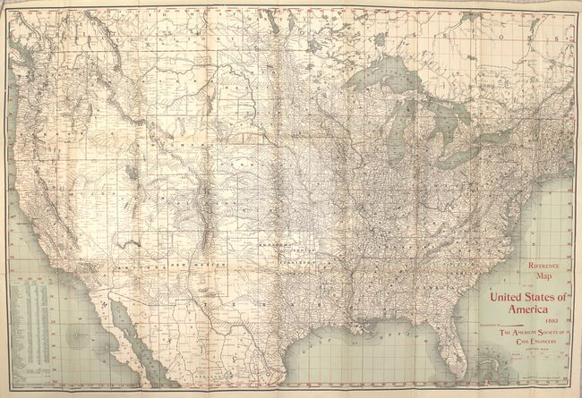
Auction 152, Lot 137
Subject: United States
Rand McNally & Co.
Reference Map of the United States of America 1893 Presented by the American Society of Civil Engineers, 1893
Size: 30.5 x 20.5 inches (77.5 x 52.1 cm)
Estimate: $160 - $200
Sold for: $160
Closed on 2/18/2015
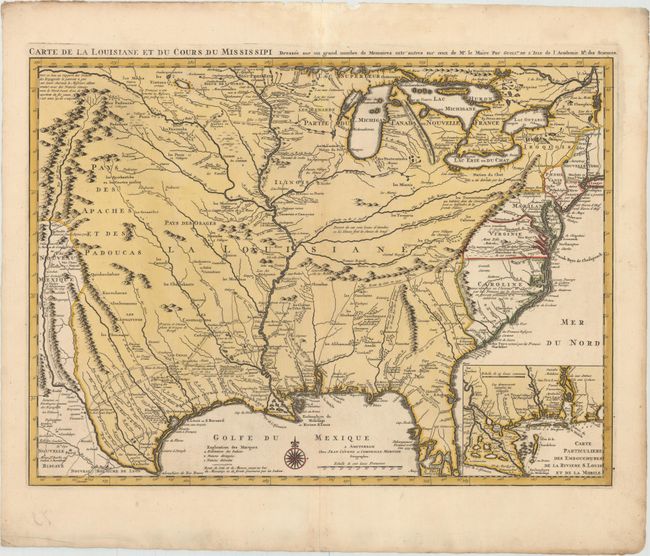
Auction 152, Lot 138
Subject: Colonial Eastern United States, Louisiana Territory
Delisle/Covens & Mortier
Carte de la Louisiane et du Cours du Mississipi Dressee sur un Grand Nombre de Memoires Entr'autres sur ceux de Mr. le Maire, 1730
Size: 23.6 x 17.3 inches (59.9 x 43.9 cm)
Estimate: $2,750 - $3,500
Delisle's Influential Map of the Louisiana Territory
Sold for: $1,800
Closed on 2/18/2015
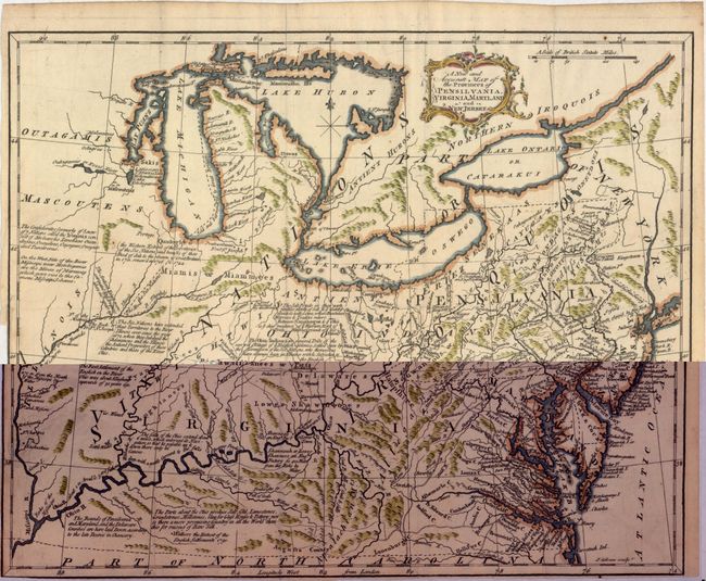
Auction 152, Lot 139
Subject: Colonial Eastern United States, Great Lakes
Gibson, John
A New and Accurate Map of the Provinces of Pensilvania, Virginia, Maryland and New Jersey, 1762
Size: 13.8 x 11 inches (35.1 x 27.9 cm)
Estimate: $400 - $500
Sold for: $375
Closed on 2/18/2015
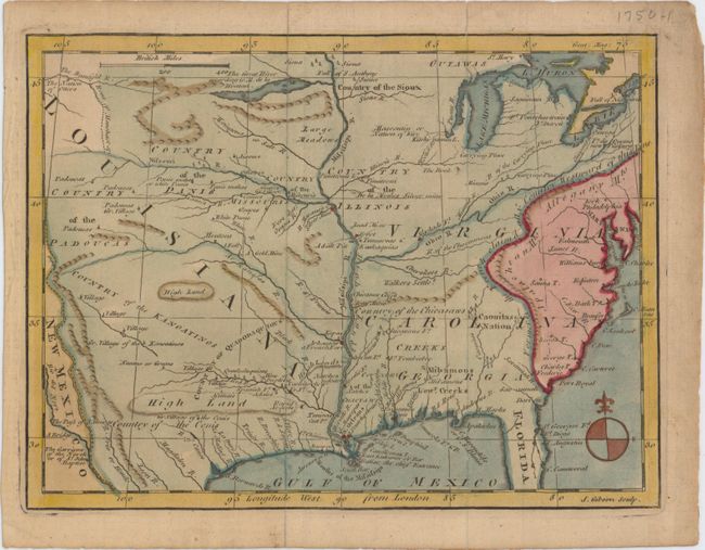
Auction 152, Lot 140
Subject: Colonial Eastern United States
Gibson, John
[Untitled - Louisiana, Virginia & Carolina], 1763
Size: 9.5 x 7.1 inches (24.1 x 18 cm)
Estimate: $250 - $325
Sold for: $220
Closed on 2/18/2015
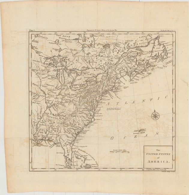
Auction 152, Lot 141
Subject: Eastern United States
Conder, Thomas
The United States of America, 1788
Size: 11.8 x 11.3 inches (30 x 28.7 cm)
Estimate: $400 - $500
Sold for: $275
Closed on 2/18/2015
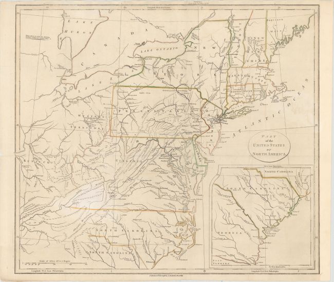
Auction 152, Lot 142
Subject: Eastern United States
Stockdale, John
Part of the United States of North America, 1798
Size: 18.4 x 16.2 inches (46.7 x 41.1 cm)
Estimate: $300 - $400
Sold for: $190
Closed on 2/18/2015
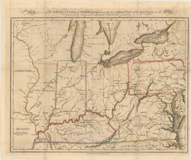
Auction 152, Lot 143
Subject: Eastern United States
[Lot of 2] Map of Part of the United States of North America, with the Territory of the Illinois on the Ohio…[with] Notes on a Journey in America, from the Coast of Virginia to the Territory of Illinois, 1818
Size: 15.9 x 12 inches (40.4 x 30.5 cm)
Estimate: $250 - $325
Sold for: $600
Closed on 2/18/2015
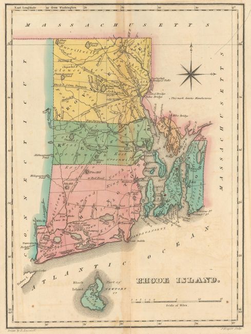
Auction 152, Lot 144
Subject: Eastern United States
Carey & Lea
[Lot of 4] Geographical, Statistical, and Historical Map of Rhode Island [and] Geographical, Statistical, and Historical Map of New York [and] Chart of the Constitutions of the United States [and] Chronological Map of the United States…, 1822
Size: See Description
Estimate: $200 - $250
Sold for: $120
Closed on 2/18/2015
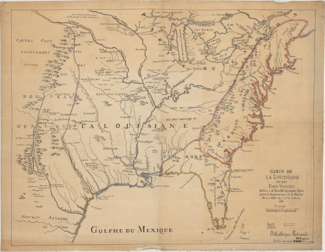
Auction 152, Lot 145
Subject: Eastern United States
Bellin, Jacques Nicolas
Carte de la Louisiane et des Pays Voisins Dediee a M. Rouille Secretaire d'Etat Ayant le Departement de la Marine, 1850
Size: 22.4 x 17.4 inches (56.9 x 44.2 cm)
Estimate: $1,400 - $1,700
Sold for: $750
Closed on 2/18/2015
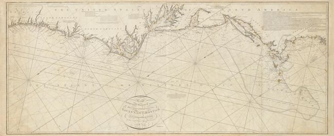
Auction 152, Lot 146
Subject: Eastern United States
Norie, John William
To the Independent Mariners of America, This Chart of their Coast from Savannah to Boston is most Respectfully Dedicated…, 1852
Size: 61 x 25.3 inches (154.9 x 64.3 cm)
Estimate: $2,000 - $2,300
Rare Blue-Back Chart of the East Coast
Sold for: $1,500
Closed on 2/18/2015
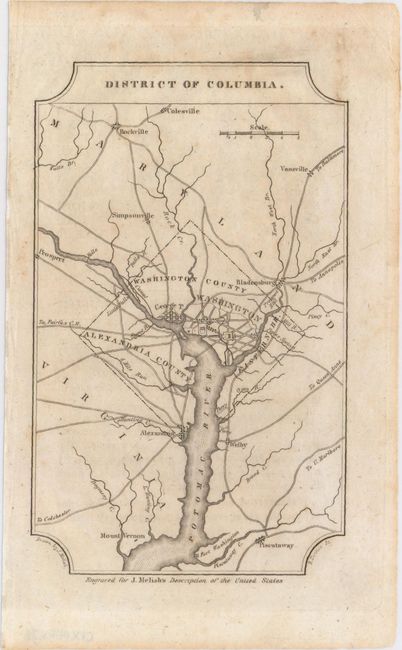
Auction 152, Lot 147
Subject: Eastern United States Cities
Melish, John
[Lot of 3] District of Columbia [and] Boston, and Adjacent Country [and] Baltimore, Annapolis and Adjacent Country, 1822
Size: 4 x 6.6 inches (10.2 x 16.8 cm)
Estimate: $350 - $450
Sold for: $240
Closed on 2/18/2015
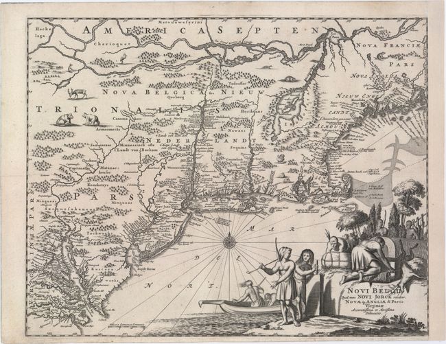
Auction 152, Lot 148
Subject: Colonial New England & Mid-Atlantic United States
Montanus, Arnoldus
Novi Belgii, quod nunc Novi Jorck Vocatur, Novae qz. Angliae & Partis Virginiae Accuratissima et Novissima Delineatio, 1671
Size: 14.5 x 11.5 inches (36.8 x 29.2 cm)
Estimate: $1,400 - $1,700
Sold for: $2,100
Closed on 2/18/2015
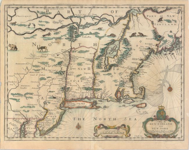
Auction 152, Lot 149
Subject: Colonial New England & New York
Speed/Lamb
A Map of New England and New York, 1676
Size: 19.7 x 15 inches (50 x 38.1 cm)
Estimate: $5,000 - $6,000
"Speed" Map of New England
Sold for: $3,500
Closed on 2/18/2015
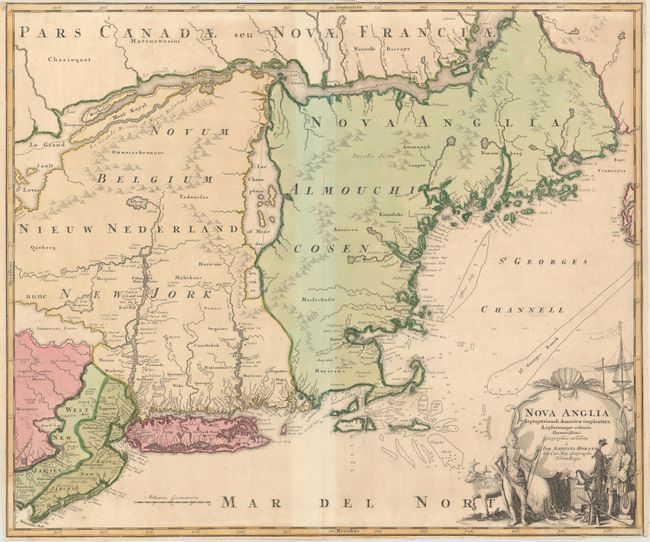
Auction 152, Lot 150
Subject: Colonial New England & Mid-Atlantic United States
Homann, Johann Baptist
Nova Anglia Septentrionali Americae Implantata Anglorumque Coloniis Florentissima..., 1730
Size: 22.8 x 19.3 inches (57.9 x 49 cm)
Estimate: $950 - $1,200
Sold for: $600
Closed on 2/18/2015
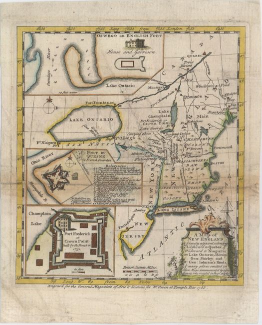
Auction 152, Lot 151
Subject: Colonial New England
Anon.
A Map of New England & ye Country Adjacent, Extending Northward to Quebec & Westward to Niagara, on Lake Ontairo, Shewing Gen: Shirley and Gen: Johnson's Routs, & Many Places Omitted in Other Maps; Communicated by a Gentleman Who Resided in These Parts, 1755
Size: 7 x 8 inches (17.8 x 20.3 cm)
Estimate: $450 - $550
Sold for: $300
Closed on 2/18/2015
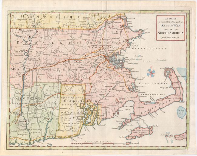
Auction 152, Lot 152
Subject: Colonial New England
Anon.
A New and Accurate Map of the Present Seat of War in North America, from a Late Survey, 1775
Size: 15 x 11.3 inches (38.1 x 28.7 cm)
Estimate: $600 - $800
Sold for: $425
Closed on 2/18/2015
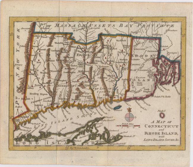
Auction 152, Lot 153
Subject: Colonial New England
Anon.
A Map of Connecticut and Rhode Island, with Long Island Sound, &c., 1776
Size: 9 x 6.9 inches (22.9 x 17.5 cm)
Estimate: $190 - $220
Sold for: $190
Closed on 2/18/2015
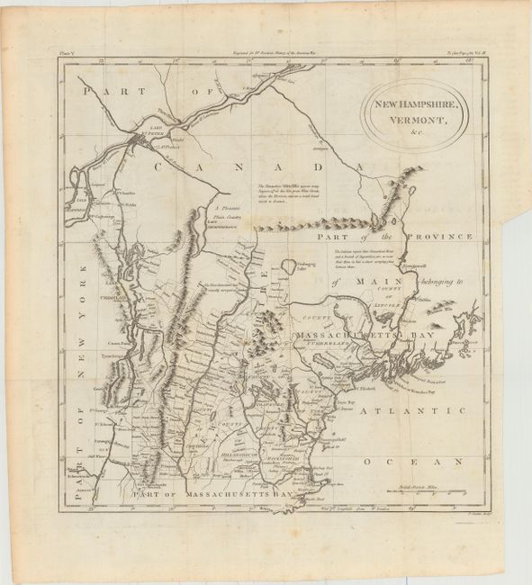
Auction 152, Lot 154
Subject: Maine, New Hampshire, & Vermont
Conder, Thomas
New Hampshire, Vermont, &c., 1788
Size: 13.5 x 14.5 inches (34.3 x 36.8 cm)
Estimate: $500 - $600
Sold for: $350
Closed on 2/18/2015
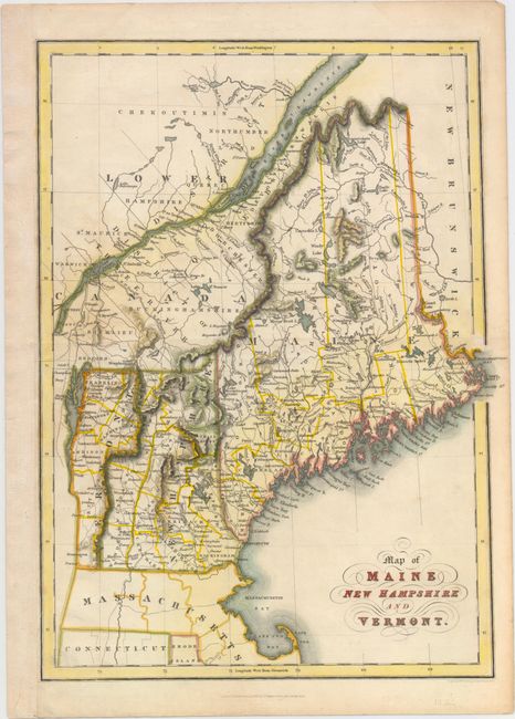
Auction 152, Lot 155
Subject: Maine, New Hampshire, & Vermont
Hinton, Simpkin & Marshall
Map of Maine New Hampshire and Vermont, 1832
Size: 10.4 x 14.2 inches (26.4 x 36.1 cm)
Estimate: $140 - $170
Unsold
Closed on 2/18/2015
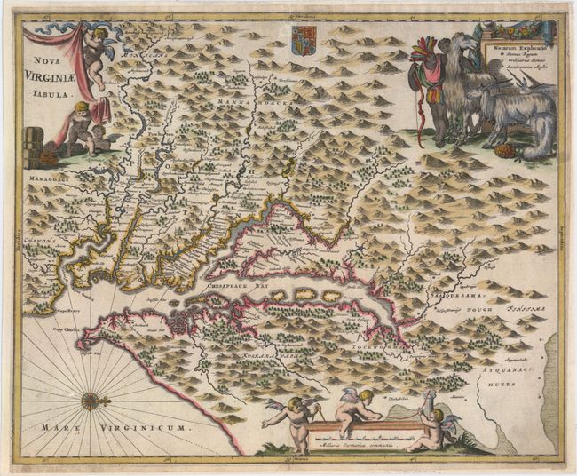
Auction 152, Lot 156
Subject: Colonial Mid-Atlantic United States
Montanus, Arnoldus
Nova Virginiae Tabula, 1671
Size: 14.1 x 11.5 inches (35.8 x 29.2 cm)
Estimate: $1,000 - $1,300
Sold for: $650
Closed on 2/18/2015
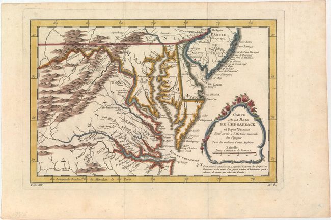
Auction 152, Lot 157
Subject: Colonial Mid-Atlantic United States
Bellin, Jacques Nicolas
Carte de la Baye de Chesapeack et Pays Voisins pour Servir a l'Histoire Generale des Voyages Tiree des Meilleures Cartes Angloises, 1757
Size: 11.4 x 7.6 inches (29 x 19.3 cm)
Estimate: $275 - $350
Sold for: $275
Closed on 2/18/2015
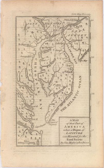
Auction 152, Lot 158
Subject: Mid-Atlantic United States
[Lot of 2] A Map of That Part of America Where a Degree of Latitude Was Measured for the Royal Society... [and] Messages from the Governors of Maryland and Pennsylvania ... A Portion of Mason and Dixon's Line. With a Map. Second Edition, 1769-1862
Size: See Description
Estimate: $600 - $800
Sold for: $375
Closed on 2/18/2015
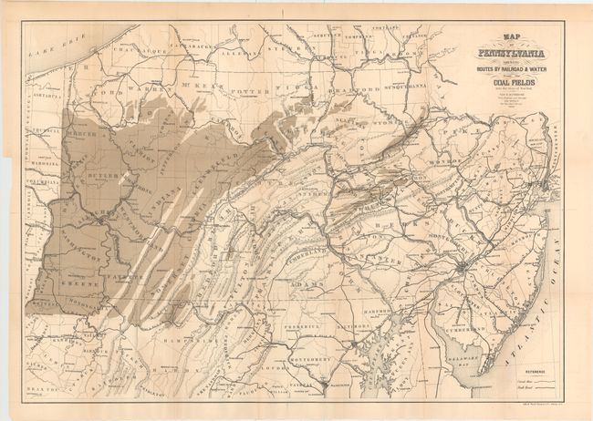
Auction 152, Lot 159
Subject: Mid-Atlantic United States
Sweet, S.H.
Map of Pennsylvania Shewing Routes by Railroad & Water from the Coal Fields into the State of New York, 1868
Size: 30 x 21 inches (76.2 x 53.3 cm)
Estimate: $110 - $140
Sold for: $70
Closed on 2/18/2015
Auction 152, Lot 160
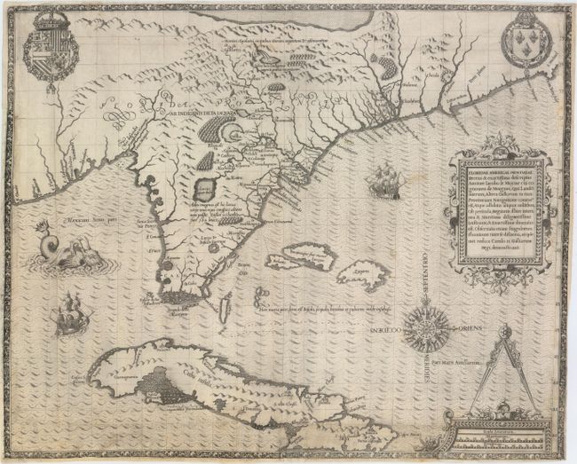
Subject: Colonial Southeast, Florida and Cuba
Bry, Theodore de
Floridae Americae Provinciae Recens & Exactissima Descriptio Auctore Iacobo le Moyne..., 1591
Size: 17.9 x 14.5 inches (45.5 x 36.8 cm)
Estimate: $11,000 - $15,000
De Bry's Influential Map of Colonial North America
Unsold
Closed on 2/18/2015
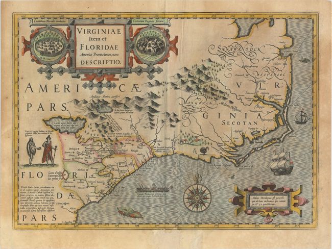
Auction 152, Lot 161
Subject: Colonial Southeast United States
Hondius, Jodocus
Virginiae Item et Floridae Americae Provinciarum, Nova Descriptio, 1623
Size: 19.2 x 13.6 inches (48.8 x 34.5 cm)
Estimate: $2,300 - $2,750
A Seminal Map of the Southeast and Early American Cartography
Sold for: $1,500
Closed on 2/18/2015
184 lots
Page 1 of 4