Filtered by Category:Books, Atlases, Travel Guides, Geography & Reference Books(Show All Categories)
Showing results for:Auction 152
Catalog Archive
53 lots
Page 1 of 2
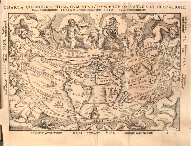
Auction 152, Lot 753
Subject: Atlases
Apianus, Peter Bienewitz
Cosmographia [with] Charta Cosmographica, cum Ventorum Propria Natura et Operatione, 1564
Size: 10.8 x 7.8 inches (27.4 x 19.8 cm)
Estimate: $6,000 - $7,500
Apianus' Popular Book on Cosmography
Sold for: $4,750
Closed on 2/18/2015
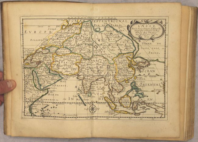
Auction 152, Lot 754
Subject: Atlases, Asia
Sanson, Nicolas
L'Asie en Plusieurs Cartes Nouvelles, et Exactes; & en Divers Traitte's de Geographie, et d'Histoire..., 1658
Size: 7.3 x 10 inches (18.5 x 25.4 cm)
Estimate: $3,500 - $4,250
Sanson's Complete Atlas of Asia in Original Color
Sold for: $4,500
Closed on 2/18/2015
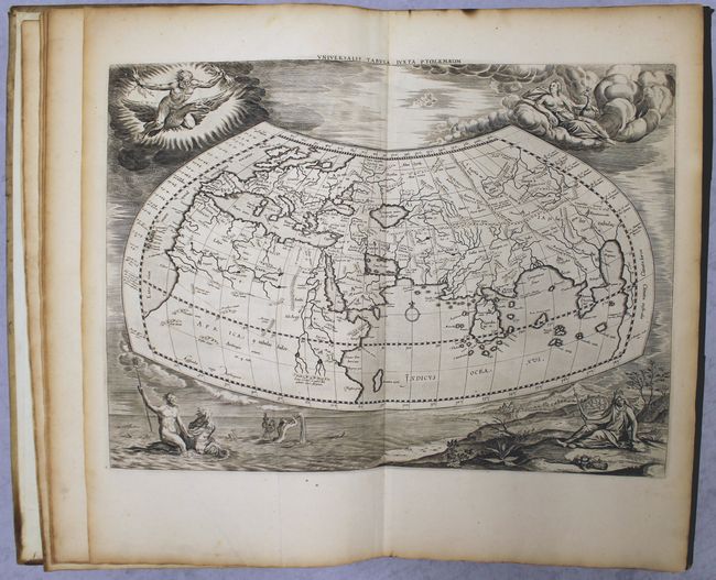
Auction 152, Lot 755
Subject: Atlases
Ptolemy/Mercator
Orbis Antiqui Tabulae Geographicae Secundum Cl. Ptolemaeum, cum Indice Philologico Absolutissimo..., 1730
Size: 11.9 x 19 inches (30.2 x 48.3 cm)
Estimate: $5,500 - $6,500
Complete Edition of Mercator's Ptolemaic Atlas
Sold for: $3,750
Closed on 2/18/2015
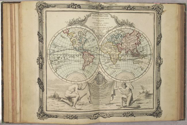
Auction 152, Lot 756
Subject: Atlases
Brion de la Tour/Desnos
Atlas General, Civil, Ecclesiastique et Militaire Methodique et Elementaire pour l'Etude de la Geographie et de l'Histoire, 1782
Size: 9 x 11.5 inches (22.9 x 29.2 cm)
Estimate: $2,400 - $3,000
A Decorative French Atlas Published Prior to the Conclusion of the Revolutionary War
Sold for: $3,750
Closed on 2/18/2015
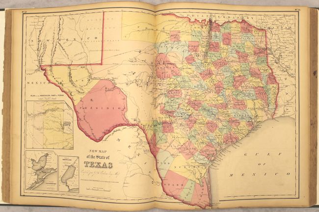
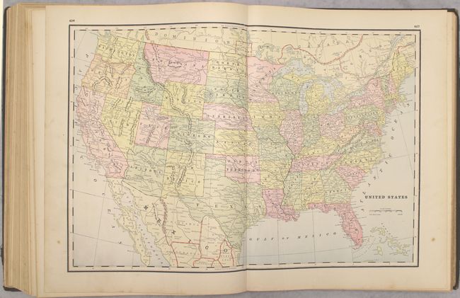
Auction 152, Lot 757
Subject: Atlases
Lavoisne/Aspin
A Complete Genealogical, Historical, Chronological, and Geographical Atlas; Being a General Guide to Ancient and Modern History..., 1821
Size: 12.4 x 17.9 inches (31.5 x 45.5 cm)
Estimate: $1,200 - $1,500
Includes Melish's Popular Map of the United States
Sold for: $1,400
Closed on 2/18/2015
Auction 152, Lot 758
Subject: Atlases
Goodrich, Samuel Griswold
Atlas Accompanying Rev. C.A. Goodrich's Outlines of Modern Geography, 1826
Size: 6 x 9 inches (15.2 x 22.9 cm)
Estimate: $300 - $375
Sold for: $220
Closed on 2/18/2015
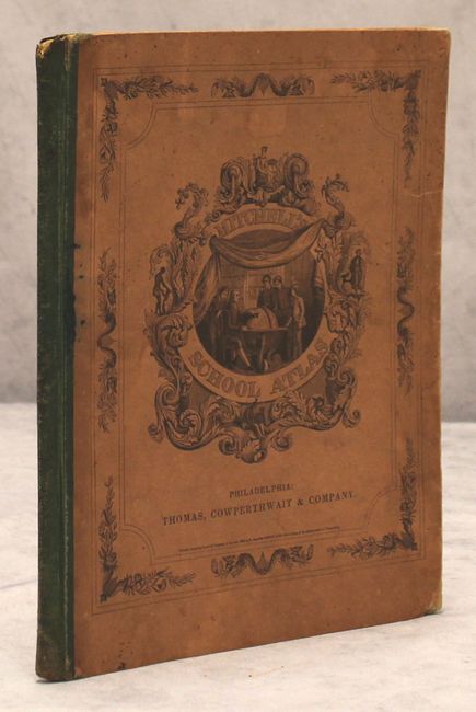
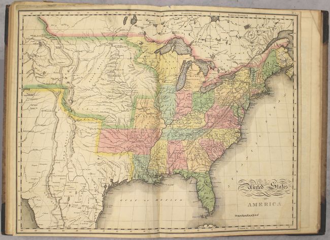
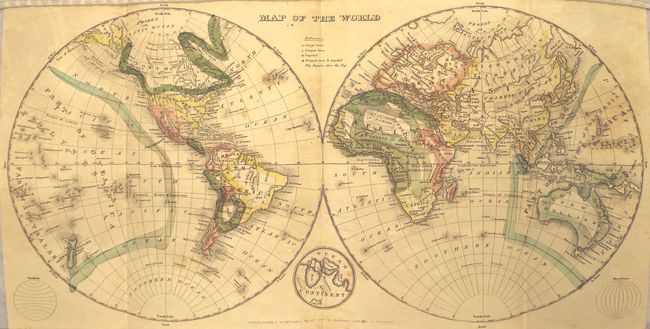
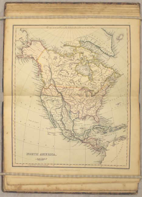
Auction 152, Lot 759
Subject: Atlases
Thomas, Cowperthwait & Co.
Mitchell's School Atlas, 1839
Size: 9.8 x 12 inches (24.9 x 30.5 cm)
Estimate: $300 - $375
Sold for: $375
Closed on 2/18/2015
Auction 152, Lot 760
Subject: Atlases
Findlay, Alexander George
A Junior Atlas of Modern Geography. Containing Seventeen Maps, Finely Coloured..., 1852
Size: 6.7 x 9.8 inches (17 x 24.9 cm)
Estimate: $200 - $250
Sold for: $150
Closed on 2/18/2015
Auction 152, Lot 761
Subject: Atlases
Colton, Joseph Hutchins
Colton's General Atlas, Containing One Hundred and Seventy Steel Plate Maps and Plans, on One Hundred Imperial Folio Sheets, 1857
Size: 15 x 18 inches (38.1 x 45.7 cm)
Estimate: $2,500 - $3,250
Colton's Impressive General Atlas
Sold for: $2,000
Closed on 2/18/2015
Auction 152, Lot 762
Subject: Atlases
Johnson & Ward
Johnson's New Illustrated (Steel Plate) Family Atlas, with Physical Geography, and with Descriptions Geographical, Statistical, and Historical..., 1864
Size: 14.8 x 18.8 inches (37.6 x 47.8 cm)
Estimate: $1,400 - $1,700
Sold for: $1,500
Closed on 2/18/2015
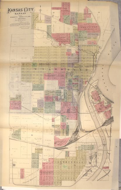
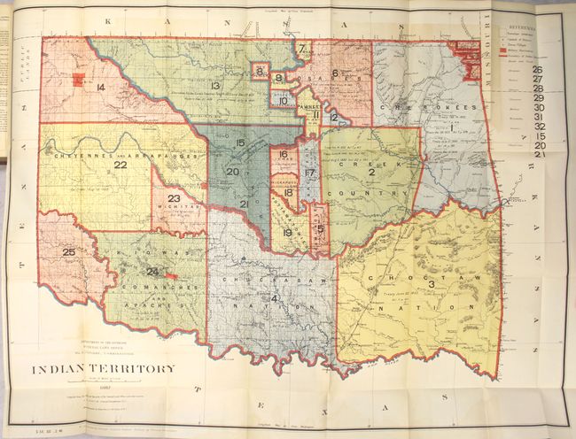
Auction 152, Lot 763
Subject: Atlases, Kansas
Everts, L. H. & Company
The Official State Atlas of Kansas Compiled from Government Surveys, County Records and Personal Investigations, 1887
Size: 15.5 x 18 inches (39.4 x 45.7 cm)
Estimate: $4,500 - $6,000
Huge, Scarce Atlas of Kansas
Sold for: $4,500
Closed on 2/18/2015
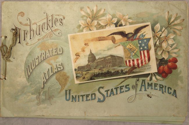
Auction 152, Lot 764
Subject: Atlases
Arbuckle Bros. Coffee Co.
Arbuckles' Illustrated Atlas of the United States of America, 1889
Size: 11.2 x 7 inches (28.4 x 17.8 cm)
Estimate: $600 - $750
Sold for: $450
Closed on 2/18/2015
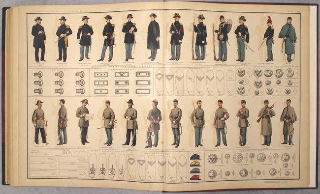
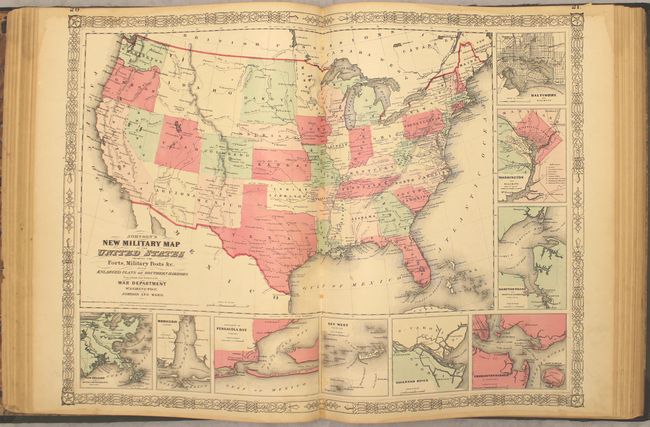
Auction 152, Lot 765
Subject: Atlases, Civil War
U.S. War Department
[2 Volumes] Atlas to Accompany the Official Records of the Union and Confederate Armies, 1891-1895
Size: 15.5 x 19 inches (39.4 x 48.3 cm)
Estimate: $2,400 - $3,000
Complete Civil War Atlas
Sold for: $2,100
Closed on 2/18/2015
Auction 152, Lot 766
Subject: Atlases
Cram, George F. & Company
Cram's Standard Library Atlas of the World, Accompanied by a Complete and Simple Index of the United States..., 1893
Size: 13.9 x 18 inches (35.3 x 45.7 cm)
Estimate: $1,000 - $1,300
Rare Cram Atlas Featuring Both Hand-Colored and Printed Maps
Sold for: $550
Closed on 2/18/2015
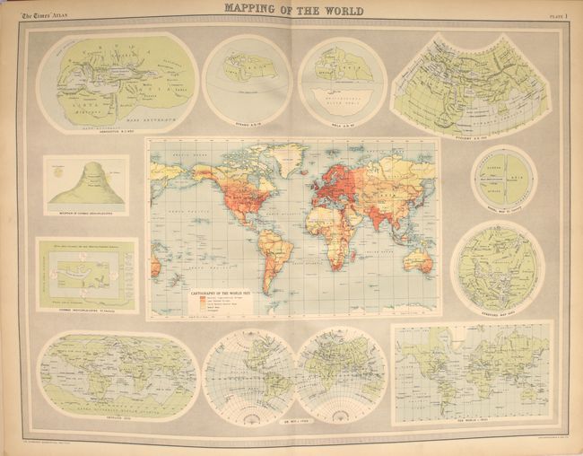
Auction 152, Lot 767
Subject: Atlases
Bartholomew, John George
The Times Survey Atlas of the World A Comprehensive Series of New and Authentic Maps Reduced from the National Surveys of the World..., 1922
Size: 12.5 x 18.3 inches (31.8 x 46.5 cm)
Estimate: $350 - $450
NO RESERVE
Sold for: $75
Closed on 2/18/2015
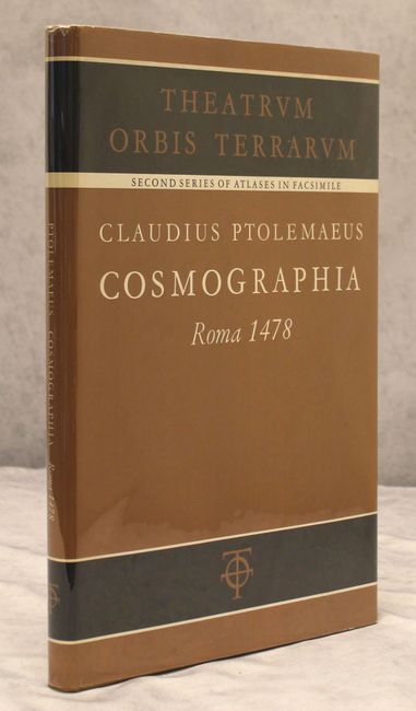
Auction 152, Lot 768
Subject: Facsimile Atlases
Ptolemy
[Facsimile] Cosmographia Roma 1478, 1966
Size: 12.2 x 17.7 inches (31 x 45 cm)
Estimate: $400 - $500
Sold for: $375
Closed on 2/18/2015
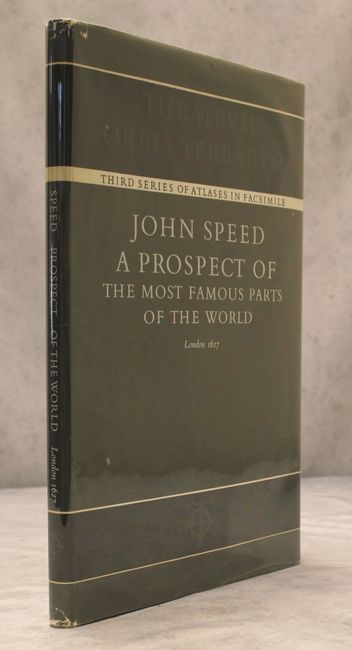
Auction 152, Lot 769
Subject: Facsimile Atlases
Speed, John
[Facsimile] A Prospect of the Most Famous Parts of the World, 1966
Size: 12.1 x 18 inches (30.7 x 45.7 cm)
Estimate: $240 - $300
Sold for: $250
Closed on 2/18/2015
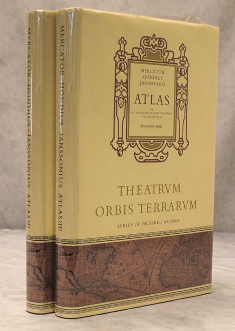
Auction 152, Lot 770
Subject: Facsimile Atlases
Mercator/Hondius
[Facsimile - 2 Volumes] Atlas or a Geographicke Description of the World, 1968
Size: 12.3 x 18.6 inches (31.2 x 47.2 cm)
Estimate: $450 - $550
Sold for: $325
Closed on 2/18/2015
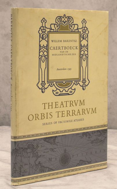
Auction 152, Lot 771
Subject: Facsimile Atlases
Claesz, Cornelis
[Facsimile] Caertboeck vande Midlandtsche Zee, 1970
Size: 11.9 x 17 inches (30.2 x 43.2 cm)
Estimate: $110 - $140
Sold for: $110
Closed on 2/18/2015
Auction 152, Lot 772
Subject: Geography Books
Didot, Firmin
Dictionnaire Geographique-Portatif, ou Description des Royaumes, Provinces, Villes, Patriarchats..., 1761
Size: 7.3 x 4.5 inches (18.5 x 11.4 cm)
Estimate: $400 - $500
Sold for: $250
Closed on 2/18/2015
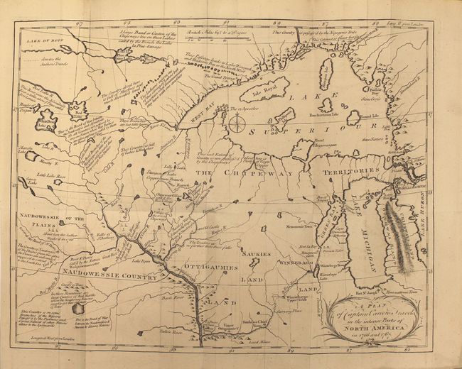
Auction 152, Lot 773
Subject: Exploration and Surveys
Carver, Jonathan (Capt.)
Travels Through the Interior Parts of North America, in the Years 1766, 1767, and 1768 ... The Second Edition, 1779
Size: 5.4 x 8.2 inches (13.7 x 20.8 cm)
Estimate: $2,000 - $2,300
Carver's Landmark Work on the Exploration of the American West
Sold for: $1,900
Closed on 2/18/2015
Auction 152, Lot 774
Subject: Exploration and Surveys, North America
Weld, Isaac
Travels Through the States of North America, and the Provinces of Upper and Lower Canada, During the Years 1795, 1796, and 1797, 1800
Size: 5.5 x 8.5 inches (14 x 21.6 cm)
Estimate: $500 - $650
Sold for: $350
Closed on 2/18/2015
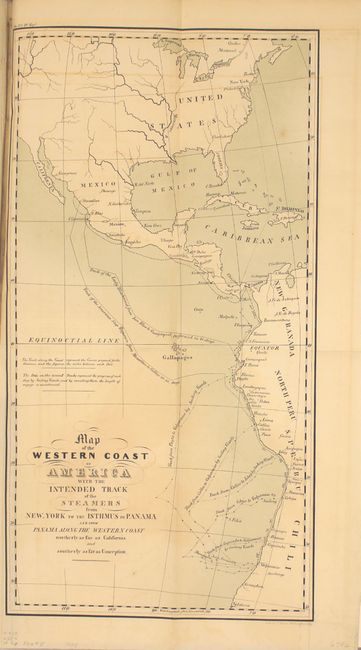
Auction 152, Lot 775
Subject: Exploration and Surveys, Panama Canal
U.S. Government
[Maps and Report] Canal - Atlantic to Pacific., 1839
Size: 6.3 x 9.4 inches (16 x 23.9 cm)
Estimate: $100 - $130
Sold for: $130
Closed on 2/18/2015
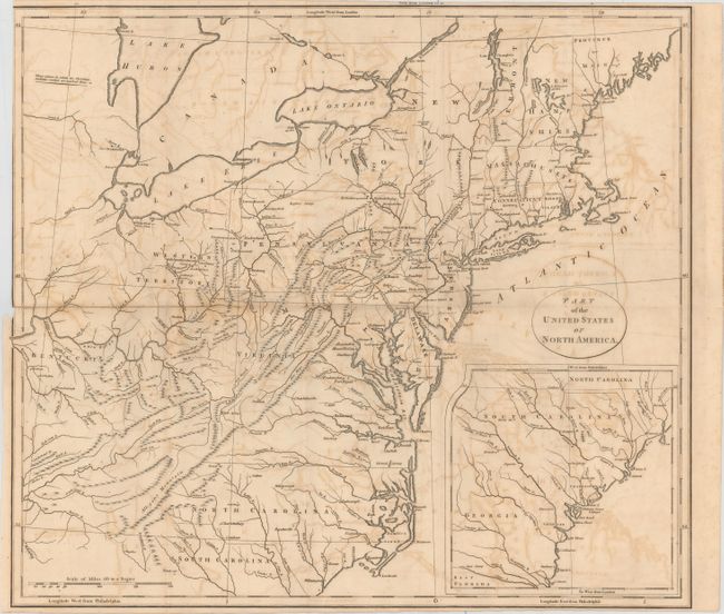
Auction 152, Lot 776
Subject: Exploration and Surveys, United States
General Land Office
The Annual Report of the Commissioner of the General Land Office, 1845
Size: 6 x 9 inches (15.2 x 22.9 cm)
Estimate: $180 - $220
Sold for: $100
Closed on 2/18/2015
Auction 152, Lot 777
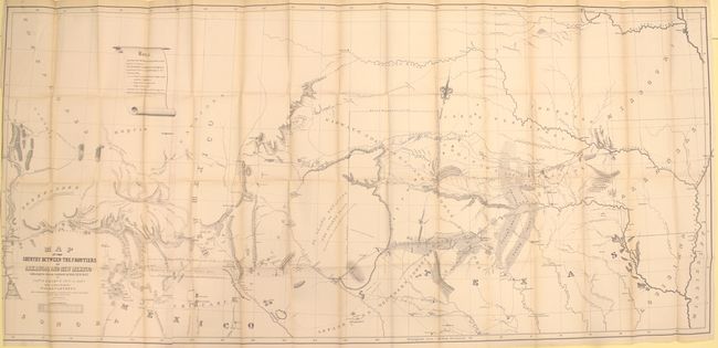
Subject: Exploration and Surveys
Marcy, Capt. R.B.
Exploration of the Red River of Louisiana, in the Year 1852, 1853
Size: 5.9 x 9.2 inches (15 x 23.4 cm)
Estimate: $550 - $700
Sold for: $400
Closed on 2/18/2015
Auction 152, Lot 778
Subject: Exploration and Surveys
U.S. State Surveys
[U.S. State Surveys - 12 Maps], 1856
Size: 8.9 x 11.9 inches (22.6 x 30.2 cm)
Estimate: $200 - $250
Sold for: $130
Closed on 2/18/2015
Auction 152, Lot 779
Subject: Exploration and Surveys
U.S. Railroad Surveys
Reports of Explorations and Surveys, to Ascertain the Most Practicable and Economical Route for a Railroad from the Mississippi River to the Pacific Ocean. Volume V, 1856
Size: 9 x 11.5 inches (22.9 x 29.2 cm)
Estimate: $350 - $450
Sold for: $275
Closed on 2/18/2015
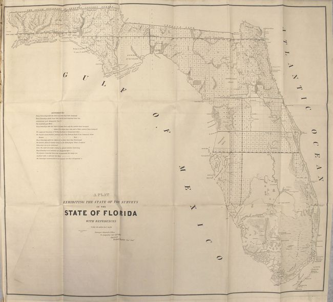
Auction 152, Lot 780
Subject: Exploration and Surveys
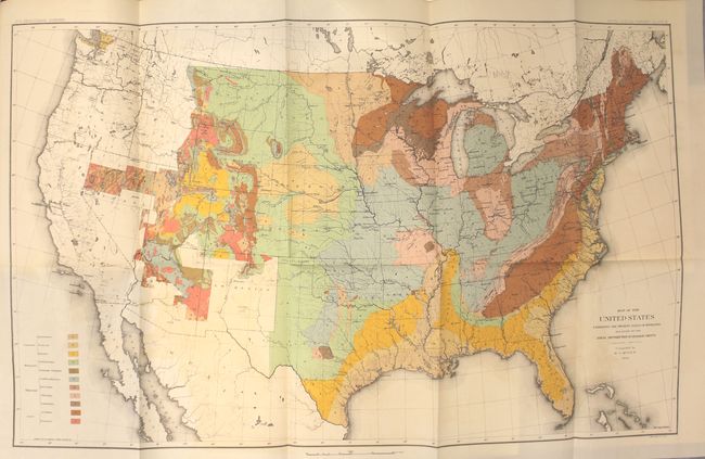
Powell, John Wesley
[Fifth Annual Report of the United States Geological Survey], 1884
Size: 7.9 x 11.6 inches (20.1 x 29.5 cm)
Estimate: $400 - $500
Complete in Presentation Binding with McGee Map
Sold for: $300
Closed on 2/18/2015
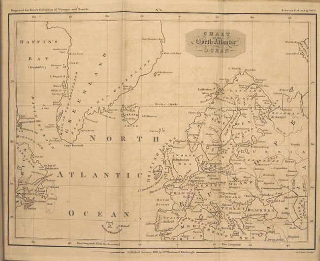
Auction 152, Lot 781
Subject: History Books
[3 Volumes] A General History and Collection of Voyages and Travels, Arranged in Systematic Order: Forming a Complete History of the Origin and Progress of Navigation, Discovery, and Commerce, by Sea and Land, from the Earliest Ages to the Present Time, 1811
Size: 5.4 x 8.6 inches (13.7 x 21.8 cm)
Estimate: $400 - $500
Unsold
Closed on 2/18/2015
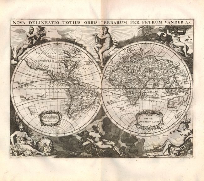
Auction 152, Lot 782
Subject: Miscellaneous Books
Gottfried, J.L.
Historische Kronyck…, 1698
Size: 9.3 x 14.5 inches (23.6 x 36.8 cm)
Estimate: $2,000 - $2,300
Gottfried’s Scarce World History Complete with the Scarce World Map
Sold for: $1,200
Closed on 2/18/2015
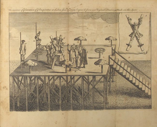
Auction 152, Lot 783
Subject: Miscellaneous Books
Baldwin, Robert
The London Magazine: or, Gentleman's Monthly Intelligencer, 1759
Size: 5.6 x 8.8 inches (14.2 x 22.4 cm)
Estimate: $200 - $250
Sold for: $100
Closed on 2/18/2015
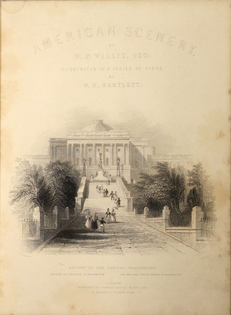
Auction 152, Lot 784
Subject: Miscellaneous Books, America
Bartlett, W. H.
American Scenery Vol. I & Vol. II, 1840
Size: 9 x 11 inches (22.9 x 27.9 cm)
Estimate: $700 - $900
Sold for: $500
Closed on 2/18/2015
Auction 152, Lot 785
Subject: Miscellaneous Books, Native Americans
Donaldson, Thomas
The George Catlin Indian Gallery in the U.S. National Museum (Smithsonian Institution) with Memoir and Statistics, 1886
Size: 6.2 x 9.3 inches (15.7 x 23.6 cm)
Estimate: $350 - $425
Sold for: $375
Closed on 2/18/2015

Auction 152, Lot 786
Subject: Miscellaneous Books
The City of Rome Atlas of Rome The Form of the City on a 1:1000 Scale Photomap and Line Map, 1992
Size: 11.6 x 11.8 inches (29.5 x 30 cm)
Estimate: $200 - $230
NO RESERVE
Unsold
Closed on 2/18/2015
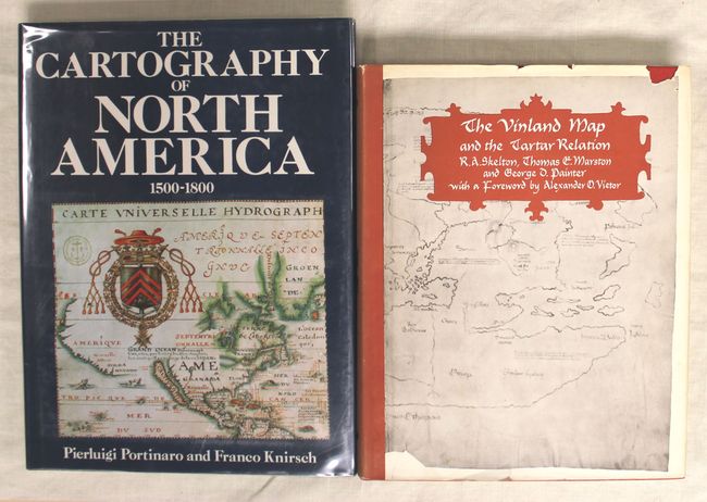
Auction 152, Lot 787
Subject: References
Portinaro & Knirsch
The Cartography of North America 1500-1800, 1987
Size: 9.8 x 13.2 inches (24.9 x 33.5 cm)
Estimate: $120 - $150
Unsold
Closed on 2/18/2015
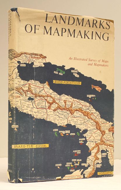
Auction 152, Lot 788
Subject: References
Tooley & Bricker
Landmarks of Mapmaking An Illustrated Surveys of Maps and Mapmakers, 1976
Size: 11.1 x 15.9 inches (28.2 x 40.4 cm)
Estimate: $80 - $100
Sold for: $40
Closed on 2/18/2015
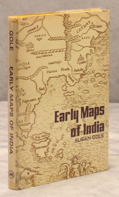
Auction 152, Lot 789
Subject: References
Gole, Susan
Early Maps of India, 1976
Size: 7.3 x 9.9 inches (18.5 x 25.1 cm)
Estimate: $70 - $90
Sold for: $55
Closed on 2/18/2015
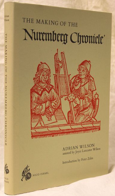
Auction 152, Lot 790
Subject: References, Incunabula
Wilson, Adrian
The Making of the Nuremberg Chronicle, 1978
Size: 9.9 x 14 inches (25.1 x 35.6 cm)
Estimate: $150 - $180
Sold for: $110
Closed on 2/18/2015
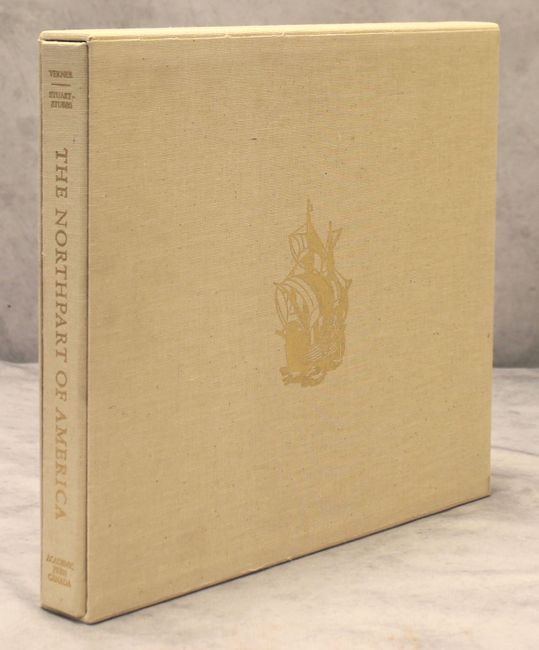
Auction 152, Lot 791
Subject: References
Verner & Stuart-Stubbs
The Northpart of America, 1979
Size: 16.4 x 14.3 inches (41.7 x 36.3 cm)
Estimate: $200 - $300
Sold for: $125
Closed on 2/18/2015
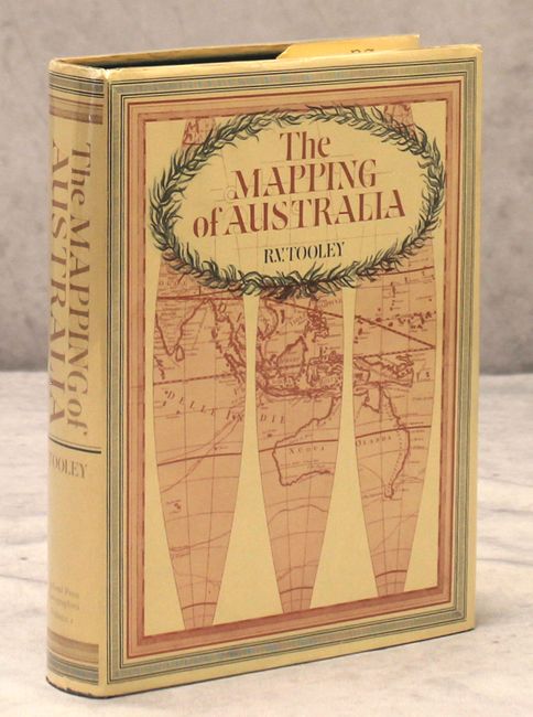
Auction 152, Lot 792
Subject: References
Tooley, R. V.
The Mapping of Australia, 1979
Size: 7.6 x 10.1 inches (19.3 x 25.7 cm)
Estimate: $350 - $450
Sold for: $180
Closed on 2/18/2015
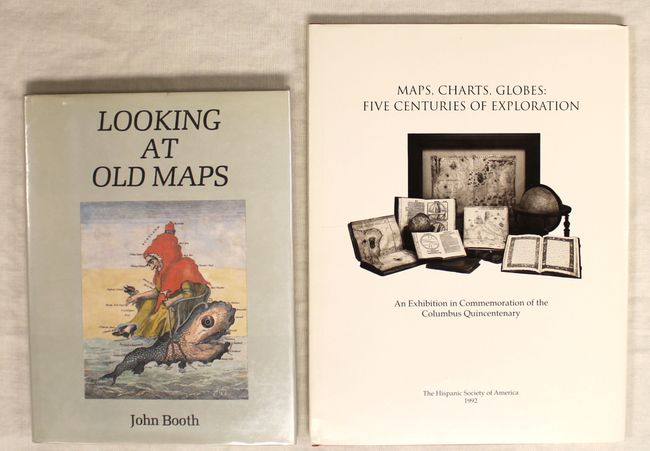
Auction 152, Lot 793
Subject: References
[Lot of 2] Looking at Old Maps [and] Maps, Charts, Globes: Five Centuries of Exploration, 1979-92
Size: See Description
Estimate: $80 - $110
Sold for: $45
Closed on 2/18/2015
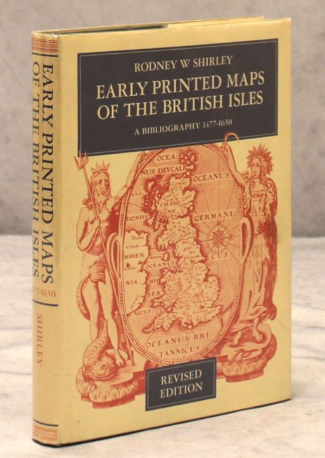
Auction 152, Lot 794
Subject: References
Shirley, Rodney W.
Early Printed Maps of the British Isles A Bibliography 1477-1650, 1980
Size: 7.6 x 10 inches (19.3 x 25.4 cm)
Estimate: $200 - $300
NO RESERVE
Unsold
Closed on 2/18/2015
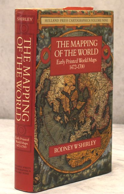
Auction 152, Lot 795
Subject: References
Shirley, Rodney W.
The Mapping of the World Early Printed World Maps 1472-1700, 1983
Size: 9.8 x 13.5 inches (24.9 x 34.3 cm)
Estimate: $550 - $700
Sold for: $400
Closed on 2/18/2015
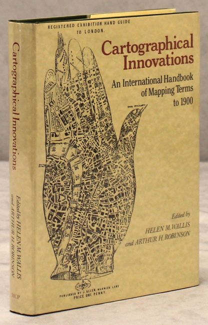
Auction 152, Lot 796
Subject: References
Cartographical Innovations An International Handbook of Mapping Terms to 1900, 1987
Size: 7 x 9.8 inches (17.8 x 24.9 cm)
Estimate: $100 - $130
Sold for: $75
Closed on 2/18/2015

Auction 152, Lot 797
Subject: References
An Atlas of Ancient Maps in China -- From the Warring States Period to the Yuan Dynasty (476B. C. -- A. D. 1368), 1990
Size: 10.6 x 14.2 inches (26.9 x 36.1 cm)
Estimate: $550 - $700
Sold for: $400
Closed on 2/18/2015
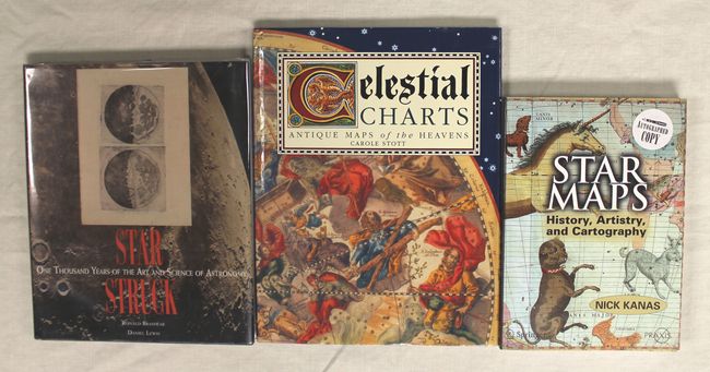
Auction 152, Lot 798
Subject: References
[Lot of 3] Star Maps History, Artistry, and Cartography [and] Celestial Charts Antique Maps of the Heavens [and] Star Struck One Thousand Years of the Art and Science of Astronomy, 1991-2007
Size: See Description
Estimate: $80 - $100
Sold for: $40
Closed on 2/18/2015
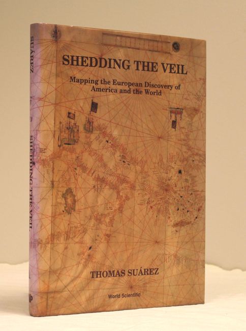
Auction 152, Lot 799
Subject: References
Suarez, Thomas
Shedding the Veil Mapping the European Discovery of America and the World, 1992
Size: 8.8 x 11.9 inches (22.4 x 30.2 cm)
Estimate: $80 - $100
Sold for: $65
Closed on 2/18/2015
Auction 152, Lot 800
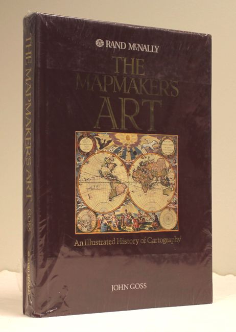
Subject: References
Goss, John
The Mapmaker's Art - An Illustrated History of Cartography, 1993
Size: 10.9 x 14.9 inches (27.7 x 37.8 cm)
Estimate: $80 - $110
Sold for: $65
Closed on 2/18/2015
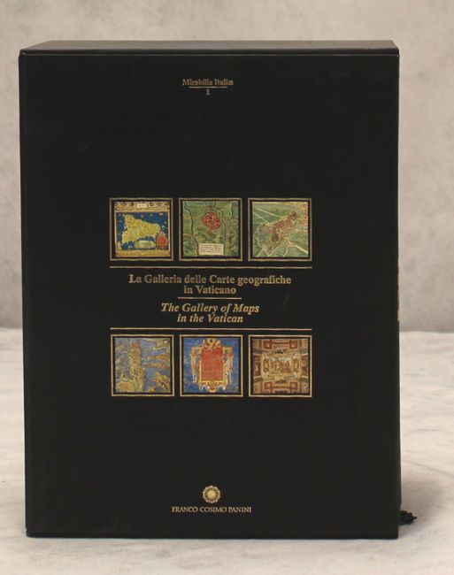
Auction 152, Lot 801
Subject: References
[3 Volumes] La Galleria delle Carte Geografiche in Vaticano / The Gallery of Maps in the Vatican, 1994
Size: 10 x 13.1 inches (25.4 x 33.3 cm)
Estimate: $850 - $1,000
Sold for: $450
Closed on 2/18/2015
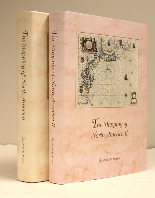
Auction 152, Lot 802
Subject: References
Burden, Philip D.
[2 Volumes] The Mapping of North America - A List of Printed Maps 1511-1670 [and] The Mapping of North America II - A List of Printed Maps 1671-1700, 1996-2007
Size: 10.6 x 14.3 inches (26.9 x 36.3 cm)
Estimate: $325 - $425
Sold for: $500
Closed on 2/18/2015
53 lots
Page 1 of 2