Catalog Archive
Auction 99, Lot 503
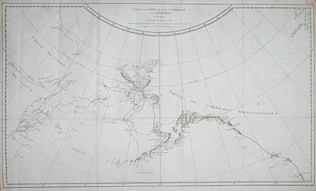
"Carte de la Cote N.O. de l'Amerique et de la Cote N.E. de l'Asie, Reconnues en 1778 et 1779…", Cook/Benard

Subject: North Pacific - Alaska
Period: 1790 (circa)
Publication: Captain Cooks' Voyages (French Edition)
Color: Black & White
Size:
26 x 15.2 inches
66 x 38.6 cm
Download High Resolution Image
(or just click on image to launch the Zoom viewer)
(or just click on image to launch the Zoom viewer)

