Catalog Archive
Auction 99, Lot 481

"Africa nach Robert Vaugondy, Rennell's und Sotzmann's Skizze des nordlichen Theils von Africa nach den Geographischen Nachrichten welche die Africanische Gesellschaft gesammelt hat…", Schneider and Weigel
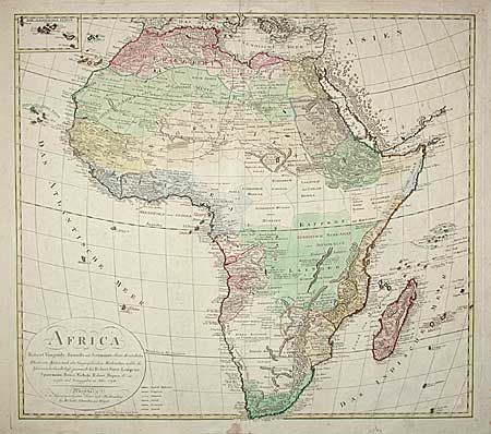
Subject: Africa

Period: 1794 (dated)

Publication: Atlas der Geographie von der bekannten…

Color: Hand Color

Size:
23.2 x 20.5 inches
58.9 x 52.1 cm
Download High Resolution Image
(or just click on image to launch the Zoom viewer)

Large map of the continent that compiles information from numerous cartographers. The result is a very detailed and fairly accurate map for the period. The Kau Boeke Veld, Varme Bocke Veld, Langen Cloof and Cango are names not appearing previously. A colored index next to the plain cartouche indicates colonial possessions (although the inclusion of Denmark is incorrect).

References: Norwich #111.

Condition: B

Faint damp stain at right with evidence of partial library stamp. Light foxing and a short tear in margins.

Estimate: $400 - $500

Sold for: $300

Closed on 6/12/2002

Archived