Catalog Archive
Auction 99, Lot 324
"[Lot of 2] Ancient Britain, I [and] Ancient Britain, II", SDUK Society for the Diffusion of Useful Knowledge
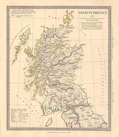
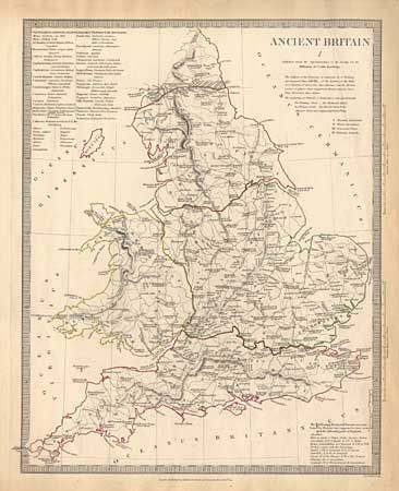
Subject: Britain
Period: 1834 (dated)
Publication:
Color: Hand Color
Size:
11.5 x 14.5 inches
29.2 x 36.8 cm
Download High Resolution Image
(or just click on image to launch the Zoom viewer)
(or just click on image to launch the Zoom viewer)