Catalog Archive
Auction 99, Lot 196
"Carte des Parties des Iles Sandwich… [on sheet with] Carte des Iles Sandwich…", La Perouse, Comte Jean F. Galoup, de
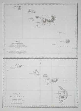
Subject: Hawaii
Period: 1797 (published)
Publication: Atlas du Voyage de la Perouse
Color: Black & White
Size:
19.2 x 26.7 inches
48.8 x 67.8 cm
Download High Resolution Image
(or just click on image to launch the Zoom viewer)
(or just click on image to launch the Zoom viewer)