Catalog Archive
Auction 99, Lot 182
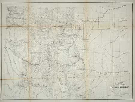
"Map of Public Surveys in Colorado Territory to accompany a report of the Surveyor Gen. 1863", General Land Office
Subject: Colorado
Period: 1863 (dated)
Publication: House Reps Ex. Doc. No 1, 38th Cong. 1st Sess.
Color: Black & White
Size:
22 x 16.3 inches
55.9 x 41.4 cm
Download High Resolution Image
(or just click on image to launch the Zoom viewer)
(or just click on image to launch the Zoom viewer)