Catalog Archive
Auction 99, Lot 141
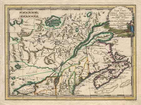
"Gli Stati Uniti dell'America Delineati sulle ultime Osservazioni - Secondo Foglio che comprende Parte Della Nuova Inghilterra ed inottre La Nuova Scozia…", Cassini, Giovanni Maria

Subject: Canada and United States
Period: 1797 (dated)
Publication: Nuovo Atlante Geografico Universale
Color: Hand Color
Size:
18.6 x 13.5 inches
47.2 x 34.3 cm
Download High Resolution Image
(or just click on image to launch the Zoom viewer)
(or just click on image to launch the Zoom viewer)

